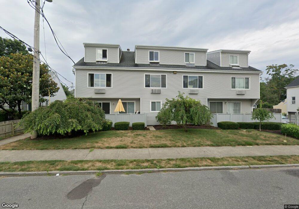
69 Harbor Ave Unit D3 Bridgeport, CT 06605
Black Rock NeighborhoodEstimated Value: $194,000 - $218,000
1
Bed
1
Bath
685
Sq Ft
$300/Sq Ft
Est. Value
About This Home
This home is located at 69 Harbor Ave Unit D3, Bridgeport, CT 06605 and is currently estimated at $205,433, approximately $299 per square foot. 69 Harbor Ave Unit D3 is a home located in Fairfield County with nearby schools including Bassick High School, Great Oaks Charter School Bridgeport, and St. Ann Campus - Catholic Academy of Bridgeport.
Ownership History
Date
Name
Owned For
Owner Type
Purchase Details
Closed on
Oct 1, 2003
Sold by
Lehren Henri H and Forzley Lisa Janine
Bought by
Devidas Mireille
Current Estimated Value
Home Financials for this Owner
Home Financials are based on the most recent Mortgage that was taken out on this home.
Original Mortgage
$87,000
Outstanding Balance
$40,711
Interest Rate
6.25%
Estimated Equity
$164,722
Create a Home Valuation Report for This Property
The Home Valuation Report is an in-depth analysis detailing your home's value as well as a comparison with similar homes in the area
Home Values in the Area
Average Home Value in this Area
Purchase History
| Date | Buyer | Sale Price | Title Company |
|---|---|---|---|
| Devidas Mireille | $92,000 | -- | |
| Devidas Mireille | $92,000 | -- |
Source: Public Records
Mortgage History
| Date | Status | Borrower | Loan Amount |
|---|---|---|---|
| Open | Devidas Mireille | $87,000 | |
| Closed | Devidas Mireille | $87,000 |
Source: Public Records
Tax History Compared to Growth
Tax History
| Year | Tax Paid | Tax Assessment Tax Assessment Total Assessment is a certain percentage of the fair market value that is determined by local assessors to be the total taxable value of land and additions on the property. | Land | Improvement |
|---|---|---|---|---|
| 2025 | $2,285 | $52,580 | $0 | $52,580 |
| 2024 | $2,285 | $52,580 | $0 | $52,580 |
| 2023 | $2,285 | $52,580 | $0 | $52,580 |
| 2022 | $2,285 | $52,580 | $0 | $52,580 |
| 2021 | $2,285 | $52,580 | $0 | $52,580 |
| 2020 | $2,404 | $44,530 | $0 | $44,530 |
| 2019 | $2,404 | $44,530 | $0 | $44,530 |
| 2018 | $2,421 | $44,530 | $0 | $44,530 |
| 2017 | $2,421 | $44,530 | $0 | $44,530 |
| 2016 | $2,421 | $44,530 | $0 | $44,530 |
| 2015 | $3,802 | $90,100 | $0 | $90,100 |
| 2014 | $3,802 | $90,100 | $0 | $90,100 |
Source: Public Records
Map
Nearby Homes
- 26 Rowsley St Unit 3
- 317 Brewster St
- 37 Rowsley St Unit 6
- 554 Brewster St Unit 4
- 188 Monroe St Unit 190
- 75 Homestead Ave Unit 77
- 39 Jetland Place Unit 41
- 166 Alfred St
- 167 Scofield Ave
- 82 Waldorf Ave
- 25 Whittier St
- 31 Whittier St
- 855 Brewster St Unit 857
- 135 Whittier St
- 165 Bennett St
- 105 Fox St Unit 107
- 95 Bedford Ave
- 85 Ash St
- 118 Berwick Ave
- 130 Brentwood Ave
- 69 Harbor Ave Unit A3
- 69 Harbor Ave Unit B2
- 69 Harbor Ave Unit E4
- 69 Harbor Ave Unit E3
- 69 Harbor Ave Unit E2
- 69 Harbor Ave Unit E1
- 69 Harbor Ave Unit D4
- 69 Harbor Ave Unit D2
- 69 Harbor Ave Unit D1
- 69 Harbor Ave Unit C4
- 69 Harbor Ave Unit C3
- 69 Harbor Ave Unit C2
- 69 Harbor Ave Unit C1
- 69 Harbor Ave Unit B4
- 69 Harbor Ave Unit B3
- 69 Harbor Ave Unit B1
- 69 Harbor Ave Unit A4
- 69 Harbor Ave Unit A2
- 69 Harbor Ave Unit A1
- 69 Harbor Ave Unit E1