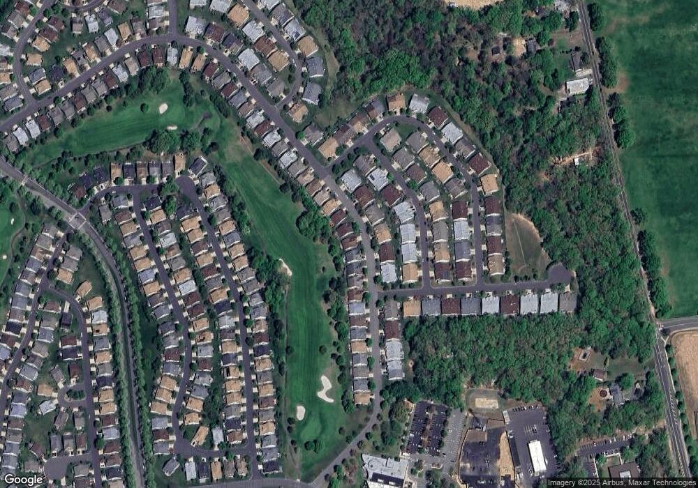
69 Harwood Rd Monroe Township, NJ 08831
Estimated Value: $548,000 - $591,000
2
Beds
2
Baths
1,926
Sq Ft
$297/Sq Ft
Est. Value
About This Home
This home is located at 69 Harwood Rd, Monroe Township, NJ 08831 and is currently estimated at $571,872, approximately $296 per square foot. 69 Harwood Rd is a home located in Middlesex County with nearby schools including Barclay Brook Elementary School, Brookside Elementary School, and Monroe Township Middle School.
Ownership History
Date
Name
Owned For
Owner Type
Purchase Details
Closed on
Sep 9, 2020
Sold by
Stillman Susan
Bought by
Orlando Michele and Stillman Family Trust 2
Current Estimated Value
Purchase Details
Closed on
Jul 30, 2020
Sold by
Mma Family Trust and Orlando Michele
Bought by
Stillman Susan
Purchase Details
Closed on
Aug 15, 2019
Sold by
Askin Jacob J
Bought by
Orlando Michele and Mma Family Trust
Purchase Details
Closed on
Nov 28, 2018
Sold by
Askin Daniel and Estate Of Andra M Askin
Bought by
Askin Jacob J
Purchase Details
Closed on
Nov 1, 2017
Sold by
Askin Frank and Askin Marilyn
Bought by
Askin Andrea M
Purchase Details
Closed on
May 31, 2006
Sold by
Salmon Marie
Bought by
Askin Frank and Askin Marilyn
Purchase Details
Closed on
Feb 11, 1999
Sold by
Us Home
Bought by
Salmon Marie
Create a Home Valuation Report for This Property
The Home Valuation Report is an in-depth analysis detailing your home's value as well as a comparison with similar homes in the area
Home Values in the Area
Average Home Value in this Area
Purchase History
| Date | Buyer | Sale Price | Title Company |
|---|---|---|---|
| Orlando Michele | -- | None Available | |
| Stillman Family Trust | -- | None Listed On Document | |
| Stillman Susan | -- | None Listed On Document | |
| Orlando Michele | $335,000 | Nrt Title Agency Llc | |
| Askin Jacob J | -- | None Available | |
| Askin Andrea M | -- | None Available | |
| Askin Frank | $420,000 | -- | |
| Salmon Marie | $248,655 | -- |
Source: Public Records
Tax History Compared to Growth
Tax History
| Year | Tax Paid | Tax Assessment Tax Assessment Total Assessment is a certain percentage of the fair market value that is determined by local assessors to be the total taxable value of land and additions on the property. | Land | Improvement |
|---|---|---|---|---|
| 2025 | $7,077 | $244,700 | $42,000 | $202,700 |
| 2024 | $6,832 | $244,700 | $42,000 | $202,700 |
| 2023 | $6,832 | $244,700 | $42,000 | $202,700 |
| 2022 | $6,707 | $244,700 | $42,000 | $202,700 |
| 2021 | $4,997 | $244,700 | $42,000 | $202,700 |
| 2020 | $6,680 | $244,700 | $42,000 | $202,700 |
| 2019 | $6,524 | $244,700 | $42,000 | $202,700 |
| 2018 | $6,455 | $244,700 | $42,000 | $202,700 |
| 2017 | $6,357 | $244,700 | $42,000 | $202,700 |
| 2016 | $6,257 | $244,700 | $42,000 | $202,700 |
| 2015 | $6,100 | $244,700 | $42,000 | $202,700 |
| 2014 | $5,885 | $244,700 | $42,000 | $202,700 |
Source: Public Records
Map
Nearby Homes
- 52 Stonewyck Place
- 44 Dawson Ln
- 34 Stonewyck Place
- 42 Brighton Ct
- 42 Gormley Ln
- 85F Winthrop Rd Unit F
- 85 Winthrop Rd Unit 85-F
- 109 Leeds Ln
- 81 Winthrop Rd Unit G
- 12 Wintons Way
- 69 Winthrop Rd
- 69A Winthrop Rd
- 90 Winthrop Rd Unit 90H
- 71 Leeds Ln
- 90H Winthrop Rd
- 18 Halifax Dr
- 38 Rutland Ln Unit i
- 79 Chichester Rd
- 1 Westboro Ln
- 3 Westboro Ln
