69 Hawthorne Rd Waltham, MA 02451
Highlands NeighborhoodEstimated Value: $662,707 - $804,000
2
Beds
1
Bath
1,092
Sq Ft
$659/Sq Ft
Est. Value
About This Home
This home is located at 69 Hawthorne Rd, Waltham, MA 02451 and is currently estimated at $719,927, approximately $659 per square foot. 69 Hawthorne Rd is a home located in Middlesex County with nearby schools including Thomas R Plympton Elementary School, John F Kennedy Middle School, and Waltham Sr High School.
Ownership History
Date
Name
Owned For
Owner Type
Purchase Details
Closed on
Aug 1, 1986
Bought by
Felton John J and Myers Carolyn S
Current Estimated Value
Create a Home Valuation Report for This Property
The Home Valuation Report is an in-depth analysis detailing your home's value as well as a comparison with similar homes in the area
Home Values in the Area
Average Home Value in this Area
Purchase History
| Date | Buyer | Sale Price | Title Company |
|---|---|---|---|
| Felton John J | $153,200 | -- |
Source: Public Records
Mortgage History
| Date | Status | Borrower | Loan Amount |
|---|---|---|---|
| Open | Felton John J | $100,000 | |
| Closed | Felton John J | $130,000 | |
| Closed | Felton John J | $122,400 | |
| Closed | Felton John J | $10,000 |
Source: Public Records
Tax History Compared to Growth
Tax History
| Year | Tax Paid | Tax Assessment Tax Assessment Total Assessment is a certain percentage of the fair market value that is determined by local assessors to be the total taxable value of land and additions on the property. | Land | Improvement |
|---|---|---|---|---|
| 2025 | $5,902 | $601,000 | $379,500 | $221,500 |
| 2024 | $5,768 | $598,300 | $379,500 | $218,800 |
| 2023 | $5,700 | $552,300 | $344,300 | $208,000 |
| 2022 | $5,825 | $522,900 | $323,200 | $199,700 |
| 2021 | $3,610 | $484,400 | $295,100 | $189,300 |
| 2020 | $3,598 | $441,000 | $267,200 | $173,800 |
| 2019 | $5,282 | $417,200 | $267,200 | $150,000 |
| 2018 | $4,712 | $373,700 | $247,400 | $126,300 |
| 2017 | $4,411 | $351,200 | $224,900 | $126,300 |
| 2016 | $4,212 | $344,100 | $217,800 | $126,300 |
| 2015 | $4,283 | $326,200 | $203,800 | $122,400 |
Source: Public Records
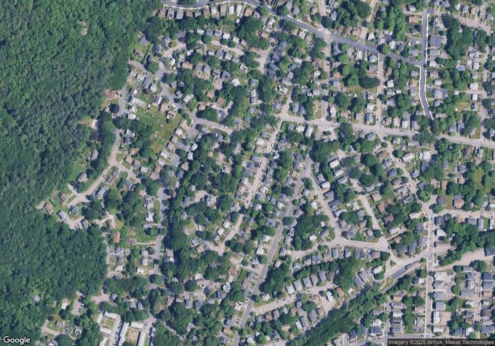
Map
Nearby Homes
- 91 Prentice St
- 37 Summit St
- 43-45 Welligton Unit 3
- 15 Banks St Unit 4
- 14 Willard St
- 14 Claremont St
- 948 Main St Unit 209
- 948 Main St Unit 105
- 15 Howard St
- 79-81 Vernon St
- 32 Harvard St Unit 2
- 39 Floyd St Unit 2
- 160 School St Unit 3-1
- 326 Bacon St
- 202 Bear Hill Rd
- 7-11.5 Felton
- 70 School St
- 55-57 Crescent St
- 85 Crescent St
- 16 Winter St Unit 26C
- 65 Hawthorne Rd
- 73 Hawthorne Rd
- 61 Hawthorne Rd
- 75 Sartell Rd
- 69 Sartell Rd
- 65 Sartell Rd
- 70 Hawthorne Rd
- 81 Hawthorne Rd
- 66 Hawthorne Rd
- 74 Hawthorne Rd
- 57 Hawthorne Rd
- 79 Sartell Rd
- 78 Hawthorne Rd
- 62 Hawthorne Rd
- 59 Sartell Rd
- 53 Hawthorne Rd
- 85 Hawthorne Rd
- 58 Hawthorne Rd
- 84 Hawthorne Rd
- 72 Sartell Rd