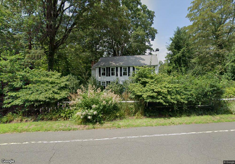
69 Hill Rd Redding, CT 06896
Estimated Value: $841,000 - $1,117,000
3
Beds
3
Baths
2,448
Sq Ft
$382/Sq Ft
Est. Value
About This Home
This home is located at 69 Hill Rd, Redding, CT 06896 and is currently estimated at $934,606, approximately $381 per square foot. 69 Hill Rd is a home located in Fairfield County with nearby schools including Redding Elementary School, John Read Middle School, and Joel Barlow High School.
Ownership History
Date
Name
Owned For
Owner Type
Purchase Details
Closed on
May 20, 2021
Sold by
Birch Lawrence A and Birch Margaret J
Bought by
Birch Ft
Current Estimated Value
Purchase Details
Closed on
Dec 1, 1980
Bought by
Birch Lawrence A and Birch Margaret J
Create a Home Valuation Report for This Property
The Home Valuation Report is an in-depth analysis detailing your home's value as well as a comparison with similar homes in the area
Home Values in the Area
Average Home Value in this Area
Purchase History
| Date | Buyer | Sale Price | Title Company |
|---|---|---|---|
| Birch Ft | -- | None Available | |
| Birch Lawrence A | -- | -- |
Source: Public Records
Mortgage History
| Date | Status | Borrower | Loan Amount |
|---|---|---|---|
| Previous Owner | Birch Lawrence A | $473,137 | |
| Previous Owner | Birch Lawrence A | $250,000 |
Source: Public Records
Tax History
| Year | Tax Paid | Tax Assessment Tax Assessment Total Assessment is a certain percentage of the fair market value that is determined by local assessors to be the total taxable value of land and additions on the property. | Land | Improvement |
|---|---|---|---|---|
| 2025 | $14,602 | $494,300 | $150,900 | $343,400 |
| 2024 | $14,196 | $494,300 | $150,900 | $343,400 |
| 2023 | $13,687 | $494,300 | $150,900 | $343,400 |
| 2022 | $11,462 | $343,800 | $156,700 | $187,100 |
| 2021 | $11,290 | $343,800 | $156,700 | $187,100 |
| 2020 | $11,290 | $343,800 | $156,700 | $187,100 |
| 2019 | $11,290 | $343,800 | $156,700 | $187,100 |
| 2018 | $10,905 | $343,800 | $156,700 | $187,100 |
| 2017 | $12,215 | $412,400 | $157,000 | $255,400 |
| 2016 | $12,059 | $412,400 | $157,000 | $255,400 |
| 2015 | $11,922 | $412,400 | $157,000 | $255,400 |
| 2014 | $11,922 | $412,400 | $157,000 | $255,400 |
Source: Public Records
Map
Nearby Homes
- 45 Great Pasture Rd
- 41 Deer Hill Rd
- 2 Longwood Dr
- 36 Fox Run Rd
- 299 Redding Rd
- 7 Long Meadow Ln
- 24 Costa Ln
- 241 Black Rock Turnpike
- 22 Ledgewood Rd
- 5 South Ln
- 229 Umpawaug Rd
- 219 Redding Rd
- 74 Seventy Acre Rd
- 123A Peaceable St
- 19 Mine Hill Rd
- 63 Turney Rd
- 193 Chestnut Ridge Rd
- 492 Newtown Turnpike
- 138 Putnam Park Rd
- 9 New Light Dr
- 67 Hill Rd
- 66 Hill Rd
- 72 Hill Rd
- 65 Hill Rd
- 8 Shady Ln
- DC 11 Parcela 56 Distr
- Lot #11 Marchant Rd
- Lot #1 Marchant Rd
- 10 Great Oak Ln
- 11 Great Oak Ln
- 61 Hill Rd
- 85 Hill Rd
- 14 Great Oak Ln
- 6 Winding Brook Ct
- 12 Shady Ln
- 4 Cross Hwy
- 3 Deer Hill Rd
- 3 Deer Hill Rd Unit 2
- 66 Great Pasture Rd
- 5 Winding Brook Ct
Your Personal Tour Guide
Ask me questions while you tour the home.