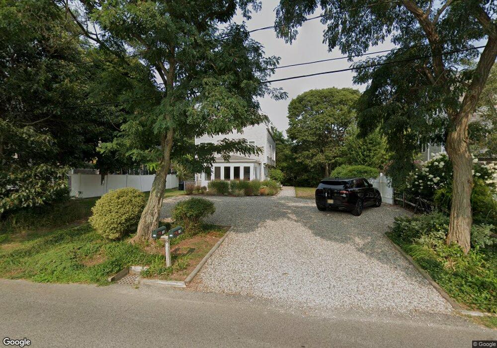
69 Howland St Unit 3A Provincetown, MA 02657
Estimated Value: $1,323,000 - $1,481,115
3
Beds
3
Baths
1,308
Sq Ft
$1,055/Sq Ft
Est. Value
About This Home
This home is located at 69 Howland St Unit 3A, Provincetown, MA 02657 and is currently estimated at $1,379,529, approximately $1,054 per square foot. 69 Howland St Unit 3A is a home located in Barnstable County with nearby schools including Provincetown Schools.
Ownership History
Date
Name
Owned For
Owner Type
Purchase Details
Closed on
Dec 6, 2002
Sold by
Silva Paul S
Bought by
Paradis Anne M and Canavan Maryjane
Current Estimated Value
Home Financials for this Owner
Home Financials are based on the most recent Mortgage that was taken out on this home.
Original Mortgage
$292,000
Outstanding Balance
$126,329
Interest Rate
6.34%
Mortgage Type
Purchase Money Mortgage
Estimated Equity
$1,253,200
Purchase Details
Closed on
Nov 28, 2001
Sold by
Melamed Stephen and Melamed Betsy
Bought by
Silva Paul S
Home Financials for this Owner
Home Financials are based on the most recent Mortgage that was taken out on this home.
Original Mortgage
$125,000
Interest Rate
6.66%
Mortgage Type
Purchase Money Mortgage
Create a Home Valuation Report for This Property
The Home Valuation Report is an in-depth analysis detailing your home's value as well as a comparison with similar homes in the area
Home Values in the Area
Average Home Value in this Area
Purchase History
| Date | Buyer | Sale Price | Title Company |
|---|---|---|---|
| Paradis Anne M | $365,000 | -- | |
| Paradis Anne M | $365,000 | -- | |
| Silva Paul S | $270,000 | -- |
Source: Public Records
Mortgage History
| Date | Status | Borrower | Loan Amount |
|---|---|---|---|
| Open | Silva Paul S | $292,000 | |
| Closed | Silva Paul S | $292,000 | |
| Previous Owner | Silva Paul S | $125,000 |
Source: Public Records
Tax History Compared to Growth
Tax History
| Year | Tax Paid | Tax Assessment Tax Assessment Total Assessment is a certain percentage of the fair market value that is determined by local assessors to be the total taxable value of land and additions on the property. | Land | Improvement |
|---|---|---|---|---|
| 2025 | $6,691 | $1,194,800 | $0 | $1,194,800 |
| 2024 | $6,294 | $1,127,900 | $0 | $1,127,900 |
| 2023 | $5,013 | $838,300 | $0 | $838,300 |
| 2022 | $4,012 | $0 | $0 | $0 |
| 2021 | $4,012 | $566,600 | $0 | $566,600 |
| 2020 | $3,807 | $575,000 | $0 | $575,000 |
| 2019 | $3,834 | $543,100 | $0 | $543,100 |
| 2018 | $3,466 | $465,300 | $0 | $465,300 |
| 2017 | $3,453 | $447,800 | $0 | $447,800 |
| 2016 | $3,415 | $437,800 | $0 | $437,800 |
| 2015 | $3,080 | $417,300 | $0 | $417,300 |
Source: Public Records
Map
Nearby Homes
- 86 Harry Kemp Way Unit 2
- 46 Harry Kemp Way Unit 2
- 6 Daggett Ln
- 512 Commercial St
- 184 Bradford St Unit 1
- 501 Commercial St Unit 17
- 521 Commercial St Unit 2
- 16 Off Conwell St
- 495 Commercial St Unit 6
- 495 Commercial St Unit 9
- 495 Commercial St Unit 11
- 452 Commercial St Unit 3
- 37 Pearl St
- 5 Kiley Ct Unit 2
- 535 Commercial St Unit 2
- 535 Commercial St Unit 2
- 539 Commercial St Unit 1
- 36 Pearl St Unit 2
- 36 Pearl St Unit 3
- 50 Nelson Ave Unit 6
- 69 Howland St Unit 3B
- 69 Howland St Unit B
- 69 Howland St Unit U3B
- 73 Howland St Unit 2B
- 73 Howland St Unit 2A
- 65 Howland St Unit 4B
- 65 Howland St Unit 4A
- 65 Howland St Unit B
- 75 Howland St Unit 1B
- 75 Howland St Unit 1A
- 75 Howland St Unit U1B
- 63R Howland St
- 94 Harry Kemp Way
- 90 Harry Kemp Way
- 56 Howland St
- 53 Howland St
- 446 Route 6
- 488 Rte 6
- 11 Oak Dr
- 82 Harry Kemp Way