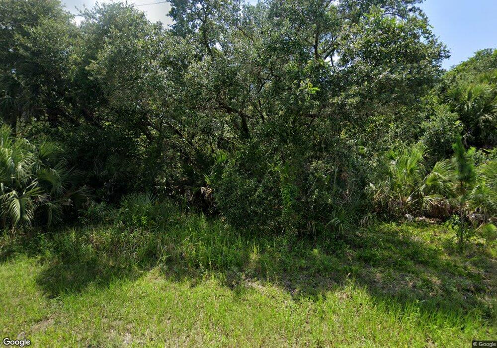
69 Independence St Port Charlotte, FL 33954
Estimated Value: $26,000 - $360,000
--
Bed
--
Bath
--
Sq Ft
10,019
Sq Ft Lot
About This Home
This home is located at 69 Independence St, Port Charlotte, FL 33954 and is currently estimated at $152,333. 69 Independence St is a home located in Charlotte County with nearby schools including Kingsway Elementary School, Port Charlotte Middle School, and Port Charlotte High School.
Ownership History
Date
Name
Owned For
Owner Type
Purchase Details
Closed on
Apr 14, 2025
Sold by
American Prime Llc
Bought by
Makato Investments Llc
Current Estimated Value
Purchase Details
Closed on
Jan 21, 2025
Sold by
Vero Atlantic 2 Llc
Bought by
American Prime Llc
Purchase Details
Closed on
Mar 26, 2019
Sold by
Jimenez Alexis and Jimenez Margaret
Bought by
Vero Atlantic 2 Llc
Purchase Details
Closed on
Dec 12, 2005
Sold by
Mcelroy Robert
Bought by
Jimenez Alexis and Jimenez Margaret
Purchase Details
Closed on
Apr 6, 2004
Sold by
Schwartz Bettina E and Schwartz Michael M
Bought by
Mcelroy Robert
Create a Home Valuation Report for This Property
The Home Valuation Report is an in-depth analysis detailing your home's value as well as a comparison with similar homes in the area
Home Values in the Area
Average Home Value in this Area
Purchase History
| Date | Buyer | Sale Price | Title Company |
|---|---|---|---|
| Makato Investments Llc | $105,000 | None Listed On Document | |
| American Prime Llc | $567,500 | None Listed On Document | |
| Vero Atlantic 2 Llc | $6,315 | Attorney | |
| Jimenez Alexis | $83,000 | None Available | |
| Mcelroy Robert | $6,000 | Safetitle Company |
Source: Public Records
Tax History Compared to Growth
Tax History
| Year | Tax Paid | Tax Assessment Tax Assessment Total Assessment is a certain percentage of the fair market value that is determined by local assessors to be the total taxable value of land and additions on the property. | Land | Improvement |
|---|---|---|---|---|
| 2024 | $440 | $15,300 | $15,300 | -- |
| 2023 | $440 | $5,589 | $0 | $0 |
| 2022 | $400 | $10,328 | $10,328 | $0 |
| 2021 | $362 | $4,684 | $4,684 | $0 |
| 2020 | $346 | $4,199 | $4,199 | $0 |
| 2019 | $327 | $4,038 | $4,038 | $0 |
| 2018 | $318 | $3,957 | $3,957 | $0 |
| 2017 | $306 | $2,761 | $2,761 | $0 |
| 2016 | $301 | $1,907 | $0 | $0 |
| 2015 | $294 | $1,734 | $0 | $0 |
| 2014 | $295 | $2,020 | $0 | $0 |
Source: Public Records
Map
Nearby Homes
- 84 Birchcrest Blvd
- 76 Birchcrest Blvd
- 76 Independence St
- 117 Independence St
- 140 Snowden St
- 21551 Bachmann Blvd
- 78 Algonquin St
- 54 Algonquin St
- 166 Birchcrest Blvd
- 142 Algonquin St
- 109 Snedeker St
- 61 Snedeker St
- 21464 Bingham Ave
- 0 Lot 18 S Raintree Blvd
- 22049 Deborah Ave
- 22057 Deborah Ave
- 22106 Deborah Ave
- 22082 Deborah Ave
- 22105 Deborah Ave
- 150 Chickering St
- 61 Independence St
- 77 Independence St
- 93 Independence St
- 156 Independence St
- 60 Birchcrest Blvd
- 60 Independence St
- 84 Independence St
- 123 &133 Birchcrest Blvd Unit 14 & 15
- 100 & 108 Birchcrest Blvd
- 163&173 Birchcrest Blvd
- 123 &133 Birchcrest Blvd
- 529 Birchcrest Blvd
- 378 Birchcrest Blvd
- 50 Independence St
- 92 Independence St
- 69 Algonquin St
- 77 Algonquin St
- 22020 Seyburn Terrace
- 85 Algonquin St
- 53 Algonquin St
