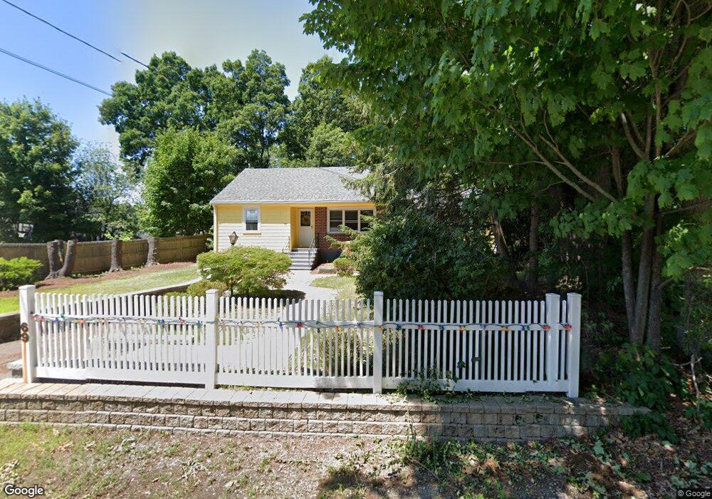
69 Kendall Ln Natick, MA 01760
Estimated Value: $780,551 - $903,000
3
Beds
2
Baths
1,439
Sq Ft
$586/Sq Ft
Est. Value
About This Home
This home is located at 69 Kendall Ln, Natick, MA 01760 and is currently estimated at $842,888, approximately $585 per square foot. 69 Kendall Ln is a home located in Middlesex County with nearby schools including Natick High School, J F Kennedy Middle School, and Brown Elementary School.
Ownership History
Date
Name
Owned For
Owner Type
Purchase Details
Closed on
Aug 28, 2003
Sold by
Wigmore Donna M and Lucente Richard
Bought by
Bimber Sandra M
Current Estimated Value
Home Financials for this Owner
Home Financials are based on the most recent Mortgage that was taken out on this home.
Original Mortgage
$322,700
Outstanding Balance
$144,016
Interest Rate
5.69%
Mortgage Type
Purchase Money Mortgage
Estimated Equity
$698,872
Create a Home Valuation Report for This Property
The Home Valuation Report is an in-depth analysis detailing your home's value as well as a comparison with similar homes in the area
Home Values in the Area
Average Home Value in this Area
Purchase History
| Date | Buyer | Sale Price | Title Company |
|---|---|---|---|
| Bimber Sandra M | $423,000 | -- |
Source: Public Records
Mortgage History
| Date | Status | Borrower | Loan Amount |
|---|---|---|---|
| Open | Bimber Sandra M | $322,700 |
Source: Public Records
Tax History Compared to Growth
Tax History
| Year | Tax Paid | Tax Assessment Tax Assessment Total Assessment is a certain percentage of the fair market value that is determined by local assessors to be the total taxable value of land and additions on the property. | Land | Improvement |
|---|---|---|---|---|
| 2025 | $7,908 | $661,200 | $454,800 | $206,400 |
| 2024 | $7,739 | $631,200 | $437,800 | $193,400 |
| 2023 | $7,602 | $601,400 | $409,900 | $191,500 |
| 2022 | $7,328 | $549,300 | $371,700 | $177,600 |
| 2021 | $4,591 | $513,800 | $349,500 | $164,300 |
| 2020 | $6,767 | $497,200 | $332,900 | $164,300 |
| 2019 | $7,095 | $497,200 | $332,900 | $164,300 |
| 2018 | $22,976 | $484,900 | $332,900 | $152,000 |
| 2017 | $8,421 | $445,400 | $296,100 | $149,300 |
| 2016 | $5,741 | $423,100 | $275,100 | $148,000 |
| 2015 | $5,654 | $409,100 | $275,100 | $134,000 |
Source: Public Records
Map
Nearby Homes
- 11 Village Hill Ln Unit 9
- 44 Village Hill Ln
- 9 Village Hill Ln Unit 24
- 6 Village Rock Ln Unit 17
- 1 Glen St Unit B
- 7 Orchard View Cir Unit 7
- 57 Village Brook Ln Unit 5
- 50 Village Brook Ln Unit 4
- 20 Walden Dr Unit 16
- 12 Walden Dr Unit 19
- 6 Post Oak Ln Unit 10
- 24 Silver Hill Ln
- 11 Post Oak Ln Unit 6
- 7 Village Way Unit 4
- 131 2nd St
- 150 2nd St Unit 310
- 150 2nd St Unit 204
- 9 Silver Hill Ln Unit 19
- 32 Silver Hill Ln Unit 1
- 38 Silver Hill Ln Unit 8
- 71 A Kendall Ln Unit 2
- 71 Kendall Ln
- 7 H F Brown Way Unit 7
- 1 Mohegan Trail
- 9 H F Brown Way Unit 9
- 3 Mohegan Trail
- 19 Village Hill Ln Unit 8
- 19 Village Hill Ln Unit 7
- 19 Village Hill Ln Unit 6
- 19 Village Hill Ln Unit 5
- 19 Village Hill Ln Unit 4
- 19 Village Hill Ln Unit 2
- 19 Village Hill Ln Unit 1
- 73 Kendall Ln
- 74 Kendall Ln
- 5 Mohegan Trail
- 4 Mohegan Trail
- 17 Village Hill Ln Unit 8
- 17 Village Hill Ln Unit 7
- 17 Village Hill Ln Unit 6