69 Kirkland Rd Colquitt, GA 39837
Estimated Value: $152,000 - $227,000
3
Beds
2
Baths
1,540
Sq Ft
$133/Sq Ft
Est. Value
About This Home
This home is located at 69 Kirkland Rd, Colquitt, GA 39837 and is currently estimated at $204,374, approximately $132 per square foot. 69 Kirkland Rd is a home located in Miller County with nearby schools including Miller County Elementary School, Miller County Middle School, and Miller County High School.
Ownership History
Date
Name
Owned For
Owner Type
Purchase Details
Closed on
May 30, 2024
Sold by
Williams Nancy Diane
Bought by
Adams Gloria C and Adams Gordon T
Current Estimated Value
Home Financials for this Owner
Home Financials are based on the most recent Mortgage that was taken out on this home.
Original Mortgage
$149,500
Outstanding Balance
$147,664
Interest Rate
7.22%
Mortgage Type
New Conventional
Estimated Equity
$56,710
Purchase Details
Closed on
Aug 12, 2022
Sold by
Massey Kenneth R
Bought by
Williams Nancy Diane
Home Financials for this Owner
Home Financials are based on the most recent Mortgage that was taken out on this home.
Original Mortgage
$120,000
Interest Rate
5.51%
Mortgage Type
New Conventional
Purchase Details
Closed on
Feb 28, 2020
Sold by
George Joseph C
Bought by
Massey Kenneth R and Massey Katie C
Home Financials for this Owner
Home Financials are based on the most recent Mortgage that was taken out on this home.
Original Mortgage
$116,400
Interest Rate
3.5%
Mortgage Type
New Conventional
Purchase Details
Closed on
Aug 31, 2010
Sold by
Citimortgage Inc
Bought by
George Joey C
Purchase Details
Closed on
Apr 6, 2010
Sold by
Newberry Phillip E
Bought by
Citimortgage Inc
Purchase Details
Closed on
Jun 16, 2005
Sold by
Thomas Stephanie L
Bought by
Newberry Phillip E
Home Financials for this Owner
Home Financials are based on the most recent Mortgage that was taken out on this home.
Original Mortgage
$57,330
Interest Rate
5.66%
Mortgage Type
New Conventional
Purchase Details
Closed on
Jul 28, 1999
Sold by
Jones Mary A
Bought by
Thomas Clarence E
Purchase Details
Closed on
Jun 4, 1999
Sold by
Jones Cecil V Estate
Bought by
Jones Mark A
Purchase Details
Closed on
Aug 9, 1989
Sold by
Roberts Don Eldridge
Bought by
Jones Cecil V and Jones Mary A
Create a Home Valuation Report for This Property
The Home Valuation Report is an in-depth analysis detailing your home's value as well as a comparison with similar homes in the area
Home Values in the Area
Average Home Value in this Area
Purchase History
| Date | Buyer | Sale Price | Title Company |
|---|---|---|---|
| Adams Gloria C | $219,500 | -- | |
| Williams Nancy Diane | $190,000 | -- | |
| Massey Kenneth R | $120,000 | -- | |
| George Joey C | $37,500 | -- | |
| Citimortgage Inc | $64,600 | -- | |
| Newberry Phillip E | $63,700 | -- | |
| Thomas Clarence E | $50,500 | -- | |
| Jones Mark A | -- | -- | |
| Jones Cecil V | $35,000 | -- |
Source: Public Records
Mortgage History
| Date | Status | Borrower | Loan Amount |
|---|---|---|---|
| Open | Adams Gloria C | $149,500 | |
| Previous Owner | Williams Nancy Diane | $120,000 | |
| Previous Owner | Massey Kenneth R | $116,400 | |
| Previous Owner | Newberry Phillip E | $57,330 |
Source: Public Records
Tax History Compared to Growth
Tax History
| Year | Tax Paid | Tax Assessment Tax Assessment Total Assessment is a certain percentage of the fair market value that is determined by local assessors to be the total taxable value of land and additions on the property. | Land | Improvement |
|---|---|---|---|---|
| 2024 | $1,951 | $58,028 | $1,786 | $56,242 |
| 2023 | $1,552 | $43,584 | $1,786 | $41,798 |
| 2022 | $1,345 | $35,170 | $1,786 | $33,384 |
| 2021 | $1,331 | $35,170 | $1,786 | $33,384 |
| 2020 | $1,331 | $35,170 | $1,786 | $33,384 |
| 2019 | $1,335 | $35,170 | $1,786 | $33,384 |
| 2018 | $1,297 | $35,170 | $1,786 | $33,384 |
| 2017 | $1,297 | $35,170 | $1,786 | $33,384 |
| 2016 | $1,116 | $30,260 | $1,786 | $28,474 |
| 2015 | -- | $25,426 | $1,648 | $23,778 |
| 2014 | -- | $25,426 | $1,648 | $23,778 |
| 2013 | -- | $25,425 | $1,648 | $23,777 |
Source: Public Records
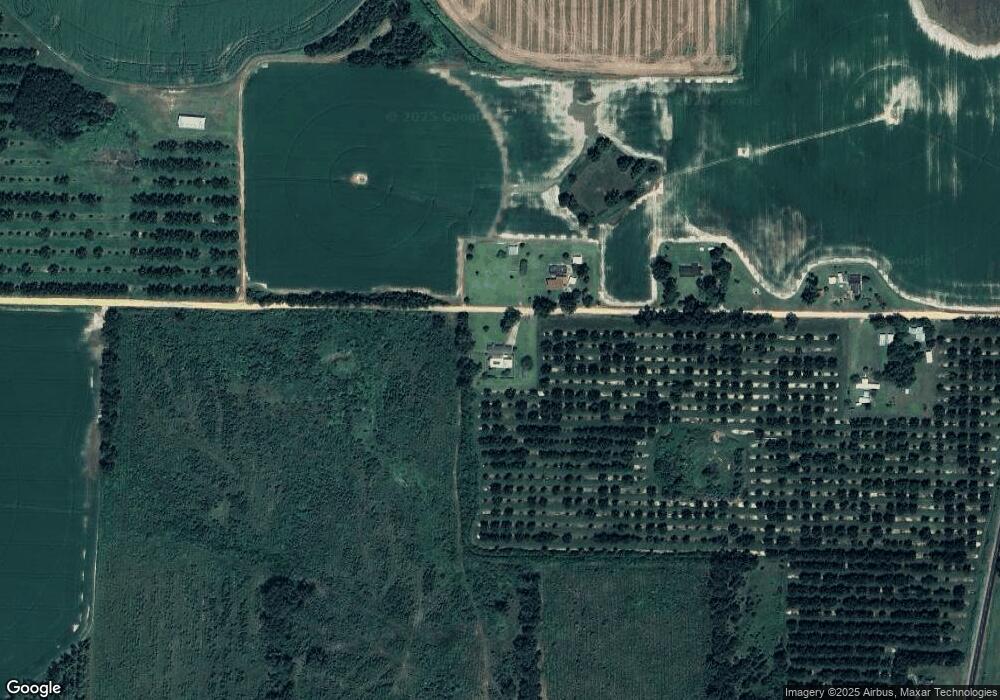
Map
Nearby Homes
- 1645 Georgia 91
- 394 Bush Dairy Rd
- 994 Hornsby Rd
- 755 Mayhaw Rd
- Grady Cobb Rd
- US 27 Us Highway 27
- 102 Bremond St
- 2835 Georgia 91
- 157 E Pine St
- 210 N First St
- 708 E Crawford St
- 1502 Brinson Rd
- 356 E Main St
- 721 E Crawford St
- 308 E Carr St
- 1068 Georgia 39
- 570 E Pine St
- 300 N First St
- 000 Thompson Town Rd
- lot 564 Martin Dr
- 69 County Rd
- 66 Kirkland Rd
- 62 Kirkland Rd
- 46 Kirkland Rd
- 24 Kirkland Rd
- 15 Kirkland Rd
- 173 Grimsley Rd
- 159 Grimsley Rd
- 202 Grimsley Rd
- 149 Grimsley Rd
- 141 Grimsley Rd
- 224 Grimsley Rd
- 248 Grimsley Rd
- 257 Grimsley Rd
- 87 Grimsley Rd
- 265 Grimsley Rd
- 258 Grimsley Rd
- 176 Grimsley Rd
- 142 Grimsley Rd
- 270 Grimsley Rd