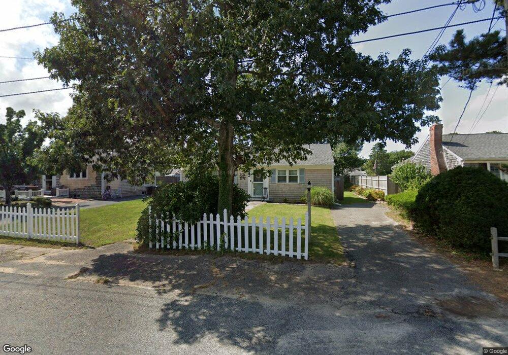
69 Lawrence Rd Dennis Port, MA 02639
Dennis Port NeighborhoodEstimated Value: $479,000 - $630,000
3
Beds
3
Baths
896
Sq Ft
$629/Sq Ft
Est. Value
About This Home
This home is located at 69 Lawrence Rd, Dennis Port, MA 02639 and is currently estimated at $563,939, approximately $629 per square foot. 69 Lawrence Rd is a home located in Barnstable County with nearby schools including Dennis-Yarmouth Regional High School and St. Pius X. School.
Ownership History
Date
Name
Owned For
Owner Type
Purchase Details
Closed on
Mar 5, 2024
Sold by
Root Stephen F and Root Elizabeth A
Bought by
Root Ft and Root
Current Estimated Value
Purchase Details
Closed on
Aug 23, 2013
Sold by
69 Lawrence Road Nt and Root
Bought by
Root Stephen F and Root Elizabeth A
Create a Home Valuation Report for This Property
The Home Valuation Report is an in-depth analysis detailing your home's value as well as a comparison with similar homes in the area
Home Values in the Area
Average Home Value in this Area
Purchase History
| Date | Buyer | Sale Price | Title Company |
|---|---|---|---|
| Root Ft | -- | None Available | |
| Root Stephen F | $220,000 | -- | |
| Root Stephen F | $220,000 | -- | |
| Root Stephen F | $220,000 | -- |
Source: Public Records
Mortgage History
| Date | Status | Borrower | Loan Amount |
|---|---|---|---|
| Closed | Root Stephen F | $0 |
Source: Public Records
Tax History Compared to Growth
Tax History
| Year | Tax Paid | Tax Assessment Tax Assessment Total Assessment is a certain percentage of the fair market value that is determined by local assessors to be the total taxable value of land and additions on the property. | Land | Improvement |
|---|---|---|---|---|
| 2025 | $2,113 | $488,000 | $193,500 | $294,500 |
| 2024 | $1,978 | $450,600 | $186,100 | $264,500 |
| 2023 | $1,913 | $409,600 | $169,200 | $240,400 |
| 2022 | $1,837 | $328,000 | $152,400 | $175,600 |
| 2021 | $1,896 | $314,400 | $170,800 | $143,600 |
| 2020 | $1,706 | $279,700 | $149,400 | $130,300 |
| 2019 | $10,328 | $263,900 | $146,500 | $117,400 |
| 2018 | $4,750 | $246,300 | $139,500 | $106,800 |
| 2017 | $8,749 | $232,800 | $129,500 | $103,300 |
| 2016 | $1,482 | $227,000 | $139,500 | $87,500 |
| 2015 | $1,453 | $227,000 | $139,500 | $87,500 |
| 2014 | $1,314 | $207,000 | $119,500 | $87,500 |
Source: Public Records
Map
Nearby Homes
- 80 Michaels Ave
- 37 Ocean Dr Unit 2
- 19 Standish Way
- 31 Easy St
- 64 Beaten Rd
- 22 Wixon Rd
- 12 Spoonbill Rd
- 4 Coffey Ln
- 71 Main St
- 112 Old Wharf Rd Unit E4
- 112 Old Wharf Rd Unit E1
- 61 Trotters Ln
- 15 Woodside Park Rd
- 125 Main St Unit 3
- 154 Old Wharf Rd Unit 26
- 154 Old Wharf Rd Unit 14
- 120 Old Wharf Rd Unit 11
- 72 Bassett Ln
- 217 Old Wharf Rd Unit 64
- 262 Old Wharf Rd Unit 67
- 67 Lawrence Rd
- 73 Lawrence Rd
- 98 Michaels Ave
- 63 Lawrence Rd
- 75 Lawrence Rd
- 102 Michaels Ave
- 94 Michaels Ave
- 70 Lawrence Rd
- 61 Lawrence Rd
- 106 Michaels Ave
- 79 Lawrence Rd
- 62 Lawrence Rd
- 90 Michaels Ave
- 78 Lawrence Rd
- 103 Michaels Ave
- 99 Michaels Ave
- 57 Lawrence Rd
- 81 Lawrence Rd
- 110 Michaels Ave
- 61 Polly Fisk Ln