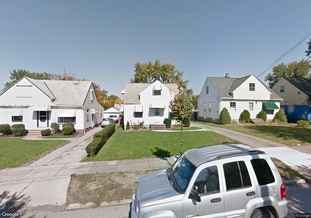
69 Leyton Rd Bedford, OH 44146
Estimated Value: $146,797 - $187,000
4
Beds
2
Baths
1,692
Sq Ft
$100/Sq Ft
Est. Value
About This Home
This home is located at 69 Leyton Rd, Bedford, OH 44146 and is currently estimated at $169,949, approximately $100 per square foot. 69 Leyton Rd is a home located in Cuyahoga County with nearby schools including Heskett Middle School, Bedford High School, and Ohio College Preparatory School.
Ownership History
Date
Name
Owned For
Owner Type
Purchase Details
Closed on
May 18, 2011
Sold by
Pureber William and Luich Deborah
Bought by
Herron Sandra
Current Estimated Value
Home Financials for this Owner
Home Financials are based on the most recent Mortgage that was taken out on this home.
Original Mortgage
$91,424
Outstanding Balance
$62,487
Interest Rate
4.91%
Mortgage Type
VA
Estimated Equity
$107,462
Purchase Details
Closed on
Nov 2, 1981
Sold by
Pureber Edward F and Pureber Grace G
Bought by
Pureber Edward F and Pureber Grace G
Purchase Details
Closed on
Jan 1, 1975
Bought by
Pureber Edward F and Pureber Grace G
Create a Home Valuation Report for This Property
The Home Valuation Report is an in-depth analysis detailing your home's value as well as a comparison with similar homes in the area
Home Values in the Area
Average Home Value in this Area
Purchase History
| Date | Buyer | Sale Price | Title Company |
|---|---|---|---|
| Herron Sandra | $89,500 | City Title Agency | |
| Pureber Edward F | -- | -- | |
| Pureber Edward F | -- | -- |
Source: Public Records
Mortgage History
| Date | Status | Borrower | Loan Amount |
|---|---|---|---|
| Open | Herron Sandra | $91,424 |
Source: Public Records
Tax History
| Year | Tax Paid | Tax Assessment Tax Assessment Total Assessment is a certain percentage of the fair market value that is determined by local assessors to be the total taxable value of land and additions on the property. | Land | Improvement |
|---|---|---|---|---|
| 2024 | $3,271 | $41,370 | $8,995 | $32,375 |
| 2023 | $2,890 | $31,330 | $6,790 | $24,540 |
| 2022 | $2,565 | $31,325 | $6,790 | $24,535 |
| 2021 | $2,489 | $31,330 | $6,790 | $24,540 |
| 2020 | $2,340 | $26,320 | $5,710 | $20,620 |
| 2019 | $2,281 | $75,200 | $16,300 | $58,900 |
| 2018 | $2,234 | $26,320 | $5,710 | $20,620 |
| 2017 | $2,271 | $24,920 | $5,180 | $19,740 |
| 2016 | $2,203 | $24,920 | $5,180 | $19,740 |
| 2015 | $2,200 | $24,920 | $5,180 | $19,740 |
| 2014 | $2,200 | $27,100 | $5,640 | $21,460 |
Source: Public Records
Map
Nearby Homes
- 419 Center Rd
- 131 Noran Cir
- 339 Grand Blvd
- 94 Southwick Dr
- 0 Hubbell Cir
- 93 Southwick Dr
- 54 Hubbell Way
- 66 Hubbell Way
- 58 Hubbell Way
- 62 Hubbell Way
- 54 Willard Ave
- 57 Hubbell Way
- 61 Hubbell Way
- 123 Ellenwood Ave
- 250 Center Rd
- 20648 Donny Brook Rd
- 475 Lamson Ave
- 14 Ennis Ave
- 443 Broadway Ave
- 5571 Oakwood Ave
Your Personal Tour Guide
Ask me questions while you tour the home.