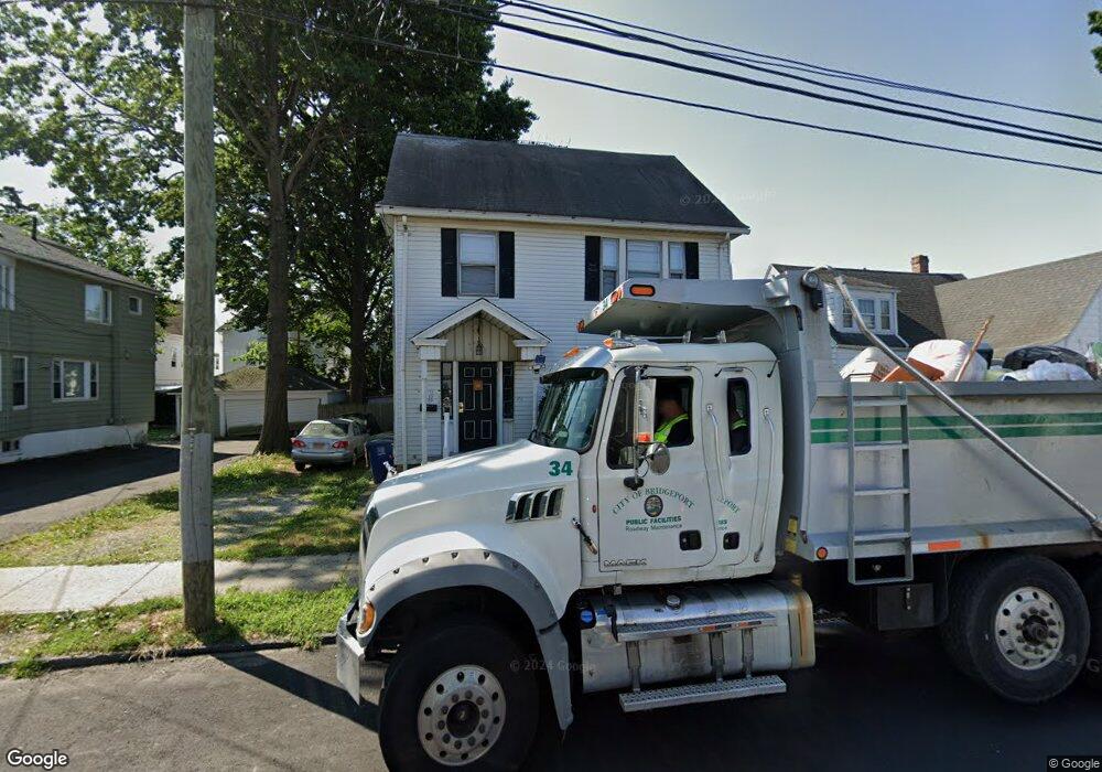
69 Lincoln Ave Unit 2ND F Bridgeport, CT 06606
Brooklawn-Saint Vincent NeighborhoodEstimated Value: $444,226 - $763,000
2
Beds
1
Bath
1,200
Sq Ft
$493/Sq Ft
Est. Value
About This Home
This home is located at 69 Lincoln Ave Unit 2ND F, Bridgeport, CT 06606 and is currently estimated at $591,307, approximately $492 per square foot. 69 Lincoln Ave Unit 2ND F is a home located in Fairfield County with nearby schools including Madison School, Central High School, and Catholic Academy of Bridgeport-St. Raphael Academy.
Ownership History
Date
Name
Owned For
Owner Type
Purchase Details
Closed on
Dec 20, 1999
Sold by
Afonso Manuel G and Goncalves Olinda E
Bought by
Joseph Worrel M
Current Estimated Value
Create a Home Valuation Report for This Property
The Home Valuation Report is an in-depth analysis detailing your home's value as well as a comparison with similar homes in the area
Home Values in the Area
Average Home Value in this Area
Purchase History
| Date | Buyer | Sale Price | Title Company |
|---|---|---|---|
| Joseph Worrel M | $165,000 | -- | |
| Joseph Worrel M | $165,000 | -- |
Source: Public Records
Mortgage History
| Date | Status | Borrower | Loan Amount |
|---|---|---|---|
| Closed | Joseph Worrel M | $50,000 | |
| Open | Joseph Worrel M | $215,000 | |
| Closed | Joseph Worrel M | $186,195 |
Source: Public Records
Tax History Compared to Growth
Tax History
| Year | Tax Paid | Tax Assessment Tax Assessment Total Assessment is a certain percentage of the fair market value that is determined by local assessors to be the total taxable value of land and additions on the property. | Land | Improvement |
|---|---|---|---|---|
| 2025 | $9,175 | $211,170 | $75,780 | $135,390 |
| 2024 | $9,175 | $211,170 | $75,780 | $135,390 |
| 2023 | $9,175 | $211,170 | $75,780 | $135,390 |
| 2022 | $9,175 | $211,170 | $75,780 | $135,390 |
| 2021 | $9,175 | $211,170 | $75,780 | $135,390 |
| 2020 | $8,390 | $155,400 | $42,750 | $112,650 |
| 2019 | $8,390 | $155,400 | $42,750 | $112,650 |
| 2018 | $8,449 | $155,400 | $42,750 | $112,650 |
| 2017 | $8,449 | $155,400 | $42,750 | $112,650 |
| 2016 | $8,449 | $155,400 | $42,750 | $112,650 |
| 2015 | $8,473 | $200,790 | $51,730 | $149,060 |
| 2014 | $8,473 | $200,790 | $51,730 | $149,060 |
Source: Public Records
Map
Nearby Homes
- 724 Capitol Ave Unit 726
- 2395 Main St Unit 2397
- 119 Madison Terrace
- 390 Charles St Unit 106
- 330 French St
- 508 Hawley Ave
- 76 Porter St
- 90 Tom Thumb St
- 106 Manhattan Ave Unit 108
- 31 Taft Ave
- 78 Fairmount Ave
- 123 Harlem Ave
- 936 Lindley St
- 203 Wayne St
- 252 Harlem Ave Unit B6
- 252 Harlem Ave Unit B5
- 241 Sampson St
- 201 High Ridge Dr
- 105 Tremont Ave Unit E
- 105 Tremont Ave Unit B
- 69 Lincoln Ave Unit 71
- 59 Lincoln Ave
- 57 Lincoln Ave Unit 59
- 79 Lincoln Ave
- 87 Lincoln Ave Unit 89
- 41 Lincoln Ave
- 60 Lincoln Ave Unit 1st.
- 60 Lincoln Ave Unit 1FL
- 82 Lincoln Ave Unit 2C
- 82 Lincoln Ave Unit 2B
- 82 Lincoln Ave Unit 2A
- 82 Lincoln Ave Unit 1C
- 82 Lincoln Ave Unit 1B
- 82 Lincoln Ave Unit 1A
- 82 Lincoln Ave Unit BB
- 82 Lincoln Ave Unit BA
- 82 Lincoln Ave Unit 2C
- 95 Lincoln Ave Unit 97
- 70 Lincoln Ave Unit 72
- 37 Lincoln Ave