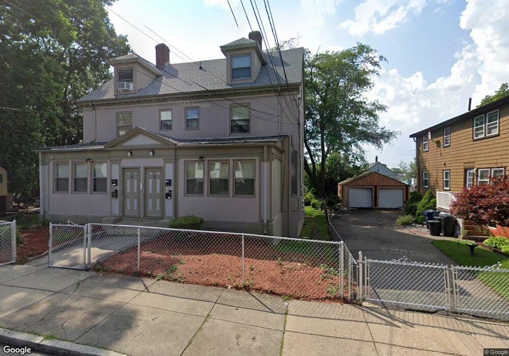
69 Lorna Rd Unit 71 Mattapan, MA 02126
Southern Mattapan NeighborhoodEstimated Value: $689,000 - $1,067,000
8
Beds
3
Baths
4,020
Sq Ft
$232/Sq Ft
Est. Value
About This Home
This home is located at 69 Lorna Rd Unit 71, Mattapan, MA 02126 and is currently estimated at $933,667, approximately $232 per square foot. 69 Lorna Rd Unit 71 is a home located in Suffolk County with nearby schools including KIPP Academy Boston Charter School and Berea Seventh-day Adventist Academy.
Ownership History
Date
Name
Owned For
Owner Type
Purchase Details
Closed on
May 22, 2021
Sold by
Avery David L
Bought by
69-71 Lorna Road Llc
Current Estimated Value
Purchase Details
Closed on
Aug 3, 1995
Sold by
Norfolk Holdings Corp
Bought by
Avery David L
Purchase Details
Closed on
Apr 3, 1995
Sold by
Milord Edwig and Us Trust
Bought by
Norfolk Holdings Corp
Create a Home Valuation Report for This Property
The Home Valuation Report is an in-depth analysis detailing your home's value as well as a comparison with similar homes in the area
Home Values in the Area
Average Home Value in this Area
Purchase History
| Date | Buyer | Sale Price | Title Company |
|---|---|---|---|
| 69-71 Lorna Road Llc | -- | None Available | |
| Avery David L | $96,000 | -- | |
| Norfolk Holdings Corp | $75,000 | -- |
Source: Public Records
Mortgage History
| Date | Status | Borrower | Loan Amount |
|---|---|---|---|
| Previous Owner | Norfolk Holdings Corp | $106,000 | |
| Previous Owner | Norfolk Holdings Corp | $108,850 | |
| Previous Owner | Norfolk Holdings Corp | $106,216 |
Source: Public Records
Tax History Compared to Growth
Tax History
| Year | Tax Paid | Tax Assessment Tax Assessment Total Assessment is a certain percentage of the fair market value that is determined by local assessors to be the total taxable value of land and additions on the property. | Land | Improvement |
|---|---|---|---|---|
| 2025 | $9,576 | $826,900 | $250,000 | $576,900 |
| 2024 | $9,166 | $840,900 | $270,100 | $570,800 |
| 2023 | $8,770 | $816,600 | $262,300 | $554,300 |
| 2022 | $8,457 | $777,300 | $249,700 | $527,600 |
| 2021 | $7,899 | $740,300 | $237,800 | $502,500 |
| 2020 | $6,720 | $636,400 | $189,800 | $446,600 |
| 2019 | $6,097 | $578,500 | $134,500 | $444,000 |
| 2018 | $5,415 | $516,700 | $134,500 | $382,200 |
| 2017 | $5,113 | $482,800 | $134,500 | $348,300 |
| 2016 | $4,964 | $451,300 | $134,500 | $316,800 |
| 2015 | $4,809 | $397,100 | $123,400 | $273,700 |
| 2014 | $4,461 | $354,600 | $123,400 | $231,200 |
Source: Public Records
Map
Nearby Homes
- 65 Lorna Rd
- 65 Lorna Rd Unit 2
- 59 Lorna Rd Unit 1
- 59 Lorna Rd Unit 61
- 61 Lorna Rd Unit 1
- 59 Lorna Rd
- 61 Lorna Rd
- 59 Lorna Rd Unit 2
- 70 W Selden St
- 70 W Selden St Unit 1
- 66 W Selden St
- 74 W Selden St
- 62 W Selden St Unit 64
- 83 Lorna Rd
- 55 Lorna Rd
- 72 Lorna Rd Unit 74
- 58 W Selden St Unit 60
- 76 W Selden St
- 68 Lorna Rd
- 76 Lorna Rd Unit 78