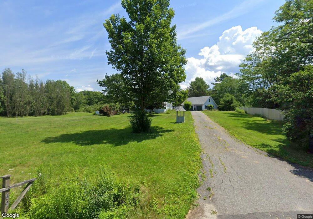
69 Lower Falls Rd Orland, ME 04472
Estimated Value: $394,692 - $729,000
4
Beds
4
Baths
3,104
Sq Ft
$182/Sq Ft
Est. Value
About This Home
This home is located at 69 Lower Falls Rd, Orland, ME 04472 and is currently estimated at $563,423, approximately $181 per square foot. 69 Lower Falls Rd is a home located in Hancock County with nearby schools including G. Herbert Jewett School, Miles Lane School, and Bucksport Middle School.
Ownership History
Date
Name
Owned For
Owner Type
Purchase Details
Closed on
Oct 31, 2025
Sold by
Georgia A Goodwin Ret and Scott
Bought by
Gray Matthew and Gray Elizabeth
Current Estimated Value
Home Financials for this Owner
Home Financials are based on the most recent Mortgage that was taken out on this home.
Original Mortgage
$240,000
Outstanding Balance
$240,000
Interest Rate
6.26%
Mortgage Type
Purchase Money Mortgage
Estimated Equity
$323,423
Create a Home Valuation Report for This Property
The Home Valuation Report is an in-depth analysis detailing your home's value as well as a comparison with similar homes in the area
Home Values in the Area
Average Home Value in this Area
Purchase History
| Date | Buyer | Sale Price | Title Company |
|---|---|---|---|
| Gray Matthew | -- | -- |
Source: Public Records
Mortgage History
| Date | Status | Borrower | Loan Amount |
|---|---|---|---|
| Open | Gray Matthew | $240,000 |
Source: Public Records
Tax History Compared to Growth
Tax History
| Year | Tax Paid | Tax Assessment Tax Assessment Total Assessment is a certain percentage of the fair market value that is determined by local assessors to be the total taxable value of land and additions on the property. | Land | Improvement |
|---|---|---|---|---|
| 2024 | $3,312 | $271,910 | $37,000 | $234,910 |
| 2023 | $3,203 | $271,910 | $37,000 | $234,910 |
| 2022 | $2,688 | $274,840 | $37,000 | $237,840 |
| 2021 | $2,447 | $159,920 | $23,250 | $136,670 |
| 2020 | $2,447 | $159,920 | $23,250 | $136,670 |
| 2019 | $3,605 | $159,920 | $23,250 | $136,670 |
| 2018 | $2,349 | $159,920 | $23,250 | $136,670 |
| 2017 | $2,231 | $159,920 | $23,250 | $136,670 |
| 2016 | $2,191 | $159,920 | $23,250 | $136,670 |
| 2015 | $2,156 | $157,340 | $23,250 | $134,090 |
| 2014 | $2,234 | $157,340 | $23,250 | $134,090 |
| 2013 | $2,234 | $157,340 | $23,250 | $134,090 |
Source: Public Records
Map
Nearby Homes
- 52 State Route 46
- 54 Gross Point Rd
- 12 Mount View Ln
- Lot #11 Russell Hill Rd
- Lot #4 Russell Hill Rd
- Lot #5 Russell Hill Rd
- Lot #2 Russell Hill Rd
- Lot #10 Russell Hill Rd
- Lot #6 Russell Hill Rd
- Lot #7 Russell Hill Rd
- Lot #3 Russell Hill Rd
- Lot #8 Russell Hill Rd
- 53-04 Race Course Rd
- 53-03 Race Course Rd
- 23 Millvale Rd
- 63 Main St
- 2 Marion Ln
- 0 Meadow Brook Ln
- 21 Robin Hood Dr
- 54 Robin Hood Cir
- 79 Lower Falls Rd
- 66 Lower Falls Rd
- 76 Lower Falls Rd
- 90 Lower Falls Rd
- 52 Lower Falls Rd
- 0 Maine 15
- 100 Lower Falls Rd
- 44 Lower Falls Rd
- 104 Lower Falls Rd
- 41 Lower Falls Rd
- 92 Narramissic Dr
- 114 Narramissic Dr
- 32 Lower Falls Rd
- 46 Narramissic Dr
- 40 Gray Meadow Rd
- 36 Narramissic Dr
- 122 Lower Falls Rd
- 9 Parsonage St
- 22 Gray Meadow Rd
- 15 Parsonage St