69 Lower Wirebridge Rd Stephens, GA 30667
Estimated Value: $62,929 - $285,000
--
Bed
--
Bath
--
Sq Ft
--
Built
About This Home
This home is located at 69 Lower Wirebridge Rd, Stephens, GA 30667 and is currently estimated at $173,732. 69 Lower Wirebridge Rd is a home with nearby schools including Oglethorpe County Primary School, Oglethorpe County Elementary School, and Oglethorpe County Middle School.
Create a Home Valuation Report for This Property
The Home Valuation Report is an in-depth analysis detailing your home's value as well as a comparison with similar homes in the area
Tax History
| Year | Tax Paid | Tax Assessment Tax Assessment Total Assessment is a certain percentage of the fair market value that is determined by local assessors to be the total taxable value of land and additions on the property. | Land | Improvement |
|---|---|---|---|---|
| 2025 | $712 | $29,722 | $8,160 | $21,562 |
| 2023 | $158 | $18,956 | $0 | $18,956 |
| 2022 | $152 | $20,200 | $0 | $20,200 |
| 2021 | $165 | $16,944 | $0 | $16,944 |
| 2020 | $126 | $18,651 | $0 | $18,651 |
| 2019 | $314 | $10,880 | $3,640 | $7,240 |
| 2017 | $888 | $29,424 | $3,145 | $26,279 |
Source: Public Records
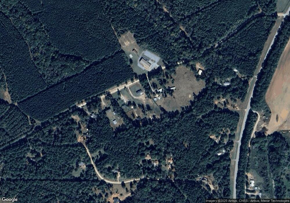
Map
Nearby Homes
- 181 Lower Wirebridge Rd
- 0 Lower Wirebridge Rd
- 290 Poplar Creek Rd
- 1774 Union Point Rd
- 0 Lovers Ln Unit 10690740
- 0 Lovers Ln Unit CL349036
- 0 Bull Bray Rd
- 1500 Churchwell Rd
- 0 Crawfordville Rd Unit 10674081
- 0 Crawfordville Rd Unit CL346865
- 0 Faust Farm Rd
- 0 Crawfordville Rd Unit 26194777
- 0 Crawfordville Rd Unit 26541703
- 400 Salem Church Rd
- 1640 Wire Bridge Rd
- 1000 Nichols Rd
- 30 Soggy Bottom Rd
- 119 Ralph Bridges Rd
- 60 Tribble Bottoms Rd
- 0 Black Snake Rd
- 69 Lower Wire Bridge Rd
- 75 Lower Wire Bridge Rd
- 61 Lower Wire Bridge Rd
- 55 Lower Wirebridge Rd
- 93 Lower Wirebridge Rd
- 78 Wirebridge Cutoff Rd
- 74 Wirebridge Cutoff Rd
- 43 Lower Wire Bridge Rd
- 43 Lower Wirebridge Rd
- 56 Wirebridge Cutoff Rd
- 2112 Union Point Rd
- 113 Lower Wirebridge Rd
- 75 Wirebridge Cutoff Rd
- Lot 14 Wirebridge Cutoff Rd
- 2084 Union Point Rd
- 2084 Union Point Rd
- 55 Wirebridge Cutoff Rd
- 63 Wirebridge Cutoff Rd
- 97 Wirebridge Cutoff Rd
- 18 Wirebridge Cutoff Rd
Your Personal Tour Guide
Ask me questions while you tour the home.