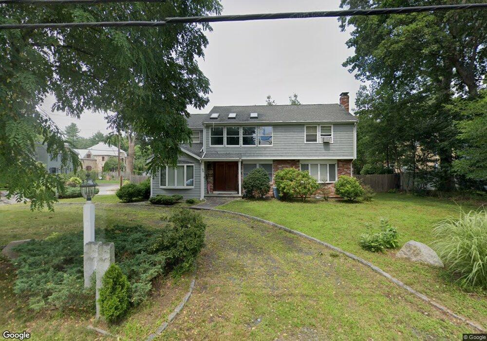
69 Manor Ave Wellesley, MA 02482
Estimated Value: $1,888,000 - $1,999,000
4
Beds
4
Baths
4,000
Sq Ft
$487/Sq Ft
Est. Value
About This Home
This home is located at 69 Manor Ave, Wellesley, MA 02482 and is currently estimated at $1,947,873, approximately $486 per square foot. 69 Manor Ave is a home located in Norfolk County with nearby schools including John D. Hardy Elementary School, Wellesley Middle School, and Wellesley Sr High School.
Ownership History
Date
Name
Owned For
Owner Type
Purchase Details
Closed on
Nov 19, 2024
Sold by
Peng Gang and Ji Zhaopeng
Bought by
G Peng & Zhaopeng Ji Lt and Peng
Current Estimated Value
Purchase Details
Closed on
May 21, 2010
Sold by
Purnell Donald F and Purnell Cheryl L
Bought by
Peng Gang and Ji Zhaopeng
Home Financials for this Owner
Home Financials are based on the most recent Mortgage that was taken out on this home.
Original Mortgage
$620,000
Interest Rate
5.23%
Mortgage Type
Purchase Money Mortgage
Create a Home Valuation Report for This Property
The Home Valuation Report is an in-depth analysis detailing your home's value as well as a comparison with similar homes in the area
Purchase History
| Date | Buyer | Sale Price | Title Company |
|---|---|---|---|
| G Peng & Zhaopeng Ji Lt | -- | None Available | |
| G Peng & Zhaopeng Ji Lt | -- | None Available | |
| Peng Gang | $776,000 | -- | |
| Peng Gang | $776,000 | -- |
Source: Public Records
Mortgage History
| Date | Status | Borrower | Loan Amount |
|---|---|---|---|
| Previous Owner | Peng Gang | $617,800 | |
| Previous Owner | Peng Gang | $620,000 | |
| Previous Owner | Peng Gang | $250,000 |
Source: Public Records
Tax History
| Year | Tax Paid | Tax Assessment Tax Assessment Total Assessment is a certain percentage of the fair market value that is determined by local assessors to be the total taxable value of land and additions on the property. | Land | Improvement |
|---|---|---|---|---|
| 2025 | $14,248 | $1,386,000 | $1,080,000 | $306,000 |
| 2024 | $13,242 | $1,272,000 | $977,000 | $295,000 |
| 2023 | $12,732 | $1,112,000 | $874,000 | $238,000 |
| 2022 | $11,902 | $1,019,000 | $681,000 | $338,000 |
| 2021 | $11,973 | $1,019,000 | $681,000 | $338,000 |
| 2020 | $11,780 | $1,019,000 | $681,000 | $338,000 |
| 2019 | $11,790 | $1,019,000 | $681,000 | $338,000 |
| 2018 | $11,687 | $978,000 | $618,000 | $360,000 |
| 2017 | $11,531 | $978,000 | $618,000 | $360,000 |
| 2016 | $11,333 | $958,000 | $607,000 | $351,000 |
| 2015 | $10,728 | $928,000 | $577,000 | $351,000 |
Source: Public Records
Map
Nearby Homes
- 67 Manor Ave
- 20 Pinevale Ave
- 75 Manor Ave
- 102 Evergreen Ave
- 70 Manor Ave
- 16 Pinevale Ave
- 1 Evergreen Ave
- 76 Manor Ave
- 79 Manor Ave
- 79 Manor Ave Unit 79
- 1 Marigold Ave
- 61 Manor Ave
- 1 Pinevale Ave
- 7 Evergreen Ave
- 30 Evergreen Ave
- 12 Pinevale Ave
- 60 Manor Ave
- 2 Marigold Ave
- 25 Evergreen Ave
- 59 Manor Ave
Your Personal Tour Guide
Ask me questions while you tour the home.