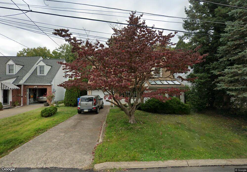
69 Manor Cir Bristol, PA 19007
Estimated Value: $248,000 - $402,000
--
Bed
2
Baths
1,678
Sq Ft
$197/Sq Ft
Est. Value
About This Home
This home is located at 69 Manor Cir, Bristol, PA 19007 and is currently estimated at $331,059, approximately $197 per square foot. 69 Manor Cir is a home located in Bucks County with nearby schools including Truman Senior High School, First Presbyterian Church School, and St. Mark Elementary School.
Ownership History
Date
Name
Owned For
Owner Type
Purchase Details
Closed on
Dec 31, 1996
Sold by
Barrett Larry C
Bought by
Kelly William D and Kelly Betsy R
Current Estimated Value
Home Financials for this Owner
Home Financials are based on the most recent Mortgage that was taken out on this home.
Original Mortgage
$96,000
Outstanding Balance
$10,172
Interest Rate
7.48%
Estimated Equity
$320,887
Purchase Details
Closed on
Mar 6, 1973
Bought by
Barrett Larry C
Create a Home Valuation Report for This Property
The Home Valuation Report is an in-depth analysis detailing your home's value as well as a comparison with similar homes in the area
Home Values in the Area
Average Home Value in this Area
Purchase History
| Date | Buyer | Sale Price | Title Company |
|---|---|---|---|
| Kelly William D | $120,000 | -- | |
| Barrett Larry C | -- | -- |
Source: Public Records
Mortgage History
| Date | Status | Borrower | Loan Amount |
|---|---|---|---|
| Open | Kelly William D | $96,000 |
Source: Public Records
Tax History Compared to Growth
Tax History
| Year | Tax Paid | Tax Assessment Tax Assessment Total Assessment is a certain percentage of the fair market value that is determined by local assessors to be the total taxable value of land and additions on the property. | Land | Improvement |
|---|---|---|---|---|
| 2025 | $4,454 | $16,400 | $2,760 | $13,640 |
| 2024 | $4,454 | $16,400 | $2,760 | $13,640 |
| 2023 | $4,421 | $16,400 | $2,760 | $13,640 |
| 2022 | $4,421 | $16,400 | $2,760 | $13,640 |
| 2021 | $4,421 | $16,400 | $2,760 | $13,640 |
| 2020 | $4,421 | $16,400 | $2,760 | $13,640 |
| 2019 | $4,405 | $16,400 | $2,760 | $13,640 |
| 2018 | $4,334 | $16,400 | $2,760 | $13,640 |
| 2017 | $4,268 | $16,400 | $2,760 | $13,640 |
| 2016 | $4,268 | $16,400 | $2,760 | $13,640 |
| 2015 | $3,036 | $16,400 | $2,760 | $13,640 |
| 2014 | $3,036 | $16,400 | $2,760 | $13,640 |
Source: Public Records
Map
Nearby Homes
- 6419 Radcliffe St
- 314 Railroad Ave
- 6220 N Radcliffe St
- 321 Taft St
- 2218 Trenton Ave
- 253 Roosevelt St
- 257 Cleveland St
- 221 Cleveland St
- 2285 Seabird Dr Unit 14
- 232 Hayes St
- 1211 Seabird Dr Unit 40
- 16442 River View Cir
- 16434 River View Cir
- 16444 River View Cir
- 16352 River View Cir
- 16422 River View Cir
- 16223 River View Cir
- 16333 River View Cir
- 16221 River View Cir
- 16231 River View Cir