69 Mayo Mountain Rd Dahlonega, GA 30533
Estimated Value: $81,023 - $298,000
--
Bed
--
Bath
--
Sq Ft
1
Acres
About This Home
This home is located at 69 Mayo Mountain Rd, Dahlonega, GA 30533 and is currently estimated at $200,506. 69 Mayo Mountain Rd is a home located in Lumpkin County with nearby schools including Lumpkin County High School.
Ownership History
Date
Name
Owned For
Owner Type
Purchase Details
Closed on
Jul 21, 2009
Sold by
Citifinancial Services Inc
Bought by
Seabolt Rachel and Seabolt Brian
Current Estimated Value
Purchase Details
Closed on
May 5, 2009
Sold by
Citifinancial Svcs Inc
Bought by
Citifinancial Svcs Inc
Purchase Details
Closed on
Apr 30, 2003
Sold by
Express Mortgage Service Inc
Bought by
Howard Joseph and Howard Teressa
Purchase Details
Closed on
Dec 31, 2001
Sold by
Howard Tressa
Bought by
Express Mortgage Service Inc
Purchase Details
Closed on
Jan 5, 1993
Sold by
Mayo Luther Jess
Bought by
Howard Tressa
Purchase Details
Closed on
Mar 1, 1987
Sold by
Mayo Luther Jess
Bought by
Mayo Luther Jess
Purchase Details
Closed on
Sep 1, 1980
Bought by
Mayo Luther Jess
Create a Home Valuation Report for This Property
The Home Valuation Report is an in-depth analysis detailing your home's value as well as a comparison with similar homes in the area
Home Values in the Area
Average Home Value in this Area
Purchase History
| Date | Buyer | Sale Price | Title Company |
|---|---|---|---|
| Seabolt Rachel | $15,000 | -- | |
| Citifinancial Svcs Inc | $20,763 | -- | |
| Howard Joseph | $32,000 | -- | |
| Express Mortgage Service Inc | -- | -- | |
| Howard Tressa | -- | -- | |
| Mayo Luther Jess | -- | -- | |
| Mayo Luther Jess | -- | -- |
Source: Public Records
Tax History Compared to Growth
Tax History
| Year | Tax Paid | Tax Assessment Tax Assessment Total Assessment is a certain percentage of the fair market value that is determined by local assessors to be the total taxable value of land and additions on the property. | Land | Improvement |
|---|---|---|---|---|
| 2024 | $218 | $9,052 | $7,452 | $1,600 |
| 2023 | $213 | $9,052 | $7,452 | $1,600 |
| 2022 | $193 | $7,810 | $6,210 | $1,600 |
| 2021 | $200 | $7,810 | $6,210 | $1,600 |
| 2020 | $199 | $7,551 | $5,951 | $1,600 |
| 2019 | $201 | $7,551 | $5,951 | $1,600 |
| 2018 | $214 | $7,551 | $5,951 | $1,600 |
| 2017 | $218 | $7,551 | $5,951 | $1,600 |
| 2016 | $226 | $7,551 | $5,951 | $1,600 |
| 2015 | $199 | $7,551 | $5,951 | $1,600 |
| 2014 | $199 | $7,551 | $5,951 | $1,600 |
| 2013 | -- | $2,998 | $5,950 | $1,835 |
Source: Public Records
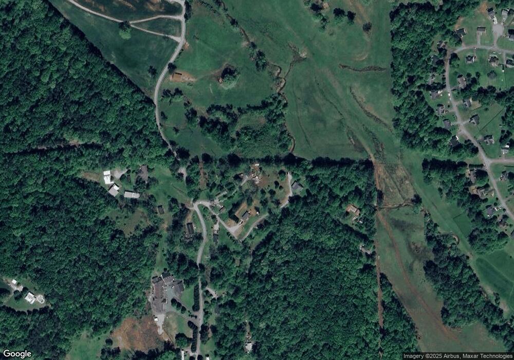
Map
Nearby Homes
- 239 Glenn Elliott Rd
- LOT 1 the Overlook at Crown Mountain
- Tr 3 Glenn Elliot Rd
- 26 Dowdy Ct
- 1879 Camp Wahsega Rd
- 81 Anderson Dr
- 955 Camp Wahsega Rd
- 70 Avery Trail
- 22 Deer Ridge Rd
- 96 Elbert Gaddis Rd
- 98 Elbert Gaddis Rd
- 357 Camp Wahsega Rd
- 64 Hickory Ln
- 931 Homer Edwards Rd
- 0 Camp Wahsega Rd Unit 7600956
- 0 Camp Wahsega Rd Unit 10547292
- 0 Woodland Ln Unit 10570991
- 7B Strada Valdichiana
- 100 Sanders Blvd
- 120 Sanders Blvd
- 53 Mayo Mountain Rd
- 65 Copperhead Rd
- 16 Mayo Mountain Rd
- 43 Copperhead Rd
- 91 Copperhead Rd
- 0 Copper Ridge Subdivision Unit 30
- 0 Coopers Gap Rd
- 0 Cooper Gap Rd
- 0 Coopers Gap Rd Unit 10363824
- 0 Coopers Gap Rd Unit 10477248
- 0 Coopers Gap Rd Unit 10192237
- 0 Copper Ridge Subdivision Unit 30 7463986
- 0 Cooper Gap Rd Unit 8585165
- 0 Cooper Gap Rd Unit 3130265
- 0 Coopers Gap Rd Unit 8898775
- 0 Coopers Gap Rd Unit 8724952
- 0 Coopers Gap Rd Unit 8783868
- 0 Coopers Gap Rd Unit 8866623
- 1509 Wash Rider Rd
- 1485 Wash Rider Rd