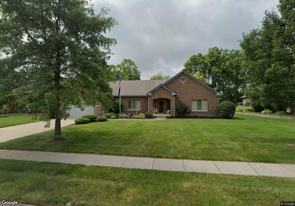
69 Meadow Ln Whiteland, IN 46184
Estimated Value: $417,000 - $452,000
2
Beds
3
Baths
2,222
Sq Ft
$196/Sq Ft
Est. Value
About This Home
This home is located at 69 Meadow Ln, Whiteland, IN 46184 and is currently estimated at $434,901, approximately $195 per square foot. 69 Meadow Ln is a home located in Johnson County with nearby schools including Whiteland Elementary School, Clark-Pleasant Middle School, and Whiteland Community High School.
Ownership History
Date
Name
Owned For
Owner Type
Purchase Details
Closed on
Nov 22, 2012
Sold by
Burton Charles W and Burton Valborge E
Bought by
Burton Charles W and Burton Valborg E
Current Estimated Value
Purchase Details
Closed on
Sep 29, 2006
Sold by
L R Green Development Corp
Bought by
Burton Charles W and Burton Valborg E
Create a Home Valuation Report for This Property
The Home Valuation Report is an in-depth analysis detailing your home's value as well as a comparison with similar homes in the area
Home Values in the Area
Average Home Value in this Area
Purchase History
| Date | Buyer | Sale Price | Title Company |
|---|---|---|---|
| Burton Charles W | -- | None Available | |
| Burton Charles W | -- | None Available |
Source: Public Records
Tax History Compared to Growth
Tax History
| Year | Tax Paid | Tax Assessment Tax Assessment Total Assessment is a certain percentage of the fair market value that is determined by local assessors to be the total taxable value of land and additions on the property. | Land | Improvement |
|---|---|---|---|---|
| 2025 | $3,917 | $474,300 | $42,000 | $432,300 |
| 2024 | $3,917 | $373,600 | $42,000 | $331,600 |
| 2023 | $3,944 | $377,500 | $42,000 | $335,500 |
| 2022 | $3,896 | $373,300 | $42,000 | $331,300 |
| 2021 | $3,378 | $322,600 | $42,000 | $280,600 |
| 2020 | $3,204 | $304,000 | $42,000 | $262,000 |
| 2019 | $3,001 | $284,900 | $42,000 | $242,900 |
| 2018 | $2,827 | $275,500 | $38,800 | $236,700 |
| 2017 | $2,764 | $275,400 | $38,800 | $236,600 |
| 2016 | $2,806 | $280,600 | $38,800 | $241,800 |
| 2014 | $2,525 | $252,500 | $49,800 | $202,700 |
| 2013 | $2,525 | $254,700 | $49,800 | $204,900 |
Source: Public Records
Map
Nearby Homes
- 661 Woodview Dr
- 83 Palmetto Dr
- 372 Wert Ln
- 272 Mcnair Rd
- 288 Mcnair Rd
- 254 Halldale Dr
- 8 Marys Ct
- 4810 N Centerline Rd
- 241 Deborah Ln
- 70 Blue Lace Dr
- 62 Wild Turkey Run
- 110 Mission Terrace Dr
- 338 Mcnair Rd
- 800 Beechwood Ct
- 818 Beechwood Ct
- 1139 Beechwood Ct
- 836 Beechwood Ct
- 1047 Beechwood Ct
- 807 Beechwood Ct
- 752 Beechwood Ct