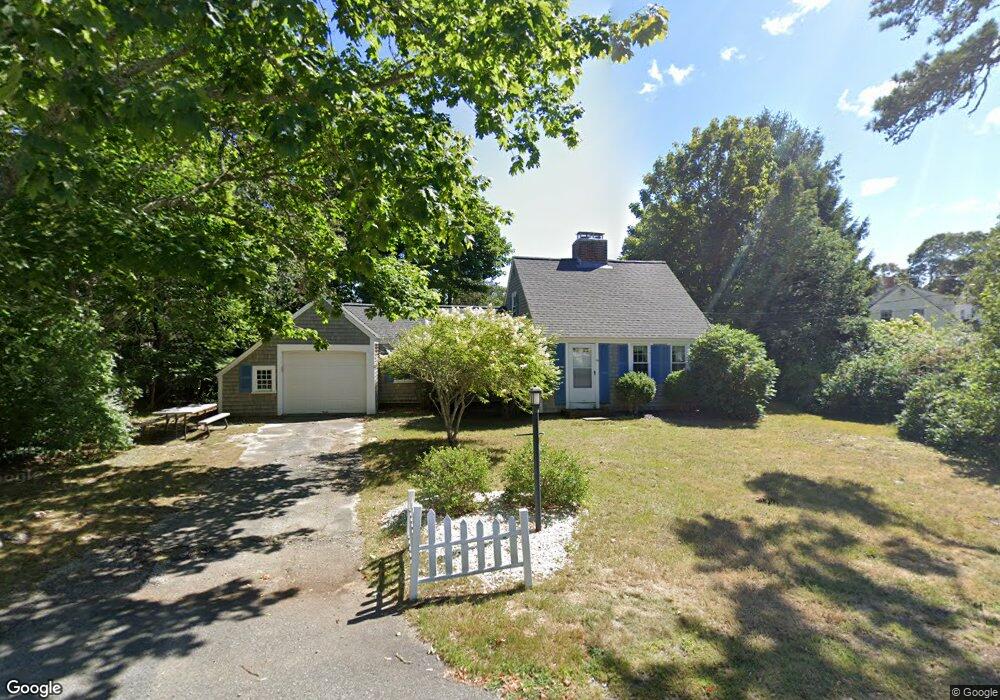
69 Miles St Harwich Port, MA 02646
Harwich Port NeighborhoodEstimated Value: $847,000 - $1,169,000
3
Beds
1
Bath
1,449
Sq Ft
$653/Sq Ft
Est. Value
About This Home
This home is located at 69 Miles St, Harwich Port, MA 02646 and is currently estimated at $946,303, approximately $653 per square foot. 69 Miles St is a home located in Barnstable County with nearby schools including Harwich Elementary School, Chatham Elementary School, and Monomoy Regional Middle School.
Create a Home Valuation Report for This Property
The Home Valuation Report is an in-depth analysis detailing your home's value as well as a comparison with similar homes in the area
Home Values in the Area
Average Home Value in this Area
Tax History Compared to Growth
Tax History
| Year | Tax Paid | Tax Assessment Tax Assessment Total Assessment is a certain percentage of the fair market value that is determined by local assessors to be the total taxable value of land and additions on the property. | Land | Improvement |
|---|---|---|---|---|
| 2025 | $3,828 | $647,700 | $424,000 | $223,700 |
| 2024 | $3,711 | $615,500 | $400,000 | $215,500 |
| 2023 | $3,653 | $550,100 | $363,600 | $186,500 |
| 2022 | $3,736 | $460,700 | $316,200 | $144,500 |
| 2021 | $3,603 | $418,900 | $287,500 | $131,400 |
| 2020 | $3,462 | $396,600 | $267,500 | $129,100 |
| 2019 | $3,307 | $381,400 | $254,200 | $127,200 |
| 2018 | $3,206 | $353,700 | $231,100 | $122,600 |
| 2017 | $3,018 | $336,400 | $215,200 | $121,200 |
| 2016 | $3,009 | $331,800 | $215,200 | $116,600 |
| 2015 | $2,926 | $326,200 | $211,000 | $115,200 |
| 2014 | $2,793 | $318,500 | $204,700 | $113,800 |
Source: Public Records
Map
Nearby Homes
- 15 Pleasant St Unit W24
- 515 Route 28
- 515 Massachusetts 28
- 9 Jason Ln
- 53 Freeman St
- 23 Zylpha Rd
- 405 Lower County Rd Unit 21
- 405 Lower County Rd Unit 23
- 8 Wyndemere Bluffs Rd
- 135 Sisson Rd
- 292 Massachusetts 28 Unit 1
- 292 Massachusetts 28 Unit 7
- 15 Shannon Rd
- 303 Bank St
- 297 Massachusetts 28
- 297 Massachusetts 28 Unit 1
- 16 Mirasol Ln
- 18 Old Campground
- 12 Old Campground Rd
- 116 Parallel St