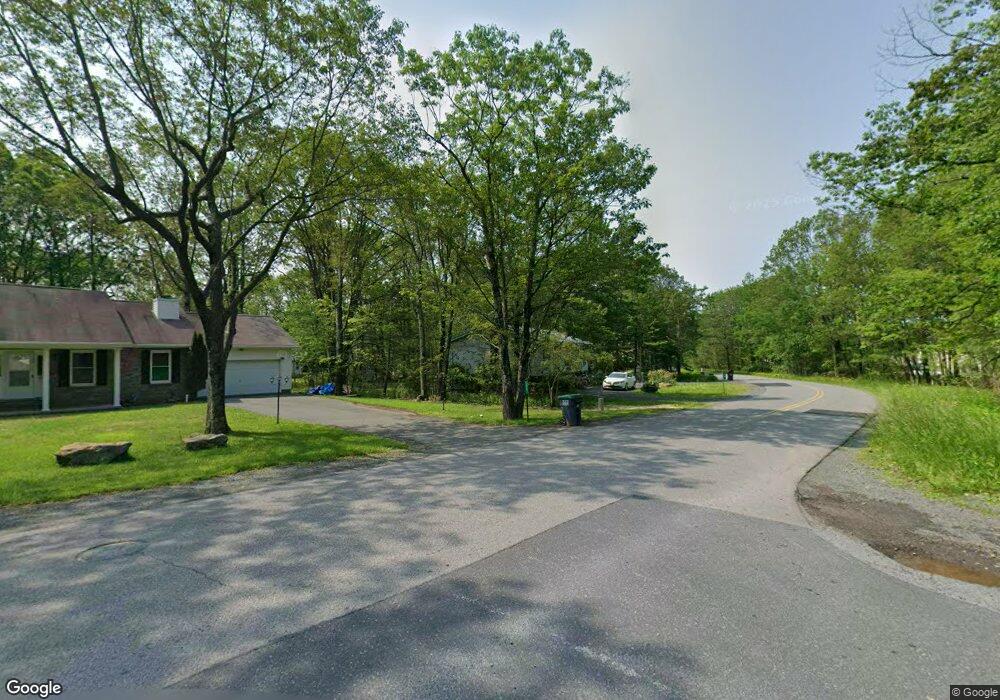
69 Mountain Dr Mount Pocono, PA 18344
Estimated Value: $276,636 - $323,000
3
Beds
2
Baths
1,472
Sq Ft
$203/Sq Ft
Est. Value
About This Home
This home is located at 69 Mountain Dr, Mount Pocono, PA 18344 and is currently estimated at $298,659, approximately $202 per square foot. 69 Mountain Dr is a home located in Monroe County with nearby schools including Swiftwater Interm School, Swiftwater Elementary Center, and Pocono Mountain East Junior High School.
Ownership History
Date
Name
Owned For
Owner Type
Purchase Details
Closed on
Jul 30, 2007
Sold by
Ford Marilyn
Bought by
Webster Wendy A
Current Estimated Value
Home Financials for this Owner
Home Financials are based on the most recent Mortgage that was taken out on this home.
Original Mortgage
$106,000
Outstanding Balance
$67,319
Interest Rate
6.72%
Mortgage Type
New Conventional
Estimated Equity
$231,340
Purchase Details
Closed on
Mar 31, 2006
Sold by
Macqueen Eugene and Macqueen Margaret
Bought by
Ford Marilyn
Create a Home Valuation Report for This Property
The Home Valuation Report is an in-depth analysis detailing your home's value as well as a comparison with similar homes in the area
Home Values in the Area
Average Home Value in this Area
Purchase History
| Date | Buyer | Sale Price | Title Company |
|---|---|---|---|
| Webster Wendy A | $200,000 | Apex Abstract | |
| Ford Marilyn | $204,900 | Apex Abstract |
Source: Public Records
Mortgage History
| Date | Status | Borrower | Loan Amount |
|---|---|---|---|
| Open | Webster Wendy A | $106,000 |
Source: Public Records
Tax History Compared to Growth
Tax History
| Year | Tax Paid | Tax Assessment Tax Assessment Total Assessment is a certain percentage of the fair market value that is determined by local assessors to be the total taxable value of land and additions on the property. | Land | Improvement |
|---|---|---|---|---|
| 2025 | $1,190 | $119,530 | $23,100 | $96,430 |
| 2024 | $996 | $119,530 | $23,100 | $96,430 |
| 2023 | $3,189 | $119,530 | $23,100 | $96,430 |
| 2022 | $3,132 | $119,530 | $23,100 | $96,430 |
| 2021 | $3,132 | $119,530 | $23,100 | $96,430 |
| 2020 | $21,061 | $119,530 | $23,100 | $96,430 |
| 2019 | $4,628 | $27,020 | $5,250 | $21,770 |
| 2018 | $4,628 | $27,020 | $5,250 | $21,770 |
| 2017 | $4,682 | $27,020 | $5,250 | $21,770 |
| 2016 | $1,000 | $27,020 | $5,250 | $21,770 |
| 2015 | $3,417 | $27,020 | $5,250 | $21,770 |
| 2014 | $3,417 | $27,020 | $5,250 | $21,770 |
Source: Public Records
Map
Nearby Homes
- 47 Mountain Dr
- 0 Unit PM-130385
- 9 Cobblewood Dr
- 35 Deerfield Dr
- 1249 Lexington Ave
- 6 Summit Dr
- 146 Foxfire Dr Unit 201
- 2102 Woodland Ct
- 115 Foxfire Dr Unit 306
- Lots 13-18 Park Ave 13 Ave
- 216 Sutton Place
- 0 Park Ave 38 Ave
- 306 Foxfire Dr
- 5160 Hummingbird Dr
- 0 T640
- 5273 Holiday Dr
- 32 & 28 Central Park 32 & 28
- 3230 Red Run Rd
- 93 Center Ave
- 471 Alter Ave
- 67 Mountain Dr
- 71 Mountain Dr
- 17 Stacey Ln
- 15 Stacey Ln
- 65 Mountain Dr
- 73 Mountain Dr
- 13 Stacey Ln
- 19 Stacey Ln
- 19 Stacey Ln
- 75 Mountain Dr
- 11 Stacey Ln Unit P12
- 63 Mountain Dr
- 10 Stacey Ln
- 15 Pointe St Unit 1st Floor
- 15 Pointe St Unit 1st Fl Rear
- 15 Pointe St
- 9 Stacey Ln
- 12 Stacey Ln
- 61 Mountain Dr
- 13 Pointe St