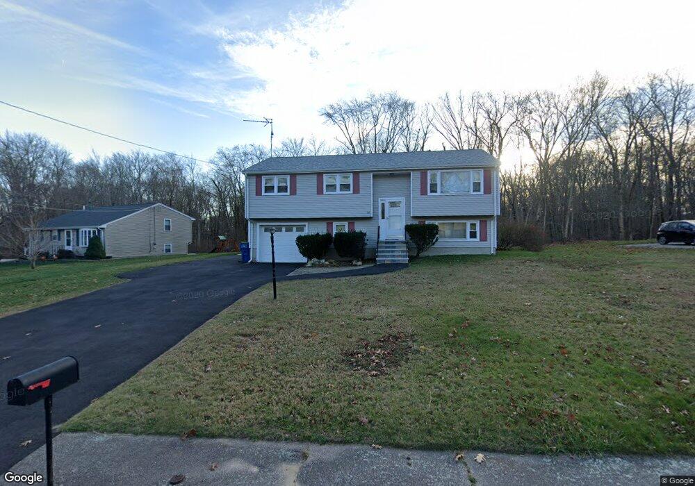
69 N Glenway Ave Randolph, MA 02368
South Randolph NeighborhoodEstimated Value: $541,979 - $632,000
4
Beds
2
Baths
1,132
Sq Ft
$510/Sq Ft
Est. Value
About This Home
This home is located at 69 N Glenway Ave, Randolph, MA 02368 and is currently estimated at $577,245, approximately $509 per square foot. 69 N Glenway Ave is a home located in Norfolk County with nearby schools including Randolph High School, Boston Higashi School, and Lighthouse Baptist Christian Academy.
Ownership History
Date
Name
Owned For
Owner Type
Purchase Details
Closed on
Mar 13, 2024
Sold by
Hayes David
Bought by
Hayes Ft and Hayes
Current Estimated Value
Purchase Details
Closed on
Sep 13, 1994
Sold by
Seto Wing W
Bought by
Hayes David
Home Financials for this Owner
Home Financials are based on the most recent Mortgage that was taken out on this home.
Original Mortgage
$108,055
Interest Rate
8.54%
Mortgage Type
Purchase Money Mortgage
Purchase Details
Closed on
Feb 29, 1988
Sold by
Gretsky Barry R
Bought by
Seto Wing W
Create a Home Valuation Report for This Property
The Home Valuation Report is an in-depth analysis detailing your home's value as well as a comparison with similar homes in the area
Home Values in the Area
Average Home Value in this Area
Purchase History
| Date | Buyer | Sale Price | Title Company |
|---|---|---|---|
| Hayes Ft | -- | None Available | |
| Hayes David | $113,900 | -- | |
| Hayes David | $113,900 | -- | |
| Seto Wing W | $162,250 | -- |
Source: Public Records
Mortgage History
| Date | Status | Borrower | Loan Amount |
|---|---|---|---|
| Previous Owner | Seto Wing W | $217,000 | |
| Previous Owner | Seto Wing W | $10,000 | |
| Previous Owner | Seto Wing W | $108,055 |
Source: Public Records
Tax History Compared to Growth
Tax History
| Year | Tax Paid | Tax Assessment Tax Assessment Total Assessment is a certain percentage of the fair market value that is determined by local assessors to be the total taxable value of land and additions on the property. | Land | Improvement |
|---|---|---|---|---|
| 2025 | $6,108 | $526,100 | $241,800 | $284,300 |
| 2024 | $5,975 | $521,800 | $237,100 | $284,700 |
| 2023 | $5,682 | $470,400 | $215,500 | $254,900 |
| 2022 | $5,488 | $403,500 | $179,500 | $224,000 |
| 2021 | $5,265 | $356,200 | $149,700 | $206,500 |
| 2020 | $5,286 | $354,500 | $149,700 | $204,800 |
| 2019 | $5,201 | $347,200 | $142,400 | $204,800 |
| 2018 | $5,009 | $315,400 | $132,100 | $183,300 |
| 2017 | $4,702 | $290,600 | $125,700 | $164,900 |
| 2015 | $4,485 | $247,800 | $108,800 | $139,000 |
Source: Public Records
Map
Nearby Homes
- 65 N Glenway Ave
- 68 N Glenway Ave
- 72 N Glenway Ave
- 61 N Glenway Ave
- 77 N Glenway Ave
- 76 N Glenway Ave
- 62 N Glenway Ave
- 32 Katy Cir
- 57 N Glenway Ave
- 65 Druid Hill Ave E
- 61 Druid Hill Ave E
- 58 N Glenway Ave
- 58 N Glenway Ave Unit 1
- 30 Katy Cir
- 23 Katy Cir
- 57 Druid Hill Ave E
- 53 N Glenway Ave
- 51 N Glenway Ave
- 20 N Richwood Ave
- 73 Druid Hill Ave E