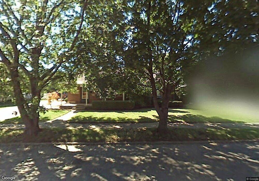
69 N Wright Ave Fairborn, OH 45324
Estimated Value: $170,353 - $194,000
3
Beds
2
Baths
1,176
Sq Ft
$155/Sq Ft
Est. Value
About This Home
This home is located at 69 N Wright Ave, Fairborn, OH 45324 and is currently estimated at $182,838, approximately $155 per square foot. 69 N Wright Ave is a home located in Greene County with nearby schools including Fairborn Primary School, Fairborn Intermediate School, and Fairborn Middle School.
Ownership History
Date
Name
Owned For
Owner Type
Purchase Details
Closed on
Jul 2, 2020
Sold by
Derussy Jake A
Bought by
Stubbles Alexander
Current Estimated Value
Purchase Details
Closed on
Nov 13, 2014
Sold by
Burns James D and Faulkner Betsy A
Bought by
Derussy Jake A
Home Financials for this Owner
Home Financials are based on the most recent Mortgage that was taken out on this home.
Original Mortgage
$111,836
Interest Rate
4.1%
Mortgage Type
FHA
Purchase Details
Closed on
Jul 23, 1992
Bought by
Burns James D and Burns Burns
Create a Home Valuation Report for This Property
The Home Valuation Report is an in-depth analysis detailing your home's value as well as a comparison with similar homes in the area
Home Values in the Area
Average Home Value in this Area
Purchase History
| Date | Buyer | Sale Price | Title Company |
|---|---|---|---|
| Stubbles Alexander | $122,000 | None Available | |
| Derussy Jake A | $113,900 | Chicago Title Co Llc | |
| Burns James D | $70,000 | -- |
Source: Public Records
Mortgage History
| Date | Status | Borrower | Loan Amount |
|---|---|---|---|
| Previous Owner | Derussy Jake A | $111,836 |
Source: Public Records
Tax History
| Year | Tax Paid | Tax Assessment Tax Assessment Total Assessment is a certain percentage of the fair market value that is determined by local assessors to be the total taxable value of land and additions on the property. | Land | Improvement |
|---|---|---|---|---|
| 2025 | $2,017 | $41,820 | $5,570 | $36,250 |
| 2024 | $2,017 | $41,820 | $5,570 | $36,250 |
| 2023 | $2,003 | $41,820 | $5,570 | $36,250 |
| 2022 | $1,984 | $34,880 | $3,710 | $31,170 |
| 2021 | $2,014 | $34,660 | $3,710 | $30,950 |
| 2020 | $2,011 | $34,660 | $3,710 | $30,950 |
| 2019 | $1,755 | $30,280 | $4,450 | $25,830 |
| 2018 | $1,774 | $30,280 | $4,450 | $25,830 |
| 2017 | $1,769 | $30,280 | $4,450 | $25,830 |
| 2016 | $1,770 | $30,200 | $4,450 | $25,750 |
| 2015 | $1,688 | $30,200 | $4,450 | $25,750 |
| 2014 | $1,633 | $30,200 | $4,450 | $25,750 |
Source: Public Records
Map
Nearby Homes
- 226-230 N Broad St
- 112 E Xenia Dr
- 315 W Dayton Dr
- 112 Mann Ave
- 34 Greene St
- 504 Greene St
- 308 E Xenia Dr
- 323 Mann Ave
- 261 Archer Dr
- 711 N Central Ave
- 303 E Whittier Ave
- 313 Archer Dr
- 621 June Dr
- 801-803 Winston Dr
- 388-390 Morris Dr Unit 388
- 000 Morris Dr
- 15 Diana Ln N
- 827 Mitman Dr
- 139 Hower Ln
- 153 Diana Ln N
- 75 N Wright Ave
- 59 N Wright Ave
- 211 Middle St
- 215 Middle St
- 83 N Wright Ave
- 210 Middle St
- 104 Miller Ave
- 214 Middle St
- 114 Miller Ave
- 64 N Wright Ave
- 58 N Wright Ave
- 72 N Wright Ave
- 50 N Wright Ave
- 44 Miller Ave
- 39 N Wright Ave
- 85 N Wright Ave
- 116 Miller Ave Unit 118
- 116 Miller Ave
- 36 Miller Ave
- 44 N Wright Ave
Your Personal Tour Guide
Ask me questions while you tour the home.