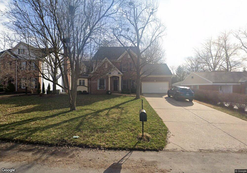
69 Notre Dame Dr Saint Louis, MO 63141
Estimated Value: $802,000 - $1,020,000
3
Beds
3
Baths
3,283
Sq Ft
$285/Sq Ft
Est. Value
About This Home
This home is located at 69 Notre Dame Dr, Saint Louis, MO 63141 and is currently estimated at $935,779, approximately $285 per square foot. 69 Notre Dame Dr is a home located in St. Louis County with nearby schools including Ladue 5th Grade Center, Spoede Elementary School, and Ladue Middle.
Ownership History
Date
Name
Owned For
Owner Type
Purchase Details
Closed on
Dec 18, 2003
Sold by
Hennessey Michael F and Hennessey Terry
Bought by
Wetzel Robert and Wetzel Kerri
Current Estimated Value
Home Financials for this Owner
Home Financials are based on the most recent Mortgage that was taken out on this home.
Original Mortgage
$480,000
Outstanding Balance
$224,596
Interest Rate
6.02%
Mortgage Type
Purchase Money Mortgage
Estimated Equity
$711,183
Create a Home Valuation Report for This Property
The Home Valuation Report is an in-depth analysis detailing your home's value as well as a comparison with similar homes in the area
Home Values in the Area
Average Home Value in this Area
Purchase History
| Date | Buyer | Sale Price | Title Company |
|---|---|---|---|
| Wetzel Robert | $600,482 | -- |
Source: Public Records
Mortgage History
| Date | Status | Borrower | Loan Amount |
|---|---|---|---|
| Open | Wetzel Robert | $480,000 | |
| Closed | Wetzel Robert | $60,000 |
Source: Public Records
Tax History Compared to Growth
Tax History
| Year | Tax Paid | Tax Assessment Tax Assessment Total Assessment is a certain percentage of the fair market value that is determined by local assessors to be the total taxable value of land and additions on the property. | Land | Improvement |
|---|---|---|---|---|
| 2025 | $10,746 | $176,870 | $58,060 | $118,810 |
| 2024 | $10,746 | $154,100 | $52,920 | $101,180 |
| 2023 | $10,732 | $154,100 | $52,920 | $101,180 |
| 2022 | $9,159 | $126,530 | $52,920 | $73,610 |
| 2021 | $9,089 | $126,530 | $52,920 | $73,610 |
| 2020 | $8,573 | $117,800 | $47,180 | $70,620 |
| 2019 | $8,425 | $117,800 | $47,180 | $70,620 |
| 2018 | $9,627 | $124,370 | $34,330 | $90,040 |
| 2017 | $9,612 | $124,370 | $34,330 | $90,040 |
| 2016 | $9,624 | $121,410 | $34,330 | $87,080 |
| 2015 | $9,182 | $121,410 | $34,330 | $87,080 |
| 2014 | $8,289 | $106,210 | $21,640 | $84,570 |
Source: Public Records
Map
Nearby Homes
- 19 Villa Coublay
- 10424 Garibaldi Place
- 10656 Ladue Rd
- 10340 Savannah Ave
- 44 Villa Coublay
- 824 Bluespring Ln
- 11 Chatfield Place Rd
- 149 N Spoede Rd
- 241 S Graeser Rd
- 10 Westfield Ln
- 111 N Mosley Rd
- 11239 Mosley Hill Dr
- 1131 Enclave Ct
- 1139 Enclave Ct
- 11255 Talamore Cir Unit 13
- 11 N Tealbrook Dr
- 10074 Briarwood Dr
- 28 Ladue Meadows
- 38 Ladue Meadows
- 1 Allegro Ln
- 70 Notre Dame Dr
- 68 Notre Dame Dr
- 67 Notre Dame Dr
- 59 Chaminade Dr
- 57 Chaminade Dr
- 55 Chaminade Dr
- 60 Chaminade Dr
- 54 Notre Dame Dr
- 50 Notre Dame Dr
- 48 Notre Dame Dr
- 66 Notre Dame Dr
- 53 Chaminade Dr
- 61 Chaminade Dr
- 47 Notre Dame Dr
- 52 Chaminade Dr
- 65 Notre Dame Dr
- 46 Notre Dame Dr
- 63 Chaminade Dr
- 17 Chaminade Dr
- 16 Chaminade Dr