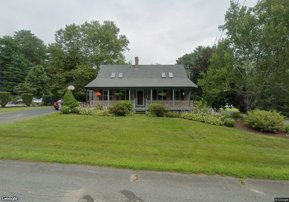
69 Park Dr Acushnet, MA 02743
Sherwood Forest NeighborhoodEstimated Value: $468,000 - $490,011
4
Beds
2
Baths
1,488
Sq Ft
$324/Sq Ft
Est. Value
About This Home
This home is located at 69 Park Dr, Acushnet, MA 02743 and is currently estimated at $482,003, approximately $323 per square foot. 69 Park Dr is a home located in Bristol County with nearby schools including Acushnet Elementary School, Albert F Ford Middle School, and Alma del Mar Charter School.
Create a Home Valuation Report for This Property
The Home Valuation Report is an in-depth analysis detailing your home's value as well as a comparison with similar homes in the area
Home Values in the Area
Average Home Value in this Area
Tax History
| Year | Tax Paid | Tax Assessment Tax Assessment Total Assessment is a certain percentage of the fair market value that is determined by local assessors to be the total taxable value of land and additions on the property. | Land | Improvement |
|---|---|---|---|---|
| 2025 | $44 | $405,500 | $125,100 | $280,400 |
| 2024 | $4,194 | $367,600 | $118,300 | $249,300 |
| 2023 | $4,171 | $347,600 | $102,400 | $245,200 |
| 2022 | $4,147 | $312,500 | $97,800 | $214,700 |
| 2021 | $3,306 | $277,500 | $97,800 | $179,700 |
| 2020 | $3,189 | $277,500 | $97,800 | $179,700 |
| 2019 | $3,816 | $269,100 | $100,100 | $169,000 |
| 2018 | $2,439 | $256,700 | $100,100 | $156,600 |
| 2017 | $3,584 | $248,200 | $100,100 | $148,100 |
| 2016 | $3,545 | $244,000 | $93,300 | $150,700 |
| 2015 | $3,259 | $228,200 | $93,300 | $134,900 |
Source: Public Records
Map
Nearby Homes
- 134 Nyes Ln
- 1015 Forbes St
- 329 Middle Rd
- SS Charbonneau Ln
- 40 Foley Dr
- ES Acushnet Ave
- 765 Pine Hill Dr
- 145 Heritage Dr
- 34 Poplar Rd
- WS Phillips Rd
- ES Phillips Rd
- 7 Hamlin St
- 1044 Phillips Rd Unit 25
- 1044 Phillips Rd Unit 20
- 0 Keene Rd Unit 73459818
- 23 Coury Dr
- 898 Tobey St
- 0 Land Way Unit 73479153
- 2800 Acushnet Ave
- 1251 Church St Unit 10
Your Personal Tour Guide
Ask me questions while you tour the home.