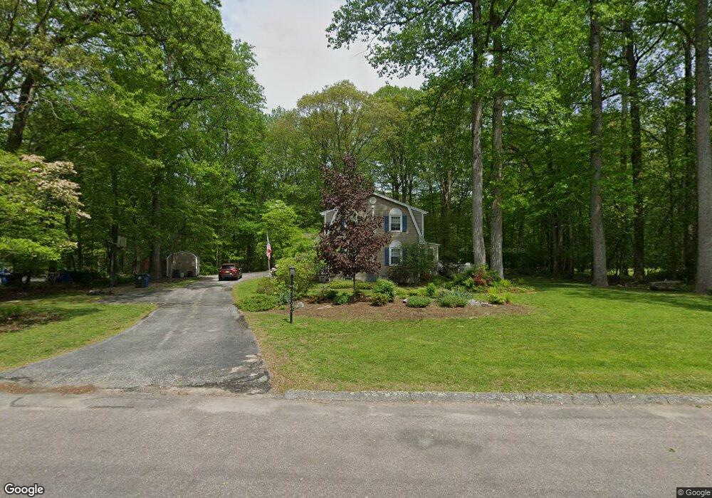
69 Pheasant Run Dr Gales Ferry, CT 06335
Estimated Value: $492,000 - $516,000
4
Beds
3
Baths
2,008
Sq Ft
$250/Sq Ft
Est. Value
About This Home
This home is located at 69 Pheasant Run Dr, Gales Ferry, CT 06335 and is currently estimated at $502,798, approximately $250 per square foot. 69 Pheasant Run Dr is a home located in New London County with nearby schools including Ledyard Middle School, Ledyard High School, and Academy Of St Therese.
Ownership History
Date
Name
Owned For
Owner Type
Purchase Details
Closed on
Jul 31, 1989
Sold by
Johnson Florence
Bought by
Llewellyn Richard
Current Estimated Value
Create a Home Valuation Report for This Property
The Home Valuation Report is an in-depth analysis detailing your home's value as well as a comparison with similar homes in the area
Home Values in the Area
Average Home Value in this Area
Purchase History
| Date | Buyer | Sale Price | Title Company |
|---|---|---|---|
| Llewellyn Richard | $196,000 | -- |
Source: Public Records
Mortgage History
| Date | Status | Borrower | Loan Amount |
|---|---|---|---|
| Open | Llewellyn Richard | $140,600 | |
| Closed | Llewellyn Richard | $170,000 | |
| Closed | Llewellyn Richard | $140,000 | |
| Closed | Llewellyn Richard | $20,000 |
Source: Public Records
Tax History Compared to Growth
Tax History
| Year | Tax Paid | Tax Assessment Tax Assessment Total Assessment is a certain percentage of the fair market value that is determined by local assessors to be the total taxable value of land and additions on the property. | Land | Improvement |
|---|---|---|---|---|
| 2025 | $7,997 | $215,320 | $52,220 | $163,100 |
| 2024 | $7,581 | $215,320 | $52,220 | $163,100 |
| 2023 | $7,441 | $215,320 | $52,220 | $163,100 |
| 2022 | $7,282 | $215,320 | $52,220 | $163,100 |
| 2021 | $7,235 | $215,320 | $52,220 | $163,100 |
| 2020 | $7,092 | $202,790 | $54,740 | $148,050 |
| 2019 | $7,110 | $202,790 | $54,740 | $148,050 |
| 2018 | $6,954 | $202,790 | $54,740 | $148,050 |
| 2017 | $6,599 | $202,790 | $54,740 | $148,050 |
| 2016 | $6,469 | $202,790 | $54,740 | $148,050 |
| 2015 | $6,165 | $202,790 | $54,740 | $148,050 |
| 2014 | $6,195 | $207,200 | $54,740 | $152,460 |
Source: Public Records
Map
Nearby Homes
- 65 Eagle Ridge Dr
- 14 Eagle Ridge Dr
- 1535 Route 12
- 21 Lincoln Dr
- 4 Ledgewood Dr
- 3 Parkwood Dr
- 14 Patricia Ct
- 16 Oakwood Dr
- 11 Marty's Way
- 4 Marty's Way
- 16 Marty's Way
- 18 Richard Rd
- 49 Inchcliffe Dr
- 31 Richard Rd
- 18 Marty's Way
- 6 Ovata Dr
- 39 Ash Dr Unit 9
- 1663 Center Groton Rd
- 10 Crestview Dr
- 2 Robinhood Dr
- 67 Pheasant Run Dr
- 71 Pheasant Run Dr
- 65 Pheasant Run Dr
- 68 Pheasant Run Dr
- 12 Osprey Dr
- 4 Whippoorwill Dr
- 14 Osprey Dr
- 10 Osprey Dr
- 2 Whippoorwill Dr
- 6 Whippoorwill Dr
- 66 Pheasant Run Dr
- 63 Pheasant Run Dr
- 8 Osprey Dr
- 64 Pheasant Run Dr
- 16 Osprey Dr
- 61 Pheasant Run Dr
- 67 Partridge Hollow Rd
- 6 Osprey Dr
- 69 Partridge Hollow Rd
- 10 Whippoorwill Dr