69 Philip Ln Dayville, CT 06241
Estimated Value: $336,000 - $416,000
4
Beds
2
Baths
1,547
Sq Ft
$243/Sq Ft
Est. Value
About This Home
This home is located at 69 Philip Ln, Dayville, CT 06241 and is currently estimated at $376,398, approximately $243 per square foot. 69 Philip Ln is a home located in Windham County with nearby schools including Killingly Central School, Killingly Memorial School, and Killingly Intermediate School.
Ownership History
Date
Name
Owned For
Owner Type
Purchase Details
Closed on
Nov 5, 2001
Sold by
Carkin Thomas R and Carkin Sharon R
Bought by
Souksavath Anoulay L and Lehtinen Jennier E
Current Estimated Value
Home Financials for this Owner
Home Financials are based on the most recent Mortgage that was taken out on this home.
Original Mortgage
$123,900
Outstanding Balance
$48,783
Interest Rate
6.82%
Estimated Equity
$327,615
Purchase Details
Closed on
Nov 23, 1992
Sold by
Jewett City Sb
Bought by
King Timothy J
Home Financials for this Owner
Home Financials are based on the most recent Mortgage that was taken out on this home.
Original Mortgage
$103,000
Interest Rate
6%
Mortgage Type
Unknown
Create a Home Valuation Report for This Property
The Home Valuation Report is an in-depth analysis detailing your home's value as well as a comparison with similar homes in the area
Home Values in the Area
Average Home Value in this Area
Purchase History
| Date | Buyer | Sale Price | Title Company |
|---|---|---|---|
| Souksavath Anoulay L | $126,000 | -- | |
| Souksavath Anoulay L | $126,000 | -- | |
| King Timothy J | $35,000 | -- | |
| King Timothy J | $35,000 | -- |
Source: Public Records
Mortgage History
| Date | Status | Borrower | Loan Amount |
|---|---|---|---|
| Open | King Timothy J | $123,900 | |
| Closed | King Timothy J | $123,900 | |
| Previous Owner | King Timothy J | $103,000 |
Source: Public Records
Tax History Compared to Growth
Tax History
| Year | Tax Paid | Tax Assessment Tax Assessment Total Assessment is a certain percentage of the fair market value that is determined by local assessors to be the total taxable value of land and additions on the property. | Land | Improvement |
|---|---|---|---|---|
| 2025 | $4,719 | $201,250 | $48,330 | $152,920 |
| 2024 | $4,369 | $197,940 | $48,330 | $149,610 |
| 2023 | $3,892 | $135,850 | $40,160 | $95,690 |
| 2022 | $3,671 | $136,430 | $40,740 | $95,690 |
| 2021 | $3,671 | $136,430 | $40,740 | $95,690 |
| 2020 | $3,594 | $136,430 | $40,740 | $95,690 |
| 2019 | $3,665 | $136,430 | $40,740 | $95,690 |
| 2017 | $3,188 | $109,130 | $33,740 | $75,390 |
| 2016 | $3,177 | $109,130 | $33,740 | $75,390 |
| 2015 | $3,199 | $109,130 | $33,740 | $75,390 |
| 2014 | $3,111 | $109,130 | $33,740 | $75,390 |
Source: Public Records
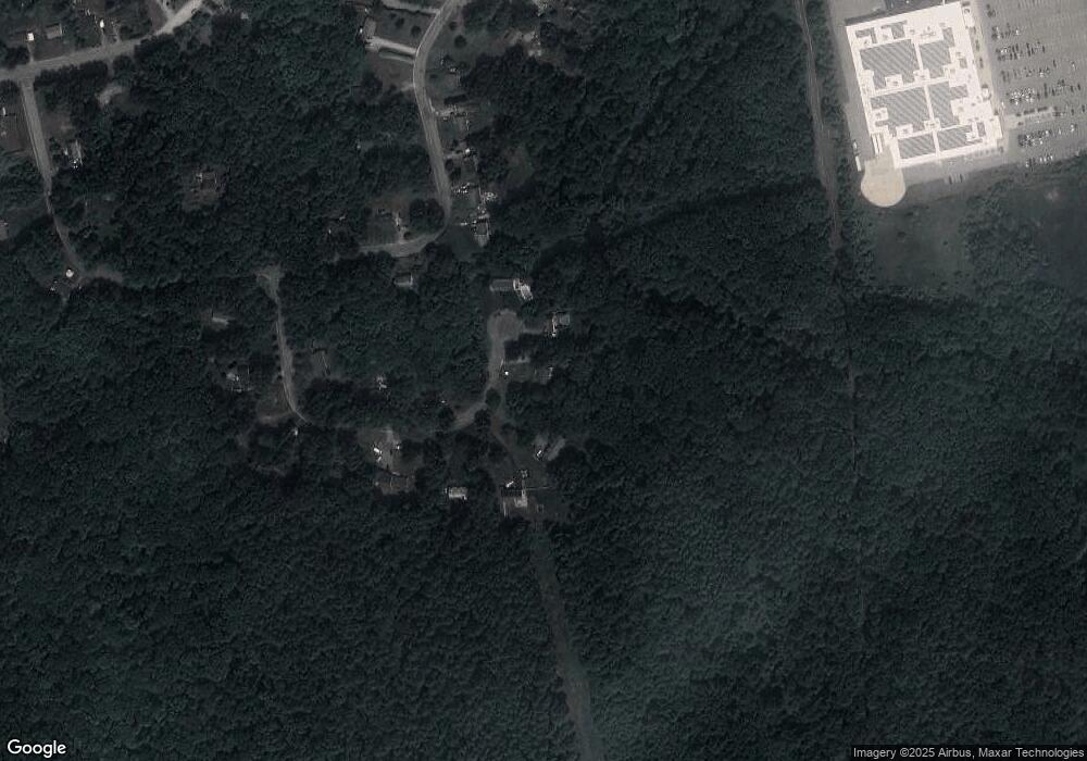
Map
Nearby Homes
- 11 Kenneth Dr
- 3 Ferland Dr
- 1032 N Main St Unit 9
- 1067 N Main St
- 10 Conrad's Park
- 14 Valley View Dr
- 18 Valley View Dr
- 16 Valley View Dr
- 4 Bluebird Ln
- 7 Shelby Cir
- 85 Soap St
- 860 N Main St
- 140 Woodward St
- 98 Williamsville Rd
- 61 Deerwood Dr
- 17 Hillside Terrace
- 65 Stone St
- 842 Hartford Pike
- 415 Maple St
- 16 James St