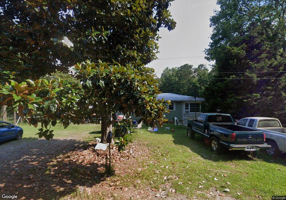
69 Pine Rd Cordova, AL 35550
Estimated Value: $82,323 - $102,000
Studio
--
Bath
1,218
Sq Ft
$76/Sq Ft
Est. Value
About This Home
This home is located at 69 Pine Rd, Cordova, AL 35550 and is currently estimated at $93,081, approximately $76 per square foot. 69 Pine Rd is a home located in Walker County.
Ownership History
Date
Name
Owned For
Owner Type
Purchase Details
Closed on
Apr 6, 2021
Sold by
Sargent Stephen Scott and Sargent Scott
Bought by
Armstrong Shane and Armstrong Heidi
Current Estimated Value
Home Financials for this Owner
Home Financials are based on the most recent Mortgage that was taken out on this home.
Original Mortgage
$78,570
Outstanding Balance
$70,825
Interest Rate
2.9%
Mortgage Type
New Conventional
Estimated Equity
$22,256
Purchase Details
Closed on
Jul 11, 2016
Sold by
Whatley Kathy P and Phillips Scott
Bought by
Sargent Scott
Purchase Details
Closed on
Dec 13, 2012
Sold by
Harland Clifford Allen
Bought by
Phillips Needie Rue
Create a Home Valuation Report for This Property
The Home Valuation Report is an in-depth analysis detailing your home's value as well as a comparison with similar homes in the area
Purchase History
| Date | Buyer | Sale Price | Title Company |
|---|---|---|---|
| Armstrong Shane | $81,000 | None Available | |
| Sargent Scott | $31,000 | -- | |
| Phillips Needie Rue | $5,000 | -- |
Source: Public Records
Mortgage History
| Date | Status | Borrower | Loan Amount |
|---|---|---|---|
| Open | Armstrong Shane | $78,570 |
Source: Public Records
Tax History
| Year | Tax Paid | Tax Assessment Tax Assessment Total Assessment is a certain percentage of the fair market value that is determined by local assessors to be the total taxable value of land and additions on the property. | Land | Improvement |
|---|---|---|---|---|
| 2024 | $118 | $5,560 | $1,290 | $4,270 |
| 2023 | $98 | $5,560 | $1,290 | $4,270 |
| 2022 | $86 | $5,070 | $1,070 | $4,000 |
| 2021 | $174 | $6,844 | $2,140 | $4,704 |
| 2020 | $188 | $7,380 | $2,140 | $5,240 |
| 2019 | $188 | $7,380 | $2,140 | $5,240 |
| 2018 | $159 | $6,240 | $2,080 | $4,160 |
| 2017 | $159 | $6,240 | $2,080 | $4,160 |
| 2016 | $159 | $6,240 | $2,080 | $4,160 |
| 2015 | $20 | $3,520 | $1,440 | $2,080 |
| 2014 | $18 | $3,340 | $1,300 | $2,040 |
| 2013 | -- | $2,800 | $960 | $1,840 |
Source: Public Records
Map
Nearby Homes
- 1694 Cordova-Gorgas Rd
- 00 Mt View Rd
- 4193 Mass Ave N
- 102 Warrior Ave
- 0 Columbus Blvd Unit 21410900
- 216 North St
- 74 Pate St
- 249 Barton Chapel Loop Rd
- 68 Buttercup Rd
- 2740 River Rd
- 0 Rivers Edge Trail
- 0 Rivers Edge Trail Unit 1,2,3,5
- 400 Rivers Edge Trail
- 2144 Old Parrish Cordova Rd
- 0 Gardners Gin Rd Unit 21399626
- 646 Commerce Ave
- 868 Hoover Rd
- 308 Doliska Rd
- 3431 Buttermilk Rd
- 0 Treece Rd
- 154 Pine Rd
- 185 Pine Rd
- 999 Dovertown Rd
- 918 Dovertown Rd
- 918 Dovertown Rd
- 1069 Dovertown Rd
- 245 Pine Rd
- 235 Pine Rd
- 109 Sargent Rd
- 975 Dovertown Rd
- 279 Pine Rd
- 293 Pine Rd
- 1118 Dovertown Rd
- 150 Sargent Rd
- 315 Pine Rd
- 170 Sargent Rd
- 330 Pine Rd
- 3 Plywood Plant Rd
- 186 Plywood Plant Rd
- 1145 Dovertown Rd
Your Personal Tour Guide
Ask me questions while you tour the home.