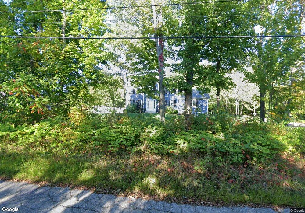
69 Prospect St Rutland, MA 01543
Estimated Value: $646,000 - $691,000
4
Beds
3
Baths
2,016
Sq Ft
$333/Sq Ft
Est. Value
About This Home
This home is located at 69 Prospect St, Rutland, MA 01543 and is currently estimated at $670,949, approximately $332 per square foot. 69 Prospect St is a home located in Worcester County with nearby schools including Wachusett Regional High School.
Ownership History
Date
Name
Owned For
Owner Type
Purchase Details
Closed on
Mar 9, 2017
Sold by
M A Elbag Bldg Contrac
Bought by
Huard Travis S and Huard Rebecca A
Current Estimated Value
Home Financials for this Owner
Home Financials are based on the most recent Mortgage that was taken out on this home.
Original Mortgage
$360,800
Outstanding Balance
$297,924
Interest Rate
4.19%
Mortgage Type
VA
Estimated Equity
$373,025
Create a Home Valuation Report for This Property
The Home Valuation Report is an in-depth analysis detailing your home's value as well as a comparison with similar homes in the area
Home Values in the Area
Average Home Value in this Area
Purchase History
| Date | Buyer | Sale Price | Title Company |
|---|---|---|---|
| Huard Travis S | $380,800 | -- | |
| M A Elbag Bldg Contrac | -- | -- | |
| M A Elbag Bldg Contrac | -- | -- |
Source: Public Records
Mortgage History
| Date | Status | Borrower | Loan Amount |
|---|---|---|---|
| Open | Huard Travis S | $360,800 | |
| Closed | M A Elbag Bldg Contrac | $360,800 |
Source: Public Records
Tax History Compared to Growth
Tax History
| Year | Tax Paid | Tax Assessment Tax Assessment Total Assessment is a certain percentage of the fair market value that is determined by local assessors to be the total taxable value of land and additions on the property. | Land | Improvement |
|---|---|---|---|---|
| 2025 | $8,114 | $569,800 | $97,600 | $472,200 |
| 2024 | $8,113 | $547,100 | $93,700 | $453,400 |
| 2023 | $7,405 | $539,700 | $88,400 | $451,300 |
| 2022 | $6,913 | $437,800 | $74,700 | $363,100 |
| 2021 | $6,805 | $407,500 | $74,700 | $332,800 |
| 2020 | $6,778 | $384,900 | $70,900 | $314,000 |
| 2019 | $6,811 | $380,700 | $67,500 | $313,200 |
| 2018 | $6,630 | $365,700 | $67,500 | $298,200 |
| 2017 | $1,237 | $67,500 | $67,500 | $0 |
Source: Public Records
Map
Nearby Homes
- 43 Irish Ln
- 37 Irish Ln
- 39 Irish Ln
- 252 Pleasantdale Rd
- Lot 11 Pleasantdale Rd
- 236 Turkey Hill Rd
- 7 Emerald Rd
- 21 Wildbrook Dr
- 14 Welch Ave Unit A
- LOT 8 Pierre Cir
- 7 Victoria Ave
- 2 Kosta Ave
- 11 Brigham Rd
- 4 Wilson Way
- 176 Maple Ave Unit 1-38
- 176 Maple Ave Unit 3-25
- 176 Maple Ave Unit 2-26
- 189 Maple Ave
- Lot 24R Quail Run
- Lot 29 Quail Run