69 Quail Run Tewksbury, MA 01876
Estimated Value: $480,000 - $558,000
2
Beds
2
Baths
1,212
Sq Ft
$415/Sq Ft
Est. Value
About This Home
This home is located at 69 Quail Run, Tewksbury, MA 01876 and is currently estimated at $502,656, approximately $414 per square foot. 69 Quail Run is a home located in Middlesex County.
Ownership History
Date
Name
Owned For
Owner Type
Purchase Details
Closed on
Oct 8, 2008
Sold by
Maki Cheryl C
Bought by
Demarco Joseph G
Current Estimated Value
Home Financials for this Owner
Home Financials are based on the most recent Mortgage that was taken out on this home.
Original Mortgage
$207,100
Interest Rate
6.43%
Mortgage Type
Purchase Money Mortgage
Purchase Details
Closed on
Nov 24, 1998
Sold by
Patten Green Rt and Hilson
Bought by
Maki Cheryl C
Home Financials for this Owner
Home Financials are based on the most recent Mortgage that was taken out on this home.
Original Mortgage
$120,600
Interest Rate
6.49%
Mortgage Type
Purchase Money Mortgage
Purchase Details
Closed on
Sep 9, 1996
Sold by
Beatrice Mary V
Bought by
Patten Green Rt and Hilson
Purchase Details
Closed on
May 4, 1988
Sold by
Song Paul E
Bought by
Beatrice Mary V
Create a Home Valuation Report for This Property
The Home Valuation Report is an in-depth analysis detailing your home's value as well as a comparison with similar homes in the area
Home Values in the Area
Average Home Value in this Area
Purchase History
| Date | Buyer | Sale Price | Title Company |
|---|---|---|---|
| Demarco Joseph G | $218,000 | -- | |
| Maki Cheryl C | $134,000 | -- | |
| Patten Green Rt | $121,000 | -- | |
| Beatrice Mary V | $135,500 | -- |
Source: Public Records
Mortgage History
| Date | Status | Borrower | Loan Amount |
|---|---|---|---|
| Open | Beatrice Mary V | $203,000 | |
| Closed | Demarco Joseph G | $207,100 | |
| Previous Owner | Beatrice Mary V | $120,600 | |
| Previous Owner | Beatrice Mary V | $10,577 |
Source: Public Records
Tax History Compared to Growth
Tax History
| Year | Tax Paid | Tax Assessment Tax Assessment Total Assessment is a certain percentage of the fair market value that is determined by local assessors to be the total taxable value of land and additions on the property. | Land | Improvement |
|---|---|---|---|---|
| 2025 | $5,493 | $415,500 | $0 | $415,500 |
| 2024 | $5,130 | $383,100 | $0 | $383,100 |
| 2023 | $4,914 | $348,500 | $0 | $348,500 |
| 2022 | $4,806 | $316,200 | $0 | $316,200 |
| 2021 | $4,707 | $299,400 | $0 | $299,400 |
| 2020 | $4,674 | $292,700 | $0 | $292,700 |
| 2019 | $3,813 | $240,700 | $0 | $240,700 |
| 2018 | $3,744 | $232,100 | $0 | $232,100 |
| 2017 | $3,619 | $221,900 | $0 | $221,900 |
| 2016 | $3,613 | $221,000 | $0 | $221,000 |
| 2015 | $3,408 | $208,200 | $0 | $208,200 |
| 2014 | $3,427 | $212,700 | $0 | $212,700 |
Source: Public Records
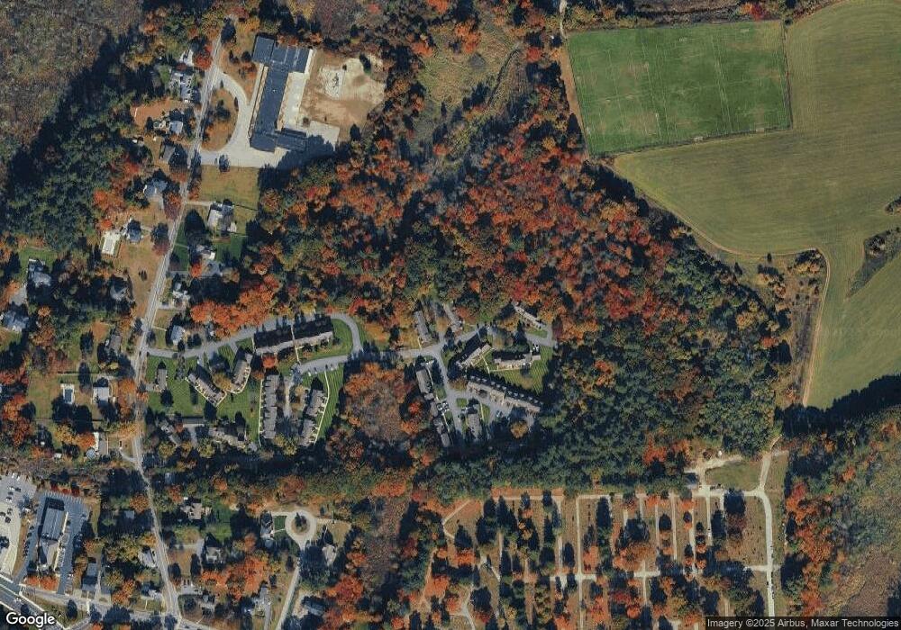
Map
Nearby Homes
- 13 Berkeley
- 20 Sophie Ruth Way
- 1117 Emerald Ct
- 1224 Emerald Ct
- 910 Livingston St
- 97 Kendall Rd
- 900 Livingston St
- 399 North St
- 11 Orchard St
- 12 Hillcrest Rd
- 18 Newton Ave
- 1325 Main
- 43 Patrick Rd
- 1170 Livingston St
- 61 Patrick Rd
- 1418 Main St Unit 201
- 1455 Main St Unit 8
- 20 Meredith Rd
- 172 Patrick Rd
- 101 Squire Ln