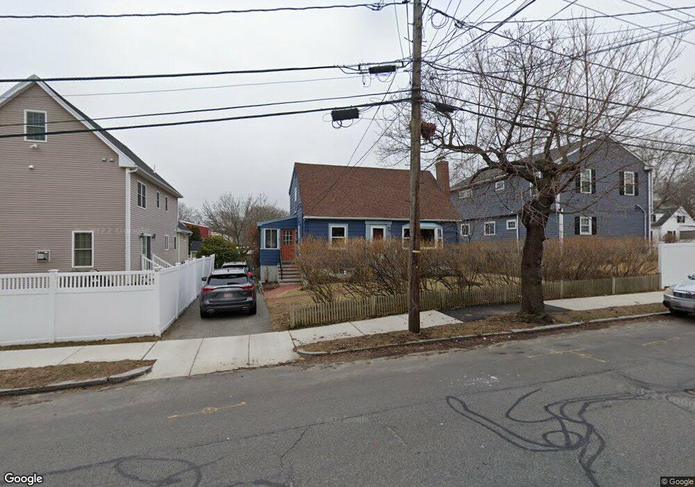
69 River St Arlington, MA 02474
East Arlington NeighborhoodEstimated Value: $930,000 - $1,202,975
4
Beds
2
Baths
1,728
Sq Ft
$621/Sq Ft
Est. Value
About This Home
This home is located at 69 River St, Arlington, MA 02474 and is currently estimated at $1,072,744, approximately $620 per square foot. 69 River St is a home located in Middlesex County with nearby schools including Thompson School, Ottoson Middle School, and Arlington High School.
Ownership History
Date
Name
Owned For
Owner Type
Purchase Details
Closed on
Aug 6, 2018
Sold by
Velona Gerard
Bought by
Gerard M Velona Ft and Velona
Current Estimated Value
Purchase Details
Closed on
Sep 18, 2017
Sold by
Velona Gerard and Velona Bettina H
Bought by
Velona Gerard
Purchase Details
Closed on
Jan 29, 1999
Sold by
Beckwith Anthony R and Beckwith Corinna K
Bought by
Velona Gerard and Velona Bettina H
Purchase Details
Closed on
Oct 27, 1995
Sold by
Brosnan John F and Brosnan Judith L
Bought by
Beckwith Anthony R and Chase-Dunn Corinna K
Purchase Details
Closed on
Jun 25, 1990
Sold by
Blatman Steven L
Bought by
Brosnan John F
Create a Home Valuation Report for This Property
The Home Valuation Report is an in-depth analysis detailing your home's value as well as a comparison with similar homes in the area
Home Values in the Area
Average Home Value in this Area
Purchase History
| Date | Buyer | Sale Price | Title Company |
|---|---|---|---|
| Gerard M Velona Ft | -- | -- | |
| Velona Gerard | -- | -- | |
| Velona Gerard | $240,050 | -- | |
| Beckwith Anthony R | $175,500 | -- | |
| Beckwith Anthony R | $175,500 | -- | |
| Brosnan John F | $178,000 | -- | |
| Brosnan John F | $178,000 | -- |
Source: Public Records
Mortgage History
| Date | Status | Borrower | Loan Amount |
|---|---|---|---|
| Previous Owner | Brosnan John F | $275,000 | |
| Previous Owner | Brosnan John F | $40,000 |
Source: Public Records
Tax History
| Year | Tax Paid | Tax Assessment Tax Assessment Total Assessment is a certain percentage of the fair market value that is determined by local assessors to be the total taxable value of land and additions on the property. | Land | Improvement |
|---|---|---|---|---|
| 2025 | $10,798 | $1,002,600 | $626,800 | $375,800 |
| 2024 | $9,943 | $938,900 | $596,700 | $342,200 |
| 2023 | $8,881 | $792,200 | $500,200 | $292,000 |
| 2022 | $8,699 | $761,700 | $482,200 | $279,500 |
| 2021 | $8,536 | $752,700 | $482,200 | $270,500 |
| 2020 | $8,326 | $752,800 | $482,200 | $270,600 |
| 2019 | $8,294 | $736,600 | $512,300 | $224,300 |
| 2018 | $4,127 | $598,000 | $373,700 | $224,300 |
| 2017 | $6,905 | $549,800 | $325,500 | $224,300 |
| 2016 | $6,419 | $501,500 | $277,200 | $224,300 |
| 2015 | $6,480 | $478,200 | $271,200 | $207,000 |
Source: Public Records
Map
Nearby Homes
- 199 Everett St Unit 199
- 27-29 Dartmouth St Unit 1
- 29 Dartmouth St Unit 29
- 53 Warren St Unit 53
- 52 Warren St
- 120 Broadway
- 145 Jerome St
- 80 Broadway Unit PH
- 111 Sharon St Unit 1
- 44 Sherman St
- 165 Franklin St Unit 167
- 89 Cleveland St Unit 89
- 31 Sharon St
- 166 Franklin St Unit 1
- 132 Warren St Unit B
- 68-70 Hamlet St
- 69 Sterling St
- 325A Alewife Brook Pkwy Unit A
- 327 Alewife Brook Pkwy Unit A
- 327 Alewife Brook Pkwy Unit B
Your Personal Tour Guide
Ask me questions while you tour the home.