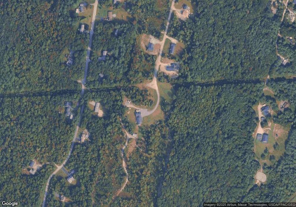
69 Roberts Way West Gardiner, ME 04345
Estimated Value: $422,000 - $931,711
--
Bed
--
Bath
--
Sq Ft
--
Built
About This Home
This home is located at 69 Roberts Way, West Gardiner, ME 04345 and is currently estimated at $615,904. 69 Roberts Way is a home with nearby schools including Gardiner Area High School.
Ownership History
Date
Name
Owned For
Owner Type
Purchase Details
Closed on
Jul 9, 2014
Sold by
Rideout Robert L and Rideout Mark R
Bought by
Rideout & Rines Bldrs
Current Estimated Value
Purchase Details
Closed on
Oct 16, 2013
Sold by
Kennebec Savings Bank
Bought by
Rideout Mark R and Rideout Robert L
Purchase Details
Closed on
Apr 19, 2013
Sold by
Brown Barbara S
Bought by
Rideout Robert L and Rideout Mark R
Home Financials for this Owner
Home Financials are based on the most recent Mortgage that was taken out on this home.
Original Mortgage
$104,000
Interest Rate
5%
Mortgage Type
Adjustable Rate Mortgage/ARM
Create a Home Valuation Report for This Property
The Home Valuation Report is an in-depth analysis detailing your home's value as well as a comparison with similar homes in the area
Home Values in the Area
Average Home Value in this Area
Purchase History
| Date | Buyer | Sale Price | Title Company |
|---|---|---|---|
| Rideout & Rines Bldrs | -- | -- | |
| Rideout & Rines Bldrs | -- | -- | |
| Rideout & Rines Bldrs | -- | -- | |
| Rideout Mark R | -- | -- | |
| Rideout Robert L | -- | -- | |
| Rideout Robert L | -- | -- | |
| Rideout Robert L | -- | -- |
Source: Public Records
Mortgage History
| Date | Status | Borrower | Loan Amount |
|---|---|---|---|
| Previous Owner | Rideout Robert L | $104,000 |
Source: Public Records
Tax History Compared to Growth
Tax History
| Year | Tax Paid | Tax Assessment Tax Assessment Total Assessment is a certain percentage of the fair market value that is determined by local assessors to be the total taxable value of land and additions on the property. | Land | Improvement |
|---|---|---|---|---|
| 2024 | $7,215 | $907,500 | $217,500 | $690,000 |
| 2023 | $6,496 | $802,000 | $218,000 | $584,000 |
| 2022 | $5,959 | $718,000 | $218,000 | $500,000 |
| 2021 | $6,109 | $643,000 | $218,000 | $425,000 |
| 2020 | $7,202 | $643,000 | $248,000 | $395,000 |
| 2019 | $6,877 | $598,000 | $278,000 | $320,000 |
| 2018 | $4,379 | $368,000 | $278,000 | $90,000 |
| 2017 | $2,953 | $240,100 | $240,100 | $0 |
| 2016 | $3,241 | $270,100 | $270,100 | $0 |
Source: Public Records
Map
Nearby Homes
- 38 Rockwood Estates
- 67 Rockwood Estates
- Lot 2 Rockwood Estates
- 2 Oakwood Rd
- 159 Old Lewiston Rd
- 35 Ash St
- 2 Orchard St
- 303 Harrison Ave
- 33 Ash St Unit 33A & 33B
- TBD Pond Rd
- 301 Pond Rd
- 39 Lobo Ln
- 229 Highland Ave
- 11 Partridge Dr
- 36 Adams St
- 25 and 27 Pray St
- 25 Pray St
- 85 High Holborn St
- Lot 13 Brunswick Ave
- 0 Brunswick Ave
