Estimated Value: $255,000 - $281,000
3
Beds
1
Bath
1,240
Sq Ft
$217/Sq Ft
Est. Value
About This Home
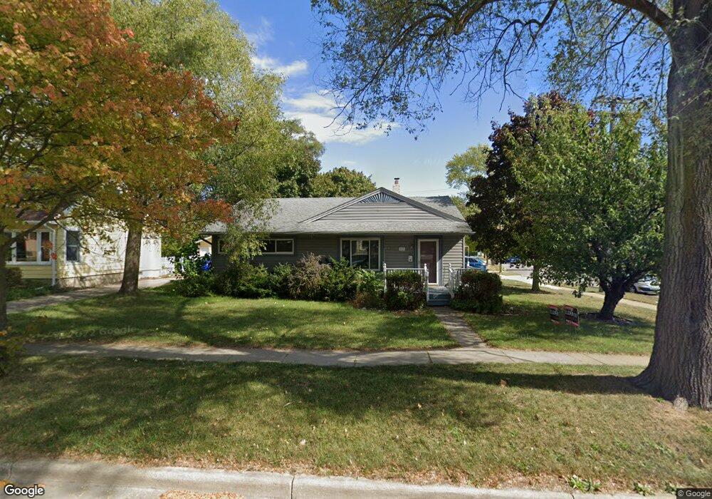
This home is located at 69 S Platt St, Milan, MI 48160 and is currently estimated at $269,292, approximately $217 per square foot. 69 S Platt St is a home located in Washtenaw County with nearby schools including Paddock Elementary School, Clayton H. Symons Elementary School, and Milan Middle School.
Ownership History
Date
Name
Owned For
Owner Type
Purchase Details
Closed on
Jul 31, 2003
Sold by
Mallory Susan M
Bought by
Lind Rick S
Current Estimated Value
Purchase Details
Closed on
Jul 27, 2000
Sold by
Azzopardi Frank J
Bought by
Mallory Susan M
Purchase Details
Closed on
Sep 28, 1999
Sold by
Simpkins Mary Ann
Bought by
Ajlouny Aneese
Purchase Details
Closed on
May 21, 1996
Sold by
Preputnik John
Bought by
Azzopardi Frank J and Azzopardi Terri
Home Financials for this Owner
Home Financials are based on the most recent Mortgage that was taken out on this home.
Original Mortgage
$104,400
Interest Rate
8.1%
Mortgage Type
Balloon
Create a Home Valuation Report for This Property
The Home Valuation Report is an in-depth analysis detailing your home's value as well as a comparison with similar homes in the area
Home Values in the Area
Average Home Value in this Area
Purchase History
| Date | Buyer | Sale Price | Title Company |
|---|---|---|---|
| Lind Rick S | -- | -- | |
| Mallory Susan M | $164,900 | -- | |
| Ajlouny Aneese | $180,000 | -- | |
| Azzopardi Frank J | $116,000 | -- |
Source: Public Records
Mortgage History
| Date | Status | Borrower | Loan Amount |
|---|---|---|---|
| Previous Owner | Azzopardi Frank J | $104,400 |
Source: Public Records
Tax History Compared to Growth
Tax History
| Year | Tax Paid | Tax Assessment Tax Assessment Total Assessment is a certain percentage of the fair market value that is determined by local assessors to be the total taxable value of land and additions on the property. | Land | Improvement |
|---|---|---|---|---|
| 2025 | $3,072 | $118,500 | $0 | $0 |
| 2024 | $3,072 | $109,900 | $0 | $0 |
| 2023 | $2,936 | $100,900 | $0 | $0 |
| 2022 | $3,298 | $94,500 | $0 | $0 |
| 2021 | $3,218 | $89,800 | $0 | $0 |
| 2020 | $3,209 | $85,600 | $0 | $0 |
| 2019 | $3,134 | $82,300 | $82,300 | $0 |
| 2018 | $3,205 | $88,200 | $0 | $0 |
| 2017 | $3,090 | $84,800 | $0 | $0 |
| 2016 | $2,577 | $57,355 | $0 | $0 |
| 2015 | -- | $57,184 | $0 | $0 |
| 2014 | -- | $55,398 | $0 | $0 |
| 2013 | -- | $55,398 | $0 | $0 |
Source: Public Records
Map
Nearby Homes
- 82 Saint Louis St
- 572 River Pointe
- 602 Yorkshire Square
- 128 1st St
- 937 Prairie Ln
- 410 Riverbend Dr
- 257 O'Brian Dr
- 1 E Main St
- 675 Mooreville Rd
- 316 O'Brian Dr
- 216 Ferman St
- 17 Gay St
- 141 County St
- 329 Wabash St
- 226 Welch St
- 1 Redman Rd
- 0 Lee St
- 221 E Main St
- 701 Jefferson Ln Unit 14
- 709 Jefferson Ln Unit 14
- 35 S Platt St
- 492 Everett St
- 21 S Platt St
- 21 Platt Rd
- 497 Everett St
- 486 Everett St
- 487 Everett St
- 123 S Platt St
- 495 W Main St
- 480 Everett St
- 487 W Main St
- 0 River Pointe Ct
- 499 W Main St
- 508 River Pointe Unit 26
- 483 W Main St
- 477 Everett St
- 129 S Platt St
- 474 Everett St
- 32 S Platt St
- 524 River Pointe