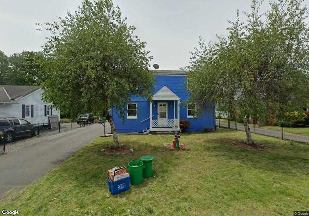
69 Samsondale Ave Unit 101 West Haverstraw, NY 10993
Estimated Value: $534,000 - $672,000
2
Beds
1
Bath
1,664
Sq Ft
$360/Sq Ft
Est. Value
About This Home
This home is located at 69 Samsondale Ave Unit 101, West Haverstraw, NY 10993 and is currently estimated at $599,457, approximately $360 per square foot. 69 Samsondale Ave Unit 101 is a home located in Rockland County with nearby schools including West Haverstraw Elementary School, Haverstraw Elementary School, and Fieldstone Secondary School.
Ownership History
Date
Name
Owned For
Owner Type
Purchase Details
Closed on
Feb 2, 2024
Sold by
Hamilton Trust
Bought by
Asemota Clement and Aimienwanwu Juliet
Current Estimated Value
Home Financials for this Owner
Home Financials are based on the most recent Mortgage that was taken out on this home.
Original Mortgage
$494,000
Outstanding Balance
$485,351
Interest Rate
6.66%
Mortgage Type
New Conventional
Estimated Equity
$114,106
Create a Home Valuation Report for This Property
The Home Valuation Report is an in-depth analysis detailing your home's value as well as a comparison with similar homes in the area
Home Values in the Area
Average Home Value in this Area
Purchase History
| Date | Buyer | Sale Price | Title Company |
|---|---|---|---|
| Asemota Clement | $520,000 | Old Republic National Title |
Source: Public Records
Mortgage History
| Date | Status | Borrower | Loan Amount |
|---|---|---|---|
| Open | Asemota Clement | $494,000 |
Source: Public Records
Tax History Compared to Growth
Tax History
| Year | Tax Paid | Tax Assessment Tax Assessment Total Assessment is a certain percentage of the fair market value that is determined by local assessors to be the total taxable value of land and additions on the property. | Land | Improvement |
|---|---|---|---|---|
| 2024 | $21,616 | $305,900 | $94,400 | $211,500 |
| 2023 | $21,616 | $305,900 | $94,400 | $211,500 |
| 2022 | $21,437 | $305,900 | $94,400 | $211,500 |
| 2021 | $21,336 | $305,900 | $94,400 | $211,500 |
| 2020 | $13,412 | $305,900 | $94,400 | $211,500 |
| 2019 | $3,183 | $305,900 | $94,400 | $211,500 |
| 2018 | $12,985 | $305,900 | $94,400 | $211,500 |
| 2017 | $12,134 | $305,900 | $94,400 | $211,500 |
| 2016 | $12,175 | $305,900 | $94,400 | $211,500 |
| 2015 | -- | $305,900 | $94,400 | $211,500 |
| 2014 | -- | $305,900 | $94,400 | $211,500 |
Source: Public Records
Map
Nearby Homes
- 25 Wayne Ave
- 2 Joseph St
- 33 Peck St
- 14 Lafayette St
- 5 Peck St
- 3 N Wayne Ave
- 34 Zugibe Ct
- 27 N Wayne Ave
- 22 Ferracane Place
- 31 N Wayne Ave
- 160 Halgren Crescent
- 61 Picariello Dr
- 16 Demarest Ave
- 31 Village Mill Unit D5
- 50 N Wayne Ave
- 84 Village Mill Unit 84
- 31 Spring St
- 12 Hillside Ave
- 92 Benson St
- 183 Broadway
- 69 Samsondale Ave
- 69 Samsondale Ave Unit 201
- 67 Samsondale Ave
- 71 Samsondale Ave
- 61 Samsondale Ave
- 75 Samsondale Ave
- 23 Delloro St
- 21 Delloro St
- 25 Delloro St
- 72 Samsondale Ave
- 68 Samsondale Ave
- 77 Samsondale Ave
- 27 Delloro St
- 15 Delloro St
- 59 Samsondale Ave
- 64 Samsondale Ave
- 62 Samsondale Ave
- 76 Samsondale Ave
- 29 Delloro St
- 79 Samsondale Ave