69 Summerfield Dr Holtsville, NY 11742
Estimated Value: $909,000 - $1,025,000
4
Beds
2
Baths
3,331
Sq Ft
$288/Sq Ft
Est. Value
About This Home
This home is located at 69 Summerfield Dr, Holtsville, NY 11742 and is currently estimated at $959,177, approximately $287 per square foot. 69 Summerfield Dr is a home located in Suffolk County with nearby schools including Waverly Elementary School, Sachem High School East, and Long Island Baptist Academy.
Ownership History
Date
Name
Owned For
Owner Type
Purchase Details
Closed on
Aug 10, 2006
Sold by
Andrews Joseph
Bought by
Joseph Rohan
Current Estimated Value
Purchase Details
Closed on
Apr 14, 2005
Sold by
Lai Tsui King
Bought by
Andrews Joseph
Purchase Details
Closed on
Jun 26, 2001
Sold by
Tamara Developers Llc
Bought by
Lai Tsui King and Kong Hon Mun
Home Financials for this Owner
Home Financials are based on the most recent Mortgage that was taken out on this home.
Original Mortgage
$316,360
Interest Rate
7.2%
Create a Home Valuation Report for This Property
The Home Valuation Report is an in-depth analysis detailing your home's value as well as a comparison with similar homes in the area
Home Values in the Area
Average Home Value in this Area
Purchase History
| Date | Buyer | Sale Price | Title Company |
|---|---|---|---|
| Joseph Rohan | $650,000 | Michele Messina | |
| Andrews Joseph | $650,000 | Judith Engelberg | |
| Lai Tsui King | $381,100 | -- |
Source: Public Records
Mortgage History
| Date | Status | Borrower | Loan Amount |
|---|---|---|---|
| Previous Owner | Lai Tsui King | $316,360 |
Source: Public Records
Tax History Compared to Growth
Tax History
| Year | Tax Paid | Tax Assessment Tax Assessment Total Assessment is a certain percentage of the fair market value that is determined by local assessors to be the total taxable value of land and additions on the property. | Land | Improvement |
|---|---|---|---|---|
| 2024 | $20,090 | $5,665 | $200 | $5,465 |
| 2023 | $20,090 | $5,665 | $200 | $5,465 |
| 2022 | $17,030 | $5,665 | $200 | $5,465 |
| 2021 | $17,030 | $5,665 | $200 | $5,465 |
| 2020 | $17,641 | $5,665 | $200 | $5,465 |
| 2019 | $17,641 | $0 | $0 | $0 |
| 2018 | $16,433 | $5,665 | $200 | $5,465 |
| 2017 | $16,433 | $5,665 | $200 | $5,465 |
| 2016 | $16,384 | $5,665 | $200 | $5,465 |
| 2015 | -- | $5,665 | $200 | $5,465 |
| 2014 | -- | $5,665 | $200 | $5,465 |
Source: Public Records
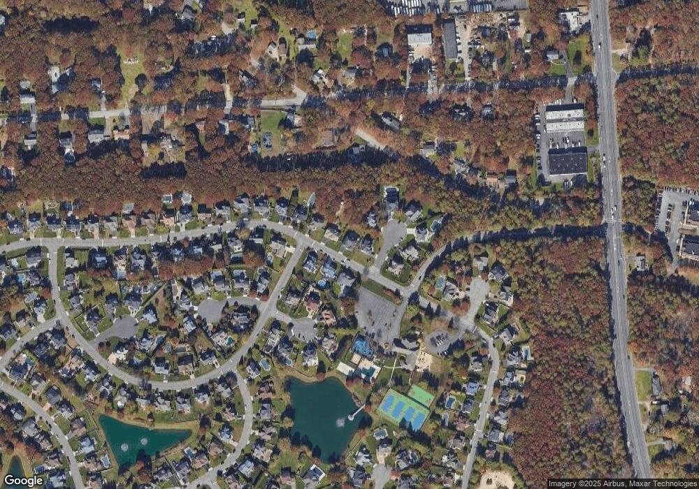
Map
Nearby Homes
- 337 Peconic Ave
- 203 10th Ave
- 185 14th Ave
- 0 Old Medford Ave
- 121 9th Ave
- 153 Jamaica Ave
- #189,#191 Mount Vernon Ave
- 7 Albermarle Ave
- 220 Peekskill Ave
- V/L Elmhurst Ave
- 96 10th Ave
- 174 Woodycrest Dr
- 1014 N Ocean Ave
- 63 Robinson Ave
- 5457 Expressway Dr N
- 64 Ridgedale Ave
- 161-5 Long Island Ave
- 87 9th Ave
- 5439 Expressway Dr N
- 6 Landings Ln
- 2 Heather Ct
- 67 Summerfield Dr
- 67 Summerfield Dr
- 4 Heather Ct
- 65 Summerfield Dr
- 68 Summerfield Dr
- 70 Summerfield Dr
- 1 Willowbend Ln
- 6 Heather Ct
- 1 Heather Ct
- 63 Summerfield Dr
- 3 Heather Ct
- 7 Heather Ct
- 3 Jasmine Ct
- 5 Heather Ct
- 60 Summerfield Dr
- 61 Summerfield Dr
- 5 Jasmine Ct
- 1 Jasmine Ct
- 22 Fisk Rd