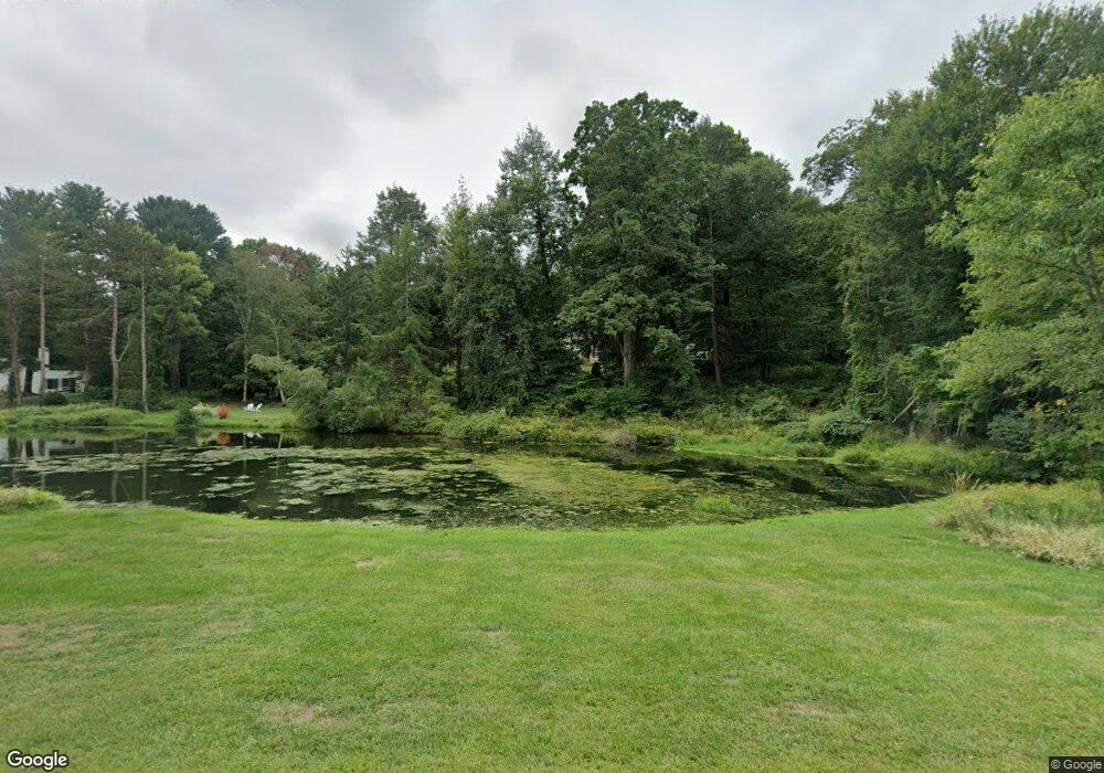
69 Sunset Farm Rd West Hartford, CT 06107
Estimated Value: $1,125,128 - $1,385,000
3
Beds
3
Baths
--
Sq Ft
2.5
Acres
About This Home
This home is located at 69 Sunset Farm Rd, West Hartford, CT 06107 and is currently estimated at $1,253,043. 69 Sunset Farm Rd is a home located in Hartford County with nearby schools including Wolcott School, Sedgwick Middle School, and Conard High School.
Ownership History
Date
Name
Owned For
Owner Type
Purchase Details
Closed on
May 3, 2011
Sold by
Worth Thomas E and Worth Antionette M
Bought by
Scott Matthew and Scott Julianne
Current Estimated Value
Home Financials for this Owner
Home Financials are based on the most recent Mortgage that was taken out on this home.
Original Mortgage
$440,000
Outstanding Balance
$304,084
Interest Rate
4.76%
Estimated Equity
$948,959
Purchase Details
Closed on
Oct 31, 1988
Sold by
Osborn F O
Bought by
Worth Antoinette
Create a Home Valuation Report for This Property
The Home Valuation Report is an in-depth analysis detailing your home's value as well as a comparison with similar homes in the area
Home Values in the Area
Average Home Value in this Area
Purchase History
| Date | Buyer | Sale Price | Title Company |
|---|---|---|---|
| Scott Matthew | $647,000 | -- | |
| Worth Antoinette | $470,000 | -- |
Source: Public Records
Mortgage History
| Date | Status | Borrower | Loan Amount |
|---|---|---|---|
| Open | Worth Antoinette | $440,000 | |
| Previous Owner | Worth Antoinette | $417,000 | |
| Previous Owner | Worth Antoinette | $320,000 |
Source: Public Records
Tax History Compared to Growth
Tax History
| Year | Tax Paid | Tax Assessment Tax Assessment Total Assessment is a certain percentage of the fair market value that is determined by local assessors to be the total taxable value of land and additions on the property. | Land | Improvement |
|---|---|---|---|---|
| 2025 | $23,829 | $532,140 | $188,300 | $343,840 |
| 2024 | $22,536 | $532,140 | $188,300 | $343,840 |
| 2023 | $21,775 | $532,140 | $188,300 | $343,840 |
| 2022 | $21,647 | $532,140 | $188,300 | $343,840 |
| 2021 | $20,614 | $485,940 | $188,300 | $297,640 |
| 2020 | $20,312 | $485,940 | $199,500 | $286,440 |
| 2019 | $20,312 | $485,940 | $199,500 | $286,440 |
| 2018 | $19,924 | $485,940 | $199,500 | $286,440 |
| 2017 | $22,126 | $539,140 | $199,500 | $339,640 |
| 2016 | $18,085 | $457,730 | $218,540 | $239,190 |
| 2015 | $17,536 | $457,730 | $218,540 | $239,190 |
| 2014 | $17,105 | $457,730 | $218,540 | $239,190 |
Source: Public Records
Map
Nearby Homes
- 41 Soby Dr
- 186 Hunter Dr
- 170 Hunter Dr
- 269 Mountain Rd
- 73 Emily Way
- 76 Jillian Cir
- 60 Cassandra Blvd
- 47 Hillsboro Dr
- 37 W Normandy Dr
- 57 Wardwell Rd
- 50 Tunxis Rd
- 11 Fairwood Farms Dr
- 51 Lemay St
- 26 Berwyn Rd
- 15 Rushleigh Rd
- 29 Fairwood Farms Dr
- 21 Rushleigh Rd
- 16 Morningcrest Dr
- 486 Deercliff Rd
- 43 Spring Ln
- 65 Sunset Farm Rd
- 100 Sunset Farm Rd
- 81 Sunset Farm Rd
- 00 Greenridge Ln
- 118 Sunset Farm Rd
- 88 Sunset Farm Rd
- 110 Sunset Farm Rd
- 115 Sunset Farm Rd
- 2 Greenridge Ln
- 76 Sunset Farm Rd
- 99 Sunset Farm Rd
- 53 Sunset Farm Rd
- 95 Sunset Farm Rd
- 119 Sunset Farm Rd
- 103 Sunset Farm Rd
- 111 Sunset Farm Rd
- 5 Stonebridge Ln
- 89 Sunset Farm Rd
- 107 Sunset Farm Rd
- 11 Greenridge Ln