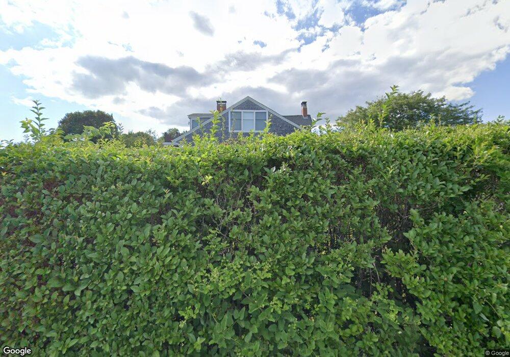
69 Thomas Ln Falmouth, MA 02540
Falmouth Village NeighborhoodEstimated Value: $2,672,227 - $3,028,000
5
Beds
4
Baths
4,201
Sq Ft
$660/Sq Ft
Est. Value
About This Home
This home is located at 69 Thomas Ln, Falmouth, MA 02540 and is currently estimated at $2,773,557, approximately $660 per square foot. 69 Thomas Ln is a home located in Barnstable County with nearby schools including Mullen-Hall School, Lawrence School, and Morse Pond School.
Ownership History
Date
Name
Owned For
Owner Type
Purchase Details
Closed on
Aug 8, 2003
Sold by
Rubel Patricia R and Rubel Thomsa E
Bought by
Schwartz Wallace and Schwartz Elizabeth M
Current Estimated Value
Home Financials for this Owner
Home Financials are based on the most recent Mortgage that was taken out on this home.
Original Mortgage
$600,000
Interest Rate
5.28%
Create a Home Valuation Report for This Property
The Home Valuation Report is an in-depth analysis detailing your home's value as well as a comparison with similar homes in the area
Home Values in the Area
Average Home Value in this Area
Purchase History
| Date | Buyer | Sale Price | Title Company |
|---|---|---|---|
| Schwartz Wallace | $1,200,000 | -- |
Source: Public Records
Mortgage History
| Date | Status | Borrower | Loan Amount |
|---|---|---|---|
| Open | Schwartz Wallace | $462,500 | |
| Closed | Schwartz Wallace | $600,000 |
Source: Public Records
Tax History Compared to Growth
Tax History
| Year | Tax Paid | Tax Assessment Tax Assessment Total Assessment is a certain percentage of the fair market value that is determined by local assessors to be the total taxable value of land and additions on the property. | Land | Improvement |
|---|---|---|---|---|
| 2025 | $12,854 | $2,189,700 | $1,187,300 | $1,002,400 |
| 2024 | $12,177 | $1,939,000 | $1,033,300 | $905,700 |
| 2023 | $12,094 | $1,747,700 | $891,400 | $856,300 |
| 2022 | $12,322 | $1,530,700 | $715,800 | $814,900 |
| 2021 | $11,876 | $1,397,200 | $656,100 | $741,100 |
| 2020 | $11,490 | $1,337,600 | $596,500 | $741,100 |
| 2019 | $11,124 | $1,299,500 | $596,500 | $703,000 |
| 2018 | $11,068 | $1,287,000 | $596,500 | $690,500 |
| 2017 | $10,425 | $1,222,200 | $596,500 | $625,700 |
| 2016 | $10,230 | $1,222,200 | $596,500 | $625,700 |
| 2015 | $9,883 | $1,206,700 | $596,500 | $610,200 |
| 2014 | $8,839 | $1,084,500 | $574,000 | $510,500 |
Source: Public Records
Map
Nearby Homes
- 15 Hedge Ln
- 65 Walker St
- 71 Main St
- 253 Scranton Ave
- 98 Main St
- 98 Main St Unit 1
- 480 Main St Unit 1
- 30 Katherine Lee Bates Rd
- 9 Fairmount Ave Unit 1
- 9 Fairmount Ave
- 110 Dillingham Ave Unit 322
- 33 Oakwood Ave
- 286 Grand Ave Unit 6
- 286 Grand Ave Unit 8
- 286 Grand Ave Unit 4
- 55 Jericho Path
- 38 Landfall Unit 38
- 38 Landfall
- 22 Alma Rd
- 87 Oyster Pond Rd
- 49 Thomas Ln Unit 1
- 49 Thomas Ln Unit 2
- 49 Thomas Ln Unit 4
- 49 Thomas Ln Unit 3
- 49 Thomas Ln Unit 2
- 49 Thomas Ln Unit 1
- 49 Thomas Ln
- 0 Thomas Ln Unit 6015943
- 0 Thomas Ln Unit A-B 2011599
- 0 Thomas Ln Unit 4000507
- 0 Thomas Ln Unit 2 2032581
- 0 Thomas Ln Unit 2 2028179
- 0 Thomas Ln Unit 3
- 51 Thomas Ln
- 26 Thomas Cir
- 27 Boyer Rd Unit 27-A
- 27 Boyer Rd Unit B
- 27 Boyer Rd Unit A
- 27 Boyer Rd Unit 27-B
- 27B Boyer Rd