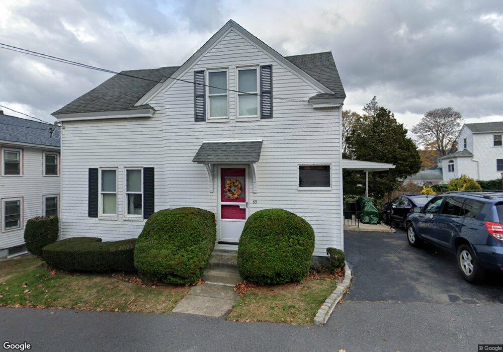
69 Union St Quincy, MA 02169
Quincy Point NeighborhoodEstimated Value: $546,505 - $667,000
2
Beds
1
Bath
1,092
Sq Ft
$569/Sq Ft
Est. Value
About This Home
This home is located at 69 Union St, Quincy, MA 02169 and is currently estimated at $621,126, approximately $568 per square foot. 69 Union St is a home located in Norfolk County with nearby schools including Point Webster Middle School, Clifford H. Marshall Elementary School, and Quincy High School.
Ownership History
Date
Name
Owned For
Owner Type
Purchase Details
Closed on
Oct 24, 2019
Sold by
Adelsburg Raymond J
Bought by
Adelsburg Raymond J and Adelsburg Carolyn A
Current Estimated Value
Purchase Details
Closed on
Mar 29, 1967
Bought by
Adelsberg Raymond J
Create a Home Valuation Report for This Property
The Home Valuation Report is an in-depth analysis detailing your home's value as well as a comparison with similar homes in the area
Home Values in the Area
Average Home Value in this Area
Purchase History
| Date | Buyer | Sale Price | Title Company |
|---|---|---|---|
| Adelsburg Raymond J | -- | -- | |
| Adelsberg Raymond J | -- | -- |
Source: Public Records
Tax History Compared to Growth
Tax History
| Year | Tax Paid | Tax Assessment Tax Assessment Total Assessment is a certain percentage of the fair market value that is determined by local assessors to be the total taxable value of land and additions on the property. | Land | Improvement |
|---|---|---|---|---|
| 2025 | $5,322 | $461,600 | $260,200 | $201,400 |
| 2024 | $4,977 | $441,600 | $247,800 | $193,800 |
| 2023 | $4,551 | $408,900 | $225,300 | $183,600 |
| 2022 | $4,578 | $382,100 | $204,800 | $177,300 |
| 2021 | $4,391 | $361,700 | $204,800 | $156,900 |
| 2020 | $4,221 | $339,600 | $193,200 | $146,400 |
| 2019 | $4,061 | $323,600 | $178,900 | $144,700 |
| 2018 | $3,963 | $297,100 | $162,600 | $134,500 |
| 2017 | $3,965 | $279,800 | $154,900 | $124,900 |
| 2016 | $3,703 | $257,900 | $140,800 | $117,100 |
| 2015 | $3,507 | $240,200 | $132,800 | $107,400 |
| 2014 | $3,393 | $228,300 | $132,800 | $95,500 |
Source: Public Records
Map
Nearby Homes
- 5 Main St
- 123 Elm St Unit D-8
- 72 Main St
- 36 Bigelow St
- 34 South St Unit 202
- 145 S Walnut St
- 15 Vine Ave
- 32 Sumner St
- 51 Sumner St
- 35 Sumner St
- 161 Sumner St
- 161 Sumner St Unit 4
- 14 Harrington Ave
- 31 Graham St
- 216 South St
- 2 Cliveden St Unit 601E
- 2 Cliveden St Unit 305E
- 18 Cliveden St Unit 201W
- 57 Summer St
- 215 Thomas Burgin Pkwy Unit 35
- 73 Union St
- 65 Union St
- 66 Edwards St
- 66 Edwards St Unit 2
- 75 Union St
- 68 Union St Unit 1
- 68 Union St Unit 4
- 68 Union St Unit 3
- 68 Union St Unit 2
- 68 Union St
- 63 Union St
- 79 Union St
- 79 Union St Unit L
- 70 Edwards St
- 74 Union St
- 81 Union St Unit 81
- 50 Edwards St
- 50 Edwards St Unit 1
- 13 Lancaster St
- 6 Lancaster St