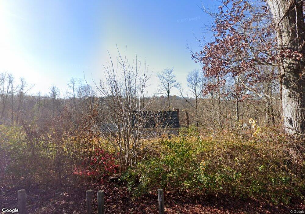
69 Warwick Rd New Fairfield, CT 06812
Estimated Value: $309,000 - $434,000
2
Beds
2
Baths
828
Sq Ft
$427/Sq Ft
Est. Value
About This Home
This home is located at 69 Warwick Rd, New Fairfield, CT 06812 and is currently estimated at $353,840, approximately $427 per square foot. 69 Warwick Rd is a home located in Fairfield County with nearby schools including Meeting House Hill School, New Fairfield Middle School, and New Fairfield High School.
Ownership History
Date
Name
Owned For
Owner Type
Purchase Details
Closed on
Dec 15, 1994
Sold by
Warwick Peter
Bought by
Lee Michael
Current Estimated Value
Home Financials for this Owner
Home Financials are based on the most recent Mortgage that was taken out on this home.
Original Mortgage
$110,500
Interest Rate
9.03%
Mortgage Type
Unknown
Create a Home Valuation Report for This Property
The Home Valuation Report is an in-depth analysis detailing your home's value as well as a comparison with similar homes in the area
Home Values in the Area
Average Home Value in this Area
Purchase History
| Date | Buyer | Sale Price | Title Company |
|---|---|---|---|
| Lee Michael | $123,000 | -- |
Source: Public Records
Mortgage History
| Date | Status | Borrower | Loan Amount |
|---|---|---|---|
| Open | Lee Michael | $240,000 | |
| Closed | Lee Michael | $165,000 | |
| Closed | Lee Michael | $110,500 | |
| Closed | Lee Michael | $14,900 |
Source: Public Records
Tax History
| Year | Tax Paid | Tax Assessment Tax Assessment Total Assessment is a certain percentage of the fair market value that is determined by local assessors to be the total taxable value of land and additions on the property. | Land | Improvement |
|---|---|---|---|---|
| 2025 | $5,076 | $192,800 | $111,700 | $81,100 |
| 2024 | $5,197 | $142,300 | $106,400 | $35,900 |
| 2023 | $4,966 | $142,300 | $106,400 | $35,900 |
| 2022 | $4,620 | $142,300 | $106,400 | $35,900 |
| 2021 | $4,481 | $142,300 | $106,400 | $35,900 |
| 2020 | $4,352 | $142,300 | $106,400 | $35,900 |
| 2019 | $4,317 | $139,700 | $106,400 | $33,300 |
| 2018 | $4,272 | $139,700 | $106,400 | $33,300 |
| 2017 | $4,166 | $139,700 | $106,400 | $33,300 |
| 2016 | $4,007 | $139,700 | $106,400 | $33,300 |
| 2015 | $4,007 | $139,700 | $106,400 | $33,300 |
| 2014 | $3,928 | $150,600 | $111,500 | $39,100 |
Source: Public Records
Map
Nearby Homes
- 1 Twin Ponds Ct
- 3 Twin Ponds Ct
- 40 Warwick Rd
- 42 Warwick Rd
- 44 Warwick Rd
- 7 Twin Ponds Ct
- 5 Twin Ponds Ct
- 67 Warwick Rd
- 2 Sugar Maple Ln
- 65 Warwick Rd
- 95 Warwick Rd
- 38 Warwick Rd
- 2 Twin Ponds Ct
- 4 Buck Mountain Ct
- 6 Buck Mountain Ct
- 1 Amber Dr
- 8 Buck Mountain Ct
- 97 Warwick Rd
- 6 Twin Ponds Ct
- 9 Twin Ponds Ct
Your Personal Tour Guide
Ask me questions while you tour the home.