69 Waterside Ln West Hartford, CT 06107
Estimated Value: $1,076,173 - $1,532,000
--
Bed
3
Baths
--
Sq Ft
0.73
Acres
About This Home
This home is located at 69 Waterside Ln, West Hartford, CT 06107 and is currently estimated at $1,262,793. 69 Waterside Ln is a home located in Hartford County with nearby schools including Wolcott School, Sedgwick Middle School, and Conard High School.
Ownership History
Date
Name
Owned For
Owner Type
Purchase Details
Closed on
Jul 11, 1995
Sold by
Lok Alex
Bought by
Lozada Adelando and Nagy Ana I
Current Estimated Value
Home Financials for this Owner
Home Financials are based on the most recent Mortgage that was taken out on this home.
Original Mortgage
$119,900
Interest Rate
7.84%
Mortgage Type
Unknown
Create a Home Valuation Report for This Property
The Home Valuation Report is an in-depth analysis detailing your home's value as well as a comparison with similar homes in the area
Home Values in the Area
Average Home Value in this Area
Purchase History
| Date | Buyer | Sale Price | Title Company |
|---|---|---|---|
| Lozada Adelando | $145,000 | -- |
Source: Public Records
Mortgage History
| Date | Status | Borrower | Loan Amount |
|---|---|---|---|
| Closed | Lozada Adelando | $119,900 |
Source: Public Records
Tax History Compared to Growth
Tax History
| Year | Tax Paid | Tax Assessment Tax Assessment Total Assessment is a certain percentage of the fair market value that is determined by local assessors to be the total taxable value of land and additions on the property. | Land | Improvement |
|---|---|---|---|---|
| 2025 | $22,557 | $503,740 | $330,000 | $173,740 |
| 2024 | $21,333 | $503,740 | $330,000 | $173,740 |
| 2023 | $20,613 | $503,740 | $330,000 | $173,740 |
| 2022 | $20,492 | $503,740 | $330,000 | $173,740 |
| 2021 | $23,043 | $543,200 | $376,800 | $166,400 |
| 2020 | $22,706 | $543,200 | $387,600 | $155,600 |
| 2019 | $22,706 | $543,200 | $387,590 | $155,610 |
| 2018 | $22,271 | $543,200 | $387,590 | $155,610 |
| 2017 | $22,293 | $543,200 | $387,590 | $155,610 |
| 2016 | $21,758 | $550,690 | $383,460 | $167,230 |
| 2015 | $21,097 | $550,690 | $383,460 | $167,230 |
| 2014 | $20,579 | $550,690 | $383,460 | $167,230 |
Source: Public Records
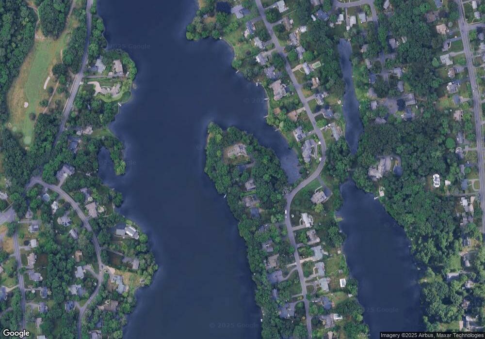
Map
Nearby Homes
- 61 Waterside Ln
- 26 Garland Rd
- 42 Fairwood Farms Dr
- 29 Fairwood Farms Dr
- 69 Fairwood Farms Dr
- 236 Ridgewood Rd
- 117 Tunxis Rd
- 9 Brookmoor Rd
- 7 Brookmoor Rd
- 34 Sandhurst Dr
- 32 Miles Standish Dr
- 126 Westminster Dr
- 50 Tunxis Rd
- 7 Buena Vista Rd
- 38 Mildred Rd
- 25 Cassandra Blvd Unit 304
- 60 Cassandra Blvd
- 73 Emily Way
- 26 Pheasant Hill Dr
- 21 Echo Ln
- 71 Waterside Ln
- 67 Waterside Ln
- 73 Waterside Ln
- 77 Waterside Ln
- 81 Waterside Ln
- 55 Waterside Ln
- 51 Waterside Ln
- 85 Waterside Ln
- 47 Waterside Ln
- 70 Waterside Ln
- 82 Waterside Ln
- 43 Waterside Ln
- 89 Waterside Ln
- 86 Waterside Ln
- 39 Waterside Ln
- 58 Waterside Ln
- 54 Waterside Ln
- 90 Waterside Ln
- 35 Waterside Ln
- 93 Waterside Ln