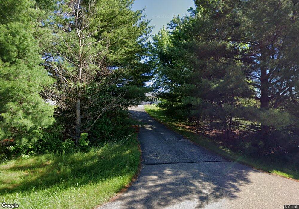
690 215th Ave Somerset, WI 54025
Estimated Value: $393,000 - $459,000
3
Beds
3
Baths
1,948
Sq Ft
$215/Sq Ft
Est. Value
About This Home
This home is located at 690 215th Ave, Somerset, WI 54025 and is currently estimated at $418,916, approximately $215 per square foot. 690 215th Ave is a home located in St. Croix County with nearby schools including Somerset Elementary School, Somerset Middle School, and Somerset High School.
Ownership History
Date
Name
Owned For
Owner Type
Purchase Details
Closed on
Dec 30, 2021
Sold by
Peterson Derrick E and Curtis E Peterson Est
Bought by
Flanagan Erin
Current Estimated Value
Home Financials for this Owner
Home Financials are based on the most recent Mortgage that was taken out on this home.
Original Mortgage
$248,000
Outstanding Balance
$228,563
Interest Rate
3.11%
Mortgage Type
New Conventional
Estimated Equity
$190,353
Purchase Details
Closed on
Jun 14, 2012
Sold by
Proulx Swanson Craig W and Proulx Swanson Stephanie
Bought by
Peterson Curtis E
Home Financials for this Owner
Home Financials are based on the most recent Mortgage that was taken out on this home.
Original Mortgage
$122,477
Interest Rate
3.87%
Mortgage Type
VA
Create a Home Valuation Report for This Property
The Home Valuation Report is an in-depth analysis detailing your home's value as well as a comparison with similar homes in the area
Home Values in the Area
Average Home Value in this Area
Purchase History
| Date | Buyer | Sale Price | Title Company |
|---|---|---|---|
| Flanagan Erin | $310,000 | St Croix County Abstract & T | |
| Peterson Curtis E | $119,900 | St Croix County Abstract & T |
Source: Public Records
Mortgage History
| Date | Status | Borrower | Loan Amount |
|---|---|---|---|
| Open | Flanagan Erin | $248,000 | |
| Previous Owner | Peterson Curtis E | $122,477 |
Source: Public Records
Tax History Compared to Growth
Tax History
| Year | Tax Paid | Tax Assessment Tax Assessment Total Assessment is a certain percentage of the fair market value that is determined by local assessors to be the total taxable value of land and additions on the property. | Land | Improvement |
|---|---|---|---|---|
| 2024 | $30 | $307,000 | $102,100 | $204,900 |
| 2023 | $2,986 | $307,000 | $102,100 | $204,900 |
| 2022 | $3,168 | $307,000 | $102,100 | $204,900 |
| 2021 | $3,175 | $217,300 | $65,100 | $152,200 |
| 2020 | $3,185 | $217,300 | $65,100 | $152,200 |
| 2019 | $2,922 | $217,300 | $65,100 | $152,200 |
| 2018 | $2,882 | $217,300 | $65,100 | $152,200 |
| 2017 | $2,905 | $217,300 | $65,100 | $152,200 |
| 2016 | $2,905 | $174,900 | $33,100 | $141,800 |
| 2015 | $2,781 | $174,900 | $33,100 | $141,800 |
| 2014 | $2,638 | $174,900 | $33,100 | $141,800 |
| 2013 | $2,646 | $174,900 | $33,100 | $141,800 |
Source: Public Records
Map
Nearby Homes
- 2136 62nd St
- Lot #1 xxx 74th St
- Lot #19 xxx 74th St
- Lot #14 xxx 74th St
- 6XX 205th Ave
- 2113 80th St
- 1986 57th St
- 1932 64th St
- 462 210th Ave
- 315 Harriman St
- 357 Harriman St
- 481 Martin Way
- The Rockport Plan at Pine Vale
- The Newport Plan at Pine Vale
- The Brook View Plan at Pine Vale
- The Cheyenne Plan at Pine Vale
- The Ashton Plan at Pine Vale
- The Waverly Plan at Pine Vale
- The Mulbery Plan at Pine Vale
- The Primrose Plan at Pine Vale
- 2151 State Road 35
- 688 215th Ave
- 2160 State Road 35
- 2159 Wisconsin 35
- 2159 State Road 35
- 2149 State Road 35
- 682 215th Ave
- 0 Xxx Hwy 35 Unit 3905923
- 0 Xxx Hwy 35 Unit 4009816
- 0 Xxx Hwy 35 Unit 4116322
- 0 Xxx Hwy 35 Unit 4009816
- 0 Xxx Hwy 35 Unit 3905923
- 0 Xxx Hwy 35
- 2168 State Road 35
- 2128 State Road 35
- 2131 State Road 35
- 2175 State Road 35
- 660 215th Ave
- 2129 State Road 35
- 658 215th Ave