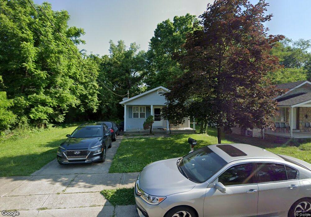
690 Adams St Cincinnati, OH 45215
Estimated Value: $114,000 - $171,000
3
Beds
1
Bath
1,052
Sq Ft
$127/Sq Ft
Est. Value
About This Home
This home is located at 690 Adams St, Cincinnati, OH 45215 and is currently estimated at $133,479, approximately $126 per square foot. 690 Adams St is a home located in Hamilton County with nearby schools including Lincoln Heights Elementary School, Princeton Community Middle School, and Princeton High School.
Ownership History
Date
Name
Owned For
Owner Type
Purchase Details
Closed on
Jun 27, 2001
Sold by
Millcreek Valley Habitat For Humanity In
Bought by
Monford Rochelle
Current Estimated Value
Home Financials for this Owner
Home Financials are based on the most recent Mortgage that was taken out on this home.
Original Mortgage
$47,800
Interest Rate
7.11%
Mortgage Type
Seller Take Back
Purchase Details
Closed on
Jun 5, 1997
Sold by
Cincinnati Housing Partners Inc
Bought by
Millcreek Valley Habitat For Humanity In
Purchase Details
Closed on
May 17, 1995
Sold by
Oakleaf Realty Co Inc
Bought by
Cincinnati Housing Partners Inc
Create a Home Valuation Report for This Property
The Home Valuation Report is an in-depth analysis detailing your home's value as well as a comparison with similar homes in the area
Home Values in the Area
Average Home Value in this Area
Purchase History
| Date | Buyer | Sale Price | Title Company |
|---|---|---|---|
| Monford Rochelle | $47,900 | -- | |
| Millcreek Valley Habitat For Humanity In | $3,000 | -- | |
| Cincinnati Housing Partners Inc | -- | -- |
Source: Public Records
Mortgage History
| Date | Status | Borrower | Loan Amount |
|---|---|---|---|
| Previous Owner | Monford Rochelle | $47,800 |
Source: Public Records
Tax History Compared to Growth
Tax History
| Year | Tax Paid | Tax Assessment Tax Assessment Total Assessment is a certain percentage of the fair market value that is determined by local assessors to be the total taxable value of land and additions on the property. | Land | Improvement |
|---|---|---|---|---|
| 2024 | $1,970 | $30,209 | $1,344 | $28,865 |
| 2023 | $1,983 | $30,209 | $1,344 | $28,865 |
| 2022 | $1,330 | $13,185 | $1,344 | $11,841 |
| 2021 | $1,300 | $13,185 | $1,344 | $11,841 |
| 2020 | $1,322 | $13,185 | $1,344 | $11,841 |
| 2019 | $1,388 | $13,185 | $1,344 | $11,841 |
| 2018 | $1,343 | $13,185 | $1,344 | $11,841 |
| 2017 | $1,292 | $13,185 | $1,344 | $11,841 |
| 2016 | $1,249 | $14,858 | $1,698 | $13,160 |
| 2015 | $1,340 | $14,858 | $1,698 | $13,160 |
| 2014 | $1,348 | $14,858 | $1,698 | $13,160 |
| 2013 | $1,639 | $18,571 | $2,121 | $16,450 |
Source: Public Records
Map
Nearby Homes
- 949 Adams St
- 10122 Grandview Ave
- 502 Marion Rd
- 10164 Wayne Ave
- 0 Adams St
- 1757 Woodruff Ln
- 1708 Harmon Dr
- 1271 Timberland Dr
- 964 Shepherd Ln
- 55 Bonham Rd
- 22 Ritchie Ave
- 112 W Leslie Ave
- 1239 Springfield Pike
- 1337 Shepherd Ln
- 505 Glendale Milford Rd
- 405 Mcewing Dr
- 11 Diplomat Dr
- 10110 Woodstock Dr
- 55 Forest Ave
- 155 Bonham Rd