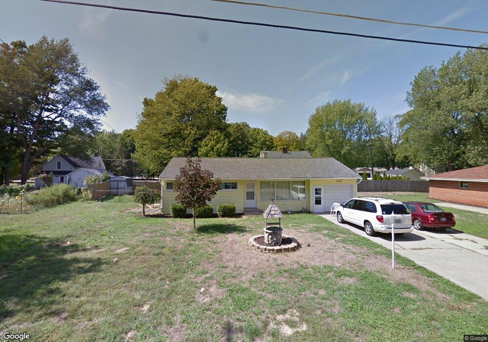
690 Anderson Ave Holland, MI 49423
Estimated Value: $322,000 - $359,000
3
Beds
1
Bath
1,774
Sq Ft
$195/Sq Ft
Est. Value
About This Home
This home is located at 690 Anderson Ave, Holland, MI 49423 and is currently estimated at $345,351, approximately $194 per square foot. 690 Anderson Ave is a home located in Ottawa County with nearby schools including Holland High School, Vanderbilt Charter Academy, and Calvary Schools of Holland - Plasman Campus.
Ownership History
Date
Name
Owned For
Owner Type
Purchase Details
Closed on
Feb 22, 2022
Sold by
Christinia Kohlmeyer
Bought by
Kohlmeyer Christinia
Current Estimated Value
Home Financials for this Owner
Home Financials are based on the most recent Mortgage that was taken out on this home.
Original Mortgage
$100,000
Outstanding Balance
$93,265
Interest Rate
3.92%
Estimated Equity
$252,086
Create a Home Valuation Report for This Property
The Home Valuation Report is an in-depth analysis detailing your home's value as well as a comparison with similar homes in the area
Home Values in the Area
Average Home Value in this Area
Purchase History
| Date | Buyer | Sale Price | Title Company |
|---|---|---|---|
| Kohlmeyer Christinia | -- | None Listed On Document |
Source: Public Records
Mortgage History
| Date | Status | Borrower | Loan Amount |
|---|---|---|---|
| Open | Kohlmeyer Christinia | $100,000 |
Source: Public Records
Tax History Compared to Growth
Tax History
| Year | Tax Paid | Tax Assessment Tax Assessment Total Assessment is a certain percentage of the fair market value that is determined by local assessors to be the total taxable value of land and additions on the property. | Land | Improvement |
|---|---|---|---|---|
| 2025 | $1,981 | $153,600 | $0 | $0 |
| 2024 | $1,296 | $144,500 | $0 | $0 |
| 2023 | $1,243 | $130,500 | $0 | $0 |
| 2022 | $1,774 | $114,000 | $0 | $0 |
| 2021 | $2,794 | $100,700 | $0 | $0 |
| 2020 | $2,786 | $94,500 | $0 | $0 |
| 2019 | $2,782 | $87,200 | $0 | $0 |
| 2018 | $3,008 | $68,600 | $0 | $0 |
| 2017 | $2,987 | $68,600 | $0 | $0 |
| 2016 | $2,975 | $64,000 | $0 | $0 |
| 2015 | -- | $59,500 | $0 | $0 |
| 2014 | -- | $56,700 | $0 | $0 |
Source: Public Records
Map
Nearby Homes
- 1933 S Shore Dr
- 1981 N Shorewood Ln Unit 6
- 1982 S Shore Dr Unit 2
- 1991 N Shorewood Ln Unit 4
- The Andover 3 Plan at Shorewood Lane
- The Andover 2 Plan at Shorewood Lane
- Andover Plan at Shorewood Lane
- 1992 S Shore Dr Unit 2
- 1992 S Shore Dr Unit 3
- 1761 S Shore Dr
- 1995 N Shorewood Ln Unit 2
- 1704 Summit St
- 645 Harrington Ave
- 6579 Partridge Ln
- 6621 Forest Beach Dr
- 1504 S Shore Dr
- 4679 Forest Ridge Dr Unit 29
- 4732 Northern Ct Unit 18
- 2312 Maksaba Trail
- 4681 Forest Ridge Dr
- 705 Saunders Ave
- 676 Anderson Ave
- 691 Saunders Ave
- 681 Saunders Ave
- 699 Anderson Ave
- 691 Anderson Ave
- 701 Anderson Ave
- 715 Saunders Ave
- 672 Anderson Ave
- 666 Saunders Ave
- 709 Anderson Ave
- 657 Anderson Ave
- 677 Saunders Ave
- 702 Saunders Ave
- 710 Saunders Ave
- 682 Saunders Ave
- 668 Anderson Ave
- 0 Anderson Ave
- 716 Saunders Ave
- 698 Coolidge Ave