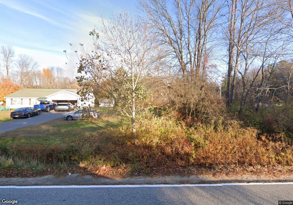
690 Cape Rd Standish, ME 04084
Estimated Value: $546,000 - $649,000
3
Beds
2
Baths
2,976
Sq Ft
$201/Sq Ft
Est. Value
About This Home
This home is located at 690 Cape Rd, Standish, ME 04084 and is currently estimated at $596,716, approximately $200 per square foot. 690 Cape Rd is a home located in Cumberland County with nearby schools including Bonny Eagle High School.
Ownership History
Date
Name
Owned For
Owner Type
Purchase Details
Closed on
Sep 4, 2020
Sold by
Malloy Reginald H
Bought by
Malloy Reginald H and Siobhan-Malloy Kate
Current Estimated Value
Home Financials for this Owner
Home Financials are based on the most recent Mortgage that was taken out on this home.
Original Mortgage
$155,000
Outstanding Balance
$136,926
Interest Rate
2.9%
Mortgage Type
New Conventional
Estimated Equity
$459,790
Purchase Details
Closed on
Jun 25, 2013
Sold by
Lane Kerri A
Bought by
Malloy 2Nd Reginald H
Home Financials for this Owner
Home Financials are based on the most recent Mortgage that was taken out on this home.
Original Mortgage
$225,000
Interest Rate
3.45%
Mortgage Type
New Conventional
Create a Home Valuation Report for This Property
The Home Valuation Report is an in-depth analysis detailing your home's value as well as a comparison with similar homes in the area
Home Values in the Area
Average Home Value in this Area
Purchase History
| Date | Buyer | Sale Price | Title Company |
|---|---|---|---|
| Malloy Reginald H | -- | None Available | |
| Malloy Reginald H | -- | None Available | |
| Malloy 2Nd Reginald H | -- | -- | |
| Malloy 2Nd Reginald H | -- | -- |
Source: Public Records
Mortgage History
| Date | Status | Borrower | Loan Amount |
|---|---|---|---|
| Open | Malloy Reginald H | $155,000 | |
| Closed | Malloy Reginald H | $155,000 | |
| Closed | Malloy 2Nd Reginald H | $225,000 | |
| Previous Owner | Malloy 2Nd Reginald H | $212,000 | |
| Previous Owner | Malloy 2Nd Reginald H | $102,250 |
Source: Public Records
Tax History Compared to Growth
Tax History
| Year | Tax Paid | Tax Assessment Tax Assessment Total Assessment is a certain percentage of the fair market value that is determined by local assessors to be the total taxable value of land and additions on the property. | Land | Improvement |
|---|---|---|---|---|
| 2024 | $5,123 | $406,600 | $75,300 | $331,300 |
| 2023 | $4,640 | $335,000 | $64,800 | $270,200 |
| 2022 | $4,432 | $306,700 | $58,700 | $248,000 |
| 2021 | $4,349 | $289,900 | $54,400 | $235,500 |
| 2019 | $4,040 | $282,500 | $52,200 | $230,300 |
| 2018 | $3,867 | $278,200 | $47,900 | $230,300 |
| 2017 | $3,686 | $278,200 | $47,900 | $230,300 |
| 2016 | $3,567 | $278,200 | $47,900 | $230,300 |
| 2015 | $3,558 | $278,200 | $47,900 | $230,300 |
| 2013 | -- | $278,200 | $47,900 | $230,300 |
Source: Public Records
Map
Nearby Homes
- TBD Saco Rd
- 541 Cape Rd
- 7 Pelletier Dr
- Lot 8 Pelletier Dr
- Lot 10 Pelletier Dr
- 580 Bonny Eagle Rd
- Lot 2 Commerce Way
- 4 Moderation St
- 4 Pelletier Dr
- 2 Bonny Eagle Rd
- 21 Holiday Ln
- 110 Saco Rd
- 324 Ossipee Trail W Unit 2
- 433 Plains Rd
- 6 Sunrise St
- 125 Old Thompson Rd
- 95 Skip Rd
- 13 Angelwood Road Extension
- 192 Cemetery Rd
- 30 Joan Dixon Way