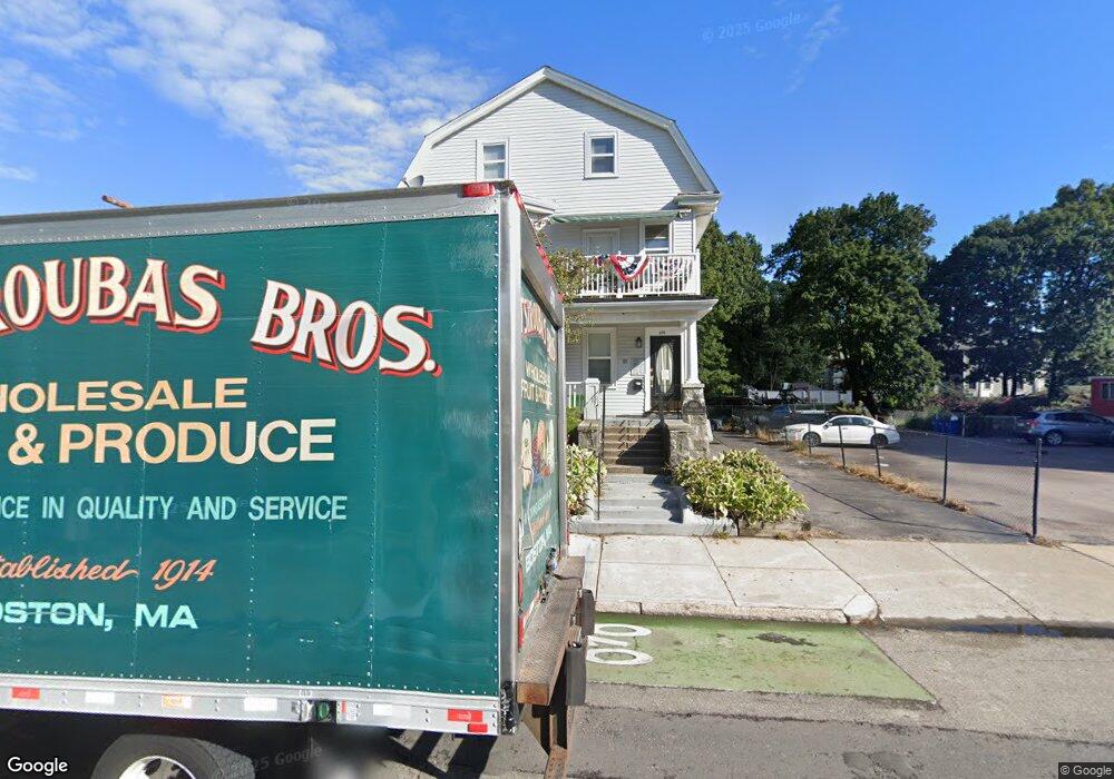
690 Cummins Hwy Mattapan, MA 02126
Southern Mattapan NeighborhoodEstimated Value: $602,544 - $1,165,000
7
Beds
3
Baths
4,382
Sq Ft
$212/Sq Ft
Est. Value
About This Home
This home is located at 690 Cummins Hwy, Mattapan, MA 02126 and is currently estimated at $927,636, approximately $211 per square foot. 690 Cummins Hwy is a home located in Suffolk County with nearby schools including KIPP Academy Boston Charter School and Berea Seventh-day Adventist Academy.
Ownership History
Date
Name
Owned For
Owner Type
Purchase Details
Closed on
Aug 2, 1996
Sold by
Connelly Mary
Bought by
Taylor John V and Wood Geraldine C
Current Estimated Value
Purchase Details
Closed on
Apr 14, 1995
Sold by
Visnick Bernard and Visnick Sylvia
Bought by
Connelly Mary
Create a Home Valuation Report for This Property
The Home Valuation Report is an in-depth analysis detailing your home's value as well as a comparison with similar homes in the area
Home Values in the Area
Average Home Value in this Area
Purchase History
| Date | Buyer | Sale Price | Title Company |
|---|---|---|---|
| Taylor John V | $155,000 | -- | |
| Connelly Mary | $50,000 | -- |
Source: Public Records
Mortgage History
| Date | Status | Borrower | Loan Amount |
|---|---|---|---|
| Open | Taylor John V | $350,500 | |
| Closed | Taylor John V | $50,000 | |
| Closed | Taylor John V | $25,000 |
Source: Public Records
Tax History Compared to Growth
Tax History
| Year | Tax Paid | Tax Assessment Tax Assessment Total Assessment is a certain percentage of the fair market value that is determined by local assessors to be the total taxable value of land and additions on the property. | Land | Improvement |
|---|---|---|---|---|
| 2025 | $5,879 | $507,700 | $146,000 | $361,700 |
| 2024 | $5,687 | $521,700 | $155,800 | $365,900 |
| 2023 | $5,443 | $506,800 | $151,400 | $355,400 |
| 2022 | $5,249 | $482,400 | $144,100 | $338,300 |
| 2021 | $4,998 | $468,400 | $139,900 | $328,500 |
| 2020 | $4,062 | $384,700 | $125,000 | $259,700 |
| 2019 | $3,687 | $349,800 | $95,500 | $254,300 |
| 2018 | $3,524 | $336,300 | $95,500 | $240,800 |
| 2017 | $3,328 | $314,300 | $95,500 | $218,800 |
| 2016 | $3,231 | $293,700 | $95,500 | $198,200 |
| 2015 | $3,565 | $294,400 | $102,200 | $192,200 |
| 2014 | $3,429 | $272,600 | $102,200 | $170,400 |
Source: Public Records
Map
Nearby Homes
- 839-843 Cummins Hwy
- 231 Itasca St
- 34 Ridlon Rd
- 770 Cummins Hwy Unit 1
- 770 Cummins Hwy Unit 22
- 10 Brockton St
- 179 Hebron St
- 72 Livermore St
- 265 Hebron St
- 95 Woodhaven St
- 90 Hollingsworth St
- 100 Itasca St
- 20 Monterey Ave
- 23 Caton St
- 60 and 64 Monterey Ave
- 48-50 Rockdale St
- 0 Tina Ave
- 14-14R Kennebec St
- 7 Winborough St
- 25 Alpine St Unit 7
- 690 Cummins Hwy
- 690 Cummins Hwy Unit 10
- 690 Cummins Hwy Unit 1
- 700 Cummins Hwy Unit Cummins Highway
- 700 Cummins Hwy
- 700 Cummins Hwy Unit 10
- 700 Cummins Hwy Unit 7
- 700 Cummins Hwy Unit 11
- 700 Cummins Hwy Unit G1
- 700 Cummins Hwy Unit 12
- 700 Cummins Hwy Unit 9
- 700 Cummins Hwy
- 700 Cummins Hwy Unit 8
- 700 Cummins Hwy Unit 6
- 700 Cummins Hwy Unit 3
- 700 Cummins Hwy Unit 2
- 700 Cummins Hwy Unit 5
- 700 Cummins Hwy Unit 4
- 249 Savannah Ave
- 272 Itasca St