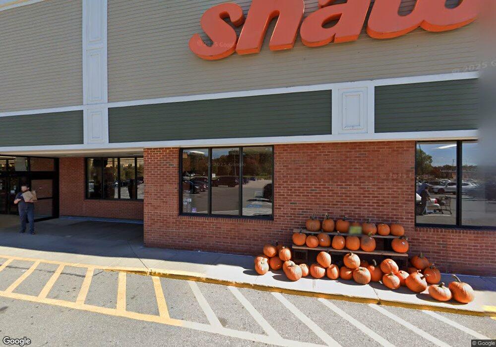
690 Depot St Easton, MA 02356
Estimated Value: $23,613,726
--
Bed
2
Baths
103,765
Sq Ft
$228/Sq Ft
Est. Value
About This Home
This home is located at 690 Depot St, Easton, MA 02356 and is currently priced at $23,613,726, approximately $227 per square foot. 690 Depot St is a home located in Bristol County with nearby schools including Easton Middle School and St Mary's Catholic School.
Ownership History
Date
Name
Owned For
Owner Type
Purchase Details
Closed on
Jun 25, 2014
Sold by
Ag Wp Easton Llc
Bought by
Shaws Easton Station L
Current Estimated Value
Purchase Details
Closed on
May 13, 2011
Sold by
Cshv Easton Llc
Bought by
Ag Wp Easton L L C
Purchase Details
Closed on
Sep 9, 2008
Sold by
Csdv-Gp Llc
Bought by
Cshv Easton Llc
Purchase Details
Closed on
Jun 5, 2000
Sold by
Shaws Rt
Bought by
California State Teach
Create a Home Valuation Report for This Property
The Home Valuation Report is an in-depth analysis detailing your home's value as well as a comparison with similar homes in the area
Home Values in the Area
Average Home Value in this Area
Purchase History
| Date | Buyer | Sale Price | Title Company |
|---|---|---|---|
| Shaws Easton Station L | $12,393,975 | -- | |
| Shaws Easton Station L | $12,393,975 | -- | |
| Ag Wp Easton L L C | $12,375,000 | -- | |
| Ag Wp Easton L L C | $12,375,000 | -- | |
| Cshv Easton Llc | -- | -- | |
| Cshv Easton Llc | -- | -- | |
| California State Teach | $8,745,000 | -- | |
| California State Teach | $8,745,000 | -- |
Source: Public Records
Tax History Compared to Growth
Tax History
| Year | Tax Paid | Tax Assessment Tax Assessment Total Assessment is a certain percentage of the fair market value that is determined by local assessors to be the total taxable value of land and additions on the property. | Land | Improvement |
|---|---|---|---|---|
| 2025 | $209,971 | $14,352,100 | $6,451,200 | $7,900,900 |
| 2024 | $199,965 | $12,193,000 | $4,965,200 | $7,227,800 |
| 2023 | $205,118 | $12,630,400 | $4,965,200 | $7,665,200 |
| 2022 | $194,382 | $12,630,400 | $4,965,200 | $7,665,200 |
| 2021 | $195,519 | $12,630,400 | $4,965,200 | $7,665,200 |
| 2020 | $194,256 | $12,630,400 | $4,965,200 | $7,665,200 |
| 2019 | $193,478 | $12,122,700 | $4,965,200 | $7,157,500 |
| 2018 | $196,509 | $12,122,700 | $4,965,200 | $7,157,500 |
| 2017 | $196,630 | $12,122,700 | $4,965,200 | $7,157,500 |
| 2016 | $192,455 | $11,887,300 | $4,965,200 | $6,922,100 |
| 2015 | $199,469 | $11,887,300 | $4,965,200 | $6,922,100 |
| 2014 | $197,924 | $11,887,300 | $4,965,200 | $6,922,100 |
Source: Public Records
Map
Nearby Homes
- 441 Foundry St
- 10 Matthew Cir
- 416 Foundry St
- 17 Gaslight Ln
- 531 Foundry St Unit E
- 531 Foundry St Unit D
- 531 Foundry St Unit A
- 531 Foundry St Unit C
- 23 Tanglewood Dr
- 1 Newell Cir
- 64 South St
- 30 King Arthur Rd
- 20 Coach Rd
- 555 Foundry St Unit B
- 23 Cutter Dr
- 3 Coach Rd
- Starling Plan at Sawmill Village
- Mallard Plan at Sawmill Village
- Goldfinch Plan at Sawmill Village
- Falcon Plan at Sawmill Village
- 682 Depot St
- 459 Foundry St
- 515 Foundry St
- 466 Foundry St
- 700 Depot St
- 455 Foundry St
- 451 Foundry St Unit A
- 451 Foundry St
- 466 Foundry St
- 394 Foundry
- 2 Greenwood St Unit 2,1
- 478 Foundry St Unit 3
- 478 Foundry St Unit 2
- 478 Foundry St Unit 1
- 464 Foundry St
- 460 Foundry St
- 720 Depot St
- 670 Depot St Unit 1B
- 447 Foundry St
- 227 Sixth