690 E Benson Ridge Rd Grapeview, WA 98546
Estimated Value: $1,200,000 - $1,507,582
Studio
--
Bath
2,753
Sq Ft
$492/Sq Ft
Est. Value
About This Home
This home is located at 690 E Benson Ridge Rd, Grapeview, WA 98546 and is currently estimated at $1,353,791, approximately $491 per square foot. 690 E Benson Ridge Rd is a home with nearby schools including Grapeview Elementary/Middle School.
Ownership History
Date
Name
Owned For
Owner Type
Purchase Details
Closed on
Jan 2, 2025
Sold by
Beaver Fredrick
Bought by
Montagne Properties Llc
Current Estimated Value
Purchase Details
Closed on
Jan 1, 2023
Sold by
Beaver Fredrick G
Bought by
Beaver Fredrick G and Forte Rhonda M
Purchase Details
Closed on
Dec 2, 2019
Sold by
Richardson Jeffrey and Richardson Janice
Bought by
Beaver Fredrick
Home Financials for this Owner
Home Financials are based on the most recent Mortgage that was taken out on this home.
Original Mortgage
$112,455
Interest Rate
3.7%
Mortgage Type
Seller Take Back
Create a Home Valuation Report for This Property
The Home Valuation Report is an in-depth analysis detailing your home's value as well as a comparison with similar homes in the area
Purchase History
| Date | Buyer | Sale Price | Title Company |
|---|---|---|---|
| Montagne Properties Llc | -- | None Listed On Document | |
| Montagne Properties Llc | -- | None Listed On Document | |
| Beaver Fredrick G | -- | None Listed On Document | |
| Beaver Fredrick | $124,669 | Land Title Co |
Source: Public Records
Mortgage History
| Date | Status | Borrower | Loan Amount |
|---|---|---|---|
| Previous Owner | Beaver Fredrick | $112,455 |
Source: Public Records
Tax History
| Year | Tax Paid | Tax Assessment Tax Assessment Total Assessment is a certain percentage of the fair market value that is determined by local assessors to be the total taxable value of land and additions on the property. | Land | Improvement |
|---|---|---|---|---|
| 2025 | $4,792 | $1,270,345 | $197,570 | $1,072,775 |
| 2024 | $4,792 | $645,945 | $191,815 | $454,130 |
| 2023 | $1,592 | $186,975 | $175,975 | $11,000 |
| 2022 | $829 | $92,695 | $84,195 | $8,500 |
| 2021 | $607 | $92,695 | $84,195 | $8,500 |
| 2020 | $569 | $72,580 | $72,580 | $0 |
Source: Public Records
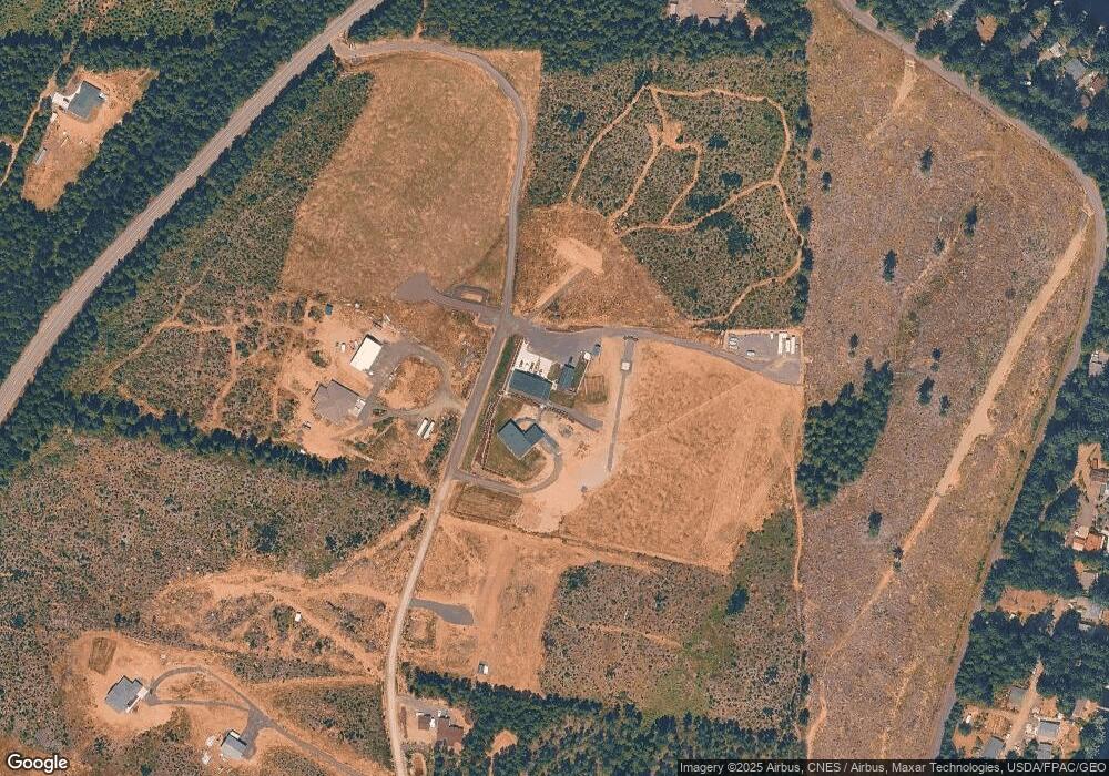
Map
Nearby Homes
- 0 TR 4 E Mason Lake Rd
- 0 TR 3 E Mason Lake Rd
- 381 E Benson Ridge Rd
- 200 E Roos Ct
- 350 E Olympic Dr
- 2980 E Mason Lake Dr E
- 0 E Savage Ln
- 920 E Mason Lake Dr S
- 320 Rivendell Rd
- 151 E Kingsley Place
- 148 E Fox Run Ln
- 900 930 E Wilson Way
- 900 E Wilson Way
- 930 E Wilson Way
- 0 E Twanoh Heights Rd N Unit NWM2489797
- 670 E Wilson Way
- 151 E Hillside Dr
- 61 E Woods Place
- 2 Lot E Rasor (& E Trails End) Rd
- 235 E Heights Place N
- 0 Xx Benson Ridge Rd
- 0 E Benson Ridge Rd Unit BLA 3
- 720 E Benson Ridge Rd
- 720 E E Benson Ridge Rd
- 1271 E Benson Lake Dr
- 1271 E Benson Lake Rd
- 20 E Woodlane Dr
- 890 E Benson Lake Dr
- 840 E Benson Lake Dr
- 70 E Woodlane Dr
- 860 E Benson Lake Dr
- 111 E Woodlane Dr
- 80 E Woodlane Dr
- 70 E Woodlane Dr
- 820 E Benson Lake Dr
- 28 Benson Lake Dr
- 850 E Benson Lake Dr
- 800 E Benson Lake Dr
- 120 E Woodlane Dr
- 780 E Benson Lake Dr
Your Personal Tour Guide
Ask me questions while you tour the home.