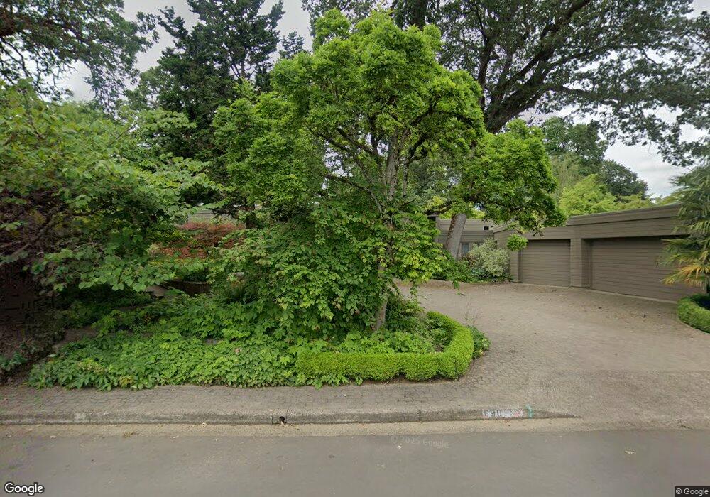
690 Fair Oaks Dr Eugene, OR 97401
Cal Young NeighborhoodEstimated Value: $1,052,000 - $1,517,000
4
Beds
3
Baths
4,449
Sq Ft
$299/Sq Ft
Est. Value
About This Home
This home is located at 690 Fair Oaks Dr, Eugene, OR 97401 and is currently estimated at $1,328,335, approximately $298 per square foot. 690 Fair Oaks Dr is a home located in Lane County with nearby schools including Willagillespie Elementary School, Monroe Middle School, and Sheldon High School.
Ownership History
Date
Name
Owned For
Owner Type
Purchase Details
Closed on
Mar 10, 2000
Sold by
Mashaw Ethel C
Bought by
Grieve William G and Grieve Denise D
Current Estimated Value
Purchase Details
Closed on
Feb 5, 1998
Sold by
Hershner James L and Hershner Ilene R
Bought by
Grieve William G and Grieve Denise D
Home Financials for this Owner
Home Financials are based on the most recent Mortgage that was taken out on this home.
Original Mortgage
$523,800
Interest Rate
6.95%
Mortgage Type
Seller Take Back
Create a Home Valuation Report for This Property
The Home Valuation Report is an in-depth analysis detailing your home's value as well as a comparison with similar homes in the area
Home Values in the Area
Average Home Value in this Area
Purchase History
| Date | Buyer | Sale Price | Title Company |
|---|---|---|---|
| Grieve William G | $126,500 | Cascade Title Co | |
| Grieve William G | $654,750 | Cascade Title Co |
Source: Public Records
Mortgage History
| Date | Status | Borrower | Loan Amount |
|---|---|---|---|
| Previous Owner | Grieve William G | $523,800 |
Source: Public Records
Tax History Compared to Growth
Tax History
| Year | Tax Paid | Tax Assessment Tax Assessment Total Assessment is a certain percentage of the fair market value that is determined by local assessors to be the total taxable value of land and additions on the property. | Land | Improvement |
|---|---|---|---|---|
| 2025 | $18,075 | $927,680 | -- | -- |
| 2024 | $17,850 | $900,661 | -- | -- |
| 2023 | $17,850 | $874,429 | $0 | $0 |
| 2022 | $16,722 | $848,961 | $0 | $0 |
| 2021 | $15,204 | $824,234 | $0 | $0 |
| 2020 | $14,982 | $800,228 | $0 | $0 |
| 2019 | $14,446 | $776,921 | $0 | $0 |
| 2018 | $13,556 | $732,323 | $0 | $0 |
| 2017 | $12,971 | $732,323 | $0 | $0 |
| 2016 | $12,543 | $710,993 | $0 | $0 |
| 2015 | $12,166 | $690,284 | $0 | $0 |
| 2014 | $11,985 | $670,179 | $0 | $0 |
Source: Public Records
Map
Nearby Homes
- 2150 Greenview St
- 2107 Bedford Way
- 2250 Turnberry Ct
- 863 Fairway View Dr
- 2015 Eastwood Ln
- 820 Lariat Dr
- 529 Antelope Way
- 516 Spyglass Dr
- 410 Spyglass Dr
- 1261 Spyglass Dr
- 1282 Evening Star Ln
- 2355 Pioneer Pike
- 347 Rustic Place Unit 1
- 0 Crenshaw Rd Unit 233397127
- 0 Crenshaw Rd Unit 740506614
- 0 Crenshaw Rd Unit 645385106
- 1328 Spyglass Dr
- 2568 Sharon Way
- 950 Coburg Rd
- 2055 Monterey Ln
- 680 Fair Oaks Dr
- 700 Fair Oaks Dr
- 708 Kimwood Place
- 695 Fair Oaks Dr
- 614 Fair Oaks Dr
- 605 Fair Oaks Dr
- 715 Fair Oaks Dr
- 712 Kimwood Place
- 2050 Bedford Way
- 716 Kimwood Place
- 592 Fair Oaks Dr
- 720 Fair Oaks Dr
- 2051 Bedford Way
- 2015 Oakmont Way
- 2070 Bedford Way
- 731 Fair Oaks Dr
- 2140 Greenview St
- 2130 Greenview St
- 730 Fair Oaks Dr
- 580 Fair Oaks Dr