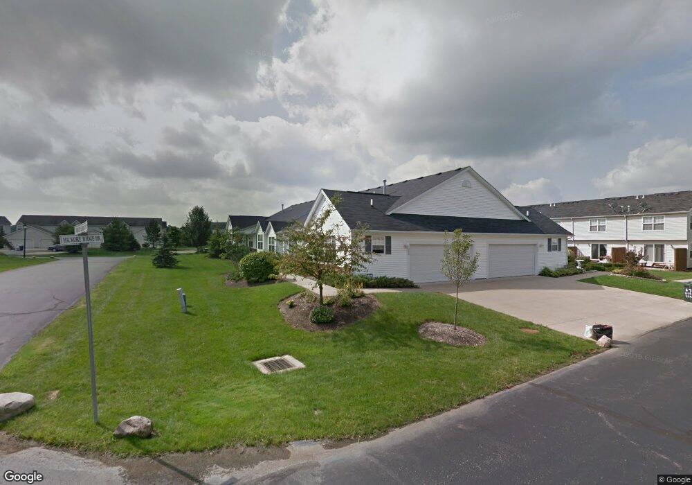
690 Gold Leaf Ct Streetsboro, OH 44241
Estimated Value: $226,000 - $237,321
2
Beds
3
Baths
1,170
Sq Ft
$197/Sq Ft
Est. Value
About This Home
This home is located at 690 Gold Leaf Ct, Streetsboro, OH 44241 and is currently estimated at $230,580, approximately $197 per square foot. 690 Gold Leaf Ct is a home located in Portage County with nearby schools including Henry Defer Intermediate Elementary School, Streetsboro Middle School, and Streetsboro High School.
Ownership History
Date
Name
Owned For
Owner Type
Purchase Details
Closed on
May 16, 2024
Sold by
Krotine Patricia A
Bought by
Krotine Patricia A and Krotine Daniel J
Current Estimated Value
Purchase Details
Closed on
Dec 12, 2018
Sold by
Nemeth Edward N & Carol J (Trustees)
Bought by
Nemeth Carol J
Purchase Details
Closed on
May 4, 2006
Sold by
Nemeth Family Living Trust
Bought by
Krotine Patricia A
Home Financials for this Owner
Home Financials are based on the most recent Mortgage that was taken out on this home.
Original Mortgage
$147,000
Interest Rate
6.81%
Mortgage Type
New Conventional
Purchase Details
Closed on
Sep 24, 2003
Sold by
Riskru Streetsboro Llc
Bought by
Nemeth Edward N and Nement Carol J
Create a Home Valuation Report for This Property
The Home Valuation Report is an in-depth analysis detailing your home's value as well as a comparison with similar homes in the area
Home Values in the Area
Average Home Value in this Area
Purchase History
| Date | Buyer | Sale Price | Title Company |
|---|---|---|---|
| Krotine Patricia A | -- | None Listed On Document | |
| Nemeth Carol J | -- | -- | |
| Krotine Patricia A | $210,000 | None Listed On Document | |
| Nemeth Edward N | -- | None Available | |
| Nemeth Edward N | $164,600 | -- |
Source: Public Records
Mortgage History
| Date | Status | Borrower | Loan Amount |
|---|---|---|---|
| Previous Owner | Krotine Patricia A | $147,000 |
Source: Public Records
Tax History Compared to Growth
Tax History
| Year | Tax Paid | Tax Assessment Tax Assessment Total Assessment is a certain percentage of the fair market value that is determined by local assessors to be the total taxable value of land and additions on the property. | Land | Improvement |
|---|---|---|---|---|
| 2024 | $2,633 | $73,510 | $6,130 | $67,380 |
| 2023 | $2,410 | $56,920 | $6,130 | $50,790 |
| 2022 | $2,435 | $56,920 | $6,130 | $50,790 |
| 2021 | $2,444 | $56,920 | $6,130 | $50,790 |
| 2020 | $2,319 | $50,690 | $6,130 | $44,560 |
| 2019 | $2,341 | $50,690 | $6,130 | $44,560 |
| 2018 | $1,737 | $43,760 | $6,130 | $37,630 |
| 2017 | $1,737 | $43,760 | $6,130 | $37,630 |
| 2016 | $1,738 | $43,760 | $6,130 | $37,630 |
| 2015 | $1,741 | $43,760 | $6,130 | $37,630 |
| 2014 | $1,943 | $47,500 | $6,130 | $41,370 |
| 2013 | $1,935 | $47,500 | $6,130 | $41,370 |
Source: Public Records
Map
Nearby Homes
- 701 Gold Leaf Ct
- 9381 Hickory Ridge Dr
- 792 State Route 303
- 939 State Route 303
- 9085 Sandpiper Dr
- 9251 Chestnut Ct
- 9247 Chestnut Ct
- 1011 Ashwood Ln
- 1013 Ashwood Ln
- 8929 Falcon Dr
- 9011 Wood Thursh
- 9005 Sandpiper Dr
- 708 Diane Ave
- 572 David Dr
- 9740 Michael Dr
- 1041 Fronek Dr
- 1401 Colony Dr
- 10101 Ravenwood Ct
- 1405 Gillie Dr
- 10131 Buckhorn Trail
- 692 Gold Leaf Ct
- 700 Gold Leaf Ct
- 691 Gold Leaf Ct
- 699 Gold Leaf Ct
- 706 Gold Leaf Ct
- 693 Gold Leaf Ct
- 693 Crownwood Ct
- 691 Crownwood Ct
- 695 Crownwood Ct
- 697 Crownwood Ct
- 699 Crownwood Ct
- 9285 Hickory Ridge Dr
- 708 Gold Leaf Ct
- 701 Crownwood Ct
- 9279 Hickory Ridge Dr
- 9277 Hickory Ridge Dr
- 9275 Hickory Ridge Dr
- 9287 Hickory Ridge Dr
- 9273 Hickory Ridge Dr
- 712 Gold Leaf Ct