Estimated Value: $87,254 - $110,000
--
Bed
--
Bath
1,008
Sq Ft
$101/Sq Ft
Est. Value
About This Home
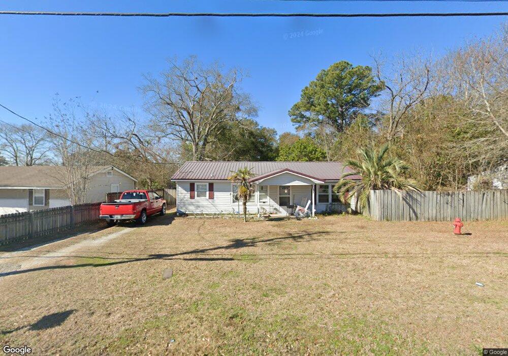
This home is located at 690 Lakeview Rd, Ozark, AL 36360 and is currently estimated at $101,314, approximately $100 per square foot. 690 Lakeview Rd is a home located in Dale County with nearby schools including Lisenby Primary School, Mixon Intermediate School, and D. A. Smith Middle School.
Ownership History
Date
Name
Owned For
Owner Type
Purchase Details
Closed on
May 1, 2024
Sold by
Patterson Melissa A
Bought by
Patterson Brandon
Current Estimated Value
Home Financials for this Owner
Home Financials are based on the most recent Mortgage that was taken out on this home.
Original Mortgage
$66,137
Outstanding Balance
$65,208
Interest Rate
6.87%
Mortgage Type
New Conventional
Estimated Equity
$36,106
Purchase Details
Closed on
Jul 9, 2013
Sold by
Patterson Jeffery D
Bought by
Patterson Melissa A
Create a Home Valuation Report for This Property
The Home Valuation Report is an in-depth analysis detailing your home's value as well as a comparison with similar homes in the area
Home Values in the Area
Average Home Value in this Area
Purchase History
| Date | Buyer | Sale Price | Title Company |
|---|---|---|---|
| Patterson Brandon | $85,000 | None Listed On Document | |
| Patterson Brandon | $85,000 | None Listed On Document | |
| Patterson Melissa A | -- | -- |
Source: Public Records
Mortgage History
| Date | Status | Borrower | Loan Amount |
|---|---|---|---|
| Open | Patterson Brandon | $66,137 | |
| Closed | Patterson Brandon | $66,137 |
Source: Public Records
Tax History Compared to Growth
Tax History
| Year | Tax Paid | Tax Assessment Tax Assessment Total Assessment is a certain percentage of the fair market value that is determined by local assessors to be the total taxable value of land and additions on the property. | Land | Improvement |
|---|---|---|---|---|
| 2024 | $323 | $7,460 | $700 | $6,760 |
| 2023 | $323 | $6,520 | $700 | $5,820 |
| 2022 | $219 | $5,400 | $5,400 | $0 |
| 2021 | $202 | $5,060 | $700 | $4,360 |
| 2020 | $202 | $5,060 | $400 | $4,660 |
| 2019 | $202 | $5,060 | $400 | $4,660 |
| 2018 | $185 | $4,740 | $400 | $4,340 |
| 2017 | $185 | $4,740 | $400 | $4,340 |
| 2016 | $183 | $4,700 | $400 | $4,300 |
| 2015 | $183 | $4,700 | $400 | $4,300 |
| 2014 | $180 | $4,640 | $400 | $4,240 |
| 2013 | $194 | $4,940 | $400 | $4,540 |
Source: Public Records
Map
Nearby Homes
- 480 Gunter St
- 1425 Lakeview Rd
- 252 Del Rio Terrace
- 0 Del Rio Terrace
- 0 Briar Cliff Rd Lot 5 Bk E
- 0 Briar Cliff Dr Lot 1 Blk D
- 290 Balcom Rd
- 13.35 Acres U S 231
- 4.3 Acres U S 231
- 1.5 Acres U S 231
- 729 Pine Ave
- 1.144 Acres S Highway 231
- 876 Camilla Ave
- 240 Bradford Dr
- 00 Lot 9 & 10 Sandy Hill
- 0 Deese Rd
- 262 Rosemary Ln
- 166 Garner Dr
- 00
- 179 Dixie Dr
- 676 Lakeview Rd
- 704 Lakeview Rd
- 41 Lakeview Ct
- 660 Lakeview Rd
- 724 Lakeview Rd
- 138 Charles St
- 167 Lakeview Rd
- 138 Charles St
- 154 Charles St
- 634 Lakeview Rd
- 145 Gunter St
- LOT 12 Lakeshore Dr
- 205 Lakeshore Ave
- LOT U S 231
- 163 Gunter St
- 121 Charles St
- 143 Charles St
- 177 Charles St
- 786 Lakeview Rd
- 219 Gunter St