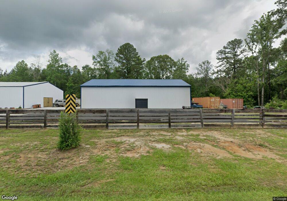
690 Midway Rd Franklin, GA 30217
Estimated Value: $185,000 - $348,000
2
Beds
3
Baths
1,000
Sq Ft
$290/Sq Ft
Est. Value
About This Home
This home is located at 690 Midway Rd, Franklin, GA 30217 and is currently estimated at $289,623, approximately $289 per square foot. 690 Midway Rd is a home located in Heard County with nearby schools including Heard County High School.
Ownership History
Date
Name
Owned For
Owner Type
Purchase Details
Closed on
Feb 24, 2012
Sold by
Weed Randy
Bought by
Georgia Transmission Corp
Current Estimated Value
Purchase Details
Closed on
Jun 30, 2011
Sold by
Synovus Bank
Bought by
Weed Randy
Purchase Details
Closed on
Nov 2, 2010
Sold by
Newsome Leona
Bought by
Synovus Bank
Purchase Details
Closed on
Jun 19, 2001
Sold by
Newsome Charles D
Bought by
Newsome Leona
Purchase Details
Closed on
Nov 1, 1986
Sold by
Burton Leroy L
Bought by
Newsome Charles D
Purchase Details
Closed on
May 1, 1985
Sold by
Brown Ralph
Bought by
Burton Leroy L
Purchase Details
Closed on
Feb 2, 1959
Bought by
Brown Ralph
Create a Home Valuation Report for This Property
The Home Valuation Report is an in-depth analysis detailing your home's value as well as a comparison with similar homes in the area
Home Values in the Area
Average Home Value in this Area
Purchase History
| Date | Buyer | Sale Price | Title Company |
|---|---|---|---|
| Georgia Transmission Corp | $7,000 | -- | |
| Weed Randy | $4,950 | -- | |
| Synovus Bank | $12,500 | -- | |
| Newsome Leona | -- | -- | |
| Newsome Charles D | $13,500 | -- | |
| Burton Leroy L | -- | -- | |
| Brown Ralph | -- | -- |
Source: Public Records
Tax History Compared to Growth
Tax History
| Year | Tax Paid | Tax Assessment Tax Assessment Total Assessment is a certain percentage of the fair market value that is determined by local assessors to be the total taxable value of land and additions on the property. | Land | Improvement |
|---|---|---|---|---|
| 2024 | $1,942 | $113,272 | $11,232 | $102,040 |
| 2023 | $2,276 | $109,052 | $9,360 | $99,692 |
| 2022 | $1,152 | $47,012 | $5,916 | $41,096 |
| 2021 | $211 | $9,611 | $5,916 | $3,695 |
| 2020 | $203 | $9,131 | $5,916 | $3,215 |
| 2019 | $203 | $9,131 | $5,916 | $3,215 |
| 2018 | $207 | $9,131 | $5,916 | $3,215 |
| 2017 | $181 | $8,877 | $5,402 | $3,475 |
| 2016 | $181 | $8,018 | $5,402 | $2,616 |
| 2015 | -- | $10,948 | $8,800 | $2,148 |
| 2014 | -- | $10,948 | $8,800 | $2,148 |
| 2013 | -- | $10,948 | $8,800 | $2,148 |
Source: Public Records
Map
Nearby Homes
- 323 Newman Rd
- 192 Hawk Rd
- 0 Newman Rd Unit 10559645
- 4230 Joe Stephens Rd
- 0 Thomas Powers Rd Unit 10569332
- 0 Thomas Powers Rd Unit 5.54+/- ACRES
- 0 Thomas Powers Rd Unit 24228819
- 220 Dogwood Rd
- 19860 Georgia 34
- 19860 Ga Hwy 34
- 260 Ancient Oak Ln
- 642 Elm Rd
- 927 Boy Scout Rd
- 712 Boy Scout Rd
- 189 & 191 W Plantation Dr
- 1227 J D Walton Rd
- 38 Daniel Cir
- 4398 Georgia 34
- 17426 Georgia 34
- 57 Scout Way
- 555 Joe Stephens Rd
- 565 Midway Rd
- 2022 Joe Stephens Rd
- 565 Midway Rd
- 564 Midway Rd
- 188 Buckeye Rd
- 530 Midway Rd
- 118 Will Callaway Rd
- 146 Will Callaway Rd
- 170 Will Callaway Rd
- 121 Will Callaway Rd
- 2168 Joe Stephens Rd
- 145 Callaway Rd
- 502 Midway Rd
- 491 Midway Rd
- 209 Will Callaway Rd
- 479 Midway Rd
- 484 Midway Rd
- 467 Midway Rd
- 181 Buckeye Rd